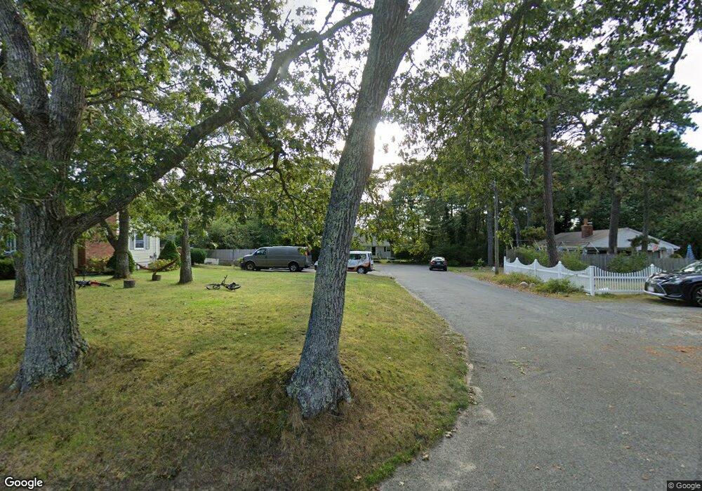
9 Raintree Rd Dennis Port, MA 02639
Dennis Port NeighborhoodEstimated Value: $582,000 - $644,000
3
Beds
2
Baths
1,180
Sq Ft
$514/Sq Ft
Est. Value
About This Home
This home is located at 9 Raintree Rd, Dennis Port, MA 02639 and is currently estimated at $606,483, approximately $513 per square foot. 9 Raintree Rd is a home located in Barnstable County with nearby schools including Dennis-Yarmouth Regional High School and St. Pius X. School.
Ownership History
Date
Name
Owned For
Owner Type
Purchase Details
Closed on
Jul 21, 2006
Sold by
Warner Lillian R
Bought by
Holve Kerstin
Current Estimated Value
Home Financials for this Owner
Home Financials are based on the most recent Mortgage that was taken out on this home.
Original Mortgage
$160,000
Outstanding Balance
$95,093
Interest Rate
6.67%
Mortgage Type
Purchase Money Mortgage
Estimated Equity
$511,390
Create a Home Valuation Report for This Property
The Home Valuation Report is an in-depth analysis detailing your home's value as well as a comparison with similar homes in the area
Home Values in the Area
Average Home Value in this Area
Purchase History
| Date | Buyer | Sale Price | Title Company |
|---|---|---|---|
| Holve Kerstin | $310,000 | -- |
Source: Public Records
Mortgage History
| Date | Status | Borrower | Loan Amount |
|---|---|---|---|
| Open | Holve Kerstin | $160,000 |
Source: Public Records
Tax History Compared to Growth
Tax History
| Year | Tax Paid | Tax Assessment Tax Assessment Total Assessment is a certain percentage of the fair market value that is determined by local assessors to be the total taxable value of land and additions on the property. | Land | Improvement |
|---|---|---|---|---|
| 2025 | $2,462 | $568,700 | $133,300 | $435,400 |
| 2024 | $2,371 | $540,000 | $135,800 | $404,200 |
| 2023 | $2,293 | $490,900 | $123,400 | $367,500 |
| 2022 | $2,214 | $395,300 | $123,500 | $271,800 |
| 2021 | $2,018 | $334,600 | $109,000 | $225,600 |
| 2020 | $11,985 | $313,800 | $109,000 | $204,800 |
| 2019 | $1,799 | $291,600 | $106,900 | $184,700 |
| 2018 | $10,976 | $269,800 | $101,700 | $168,100 |
| 2017 | $10,976 | $245,800 | $101,700 | $144,100 |
| 2016 | $1,523 | $233,200 | $113,000 | $120,200 |
| 2015 | $1,492 | $233,200 | $113,000 | $120,200 |
| 2014 | $1,337 | $210,600 | $90,400 | $120,200 |
Source: Public Records
Map
Nearby Homes
- 11 Lane Rd
- 91 Depot Rd W
- 537 Depot St
- 141 Division St
- 141 Division St
- 24 Indian Trail
- 47 Telegraph Rd Unit 1
- 9 Country Ln
- 78 Upper County Rd Unit A&B
- 78 Upper County Rd
- 9 Bells Neck Rd Unit 10
- 45 Route 28
- 12 Candlewood Ln Unit 2-9
- 10 Candlewood Ln Unit 2-1
- 9 Mansion St
- 64 Smith St
- 79 Massachusetts 28
- 360 Center St
- 40 Willow St
- 20 Aunt Debbys Rd