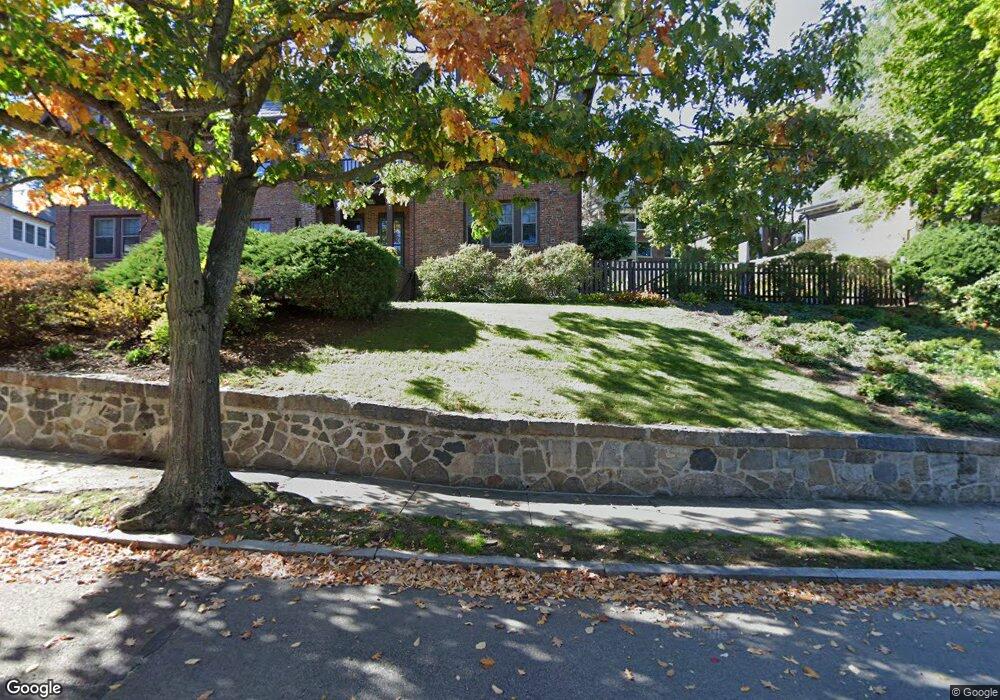
9 Rawson Rd Brookline, MA 02445
Washington Square NeighborhoodEstimated Value: $1,748,000 - $2,410,000
3
Beds
3
Baths
2,849
Sq Ft
$719/Sq Ft
Est. Value
About This Home
This home is located at 9 Rawson Rd, Brookline, MA 02445 and is currently estimated at $2,048,928, approximately $719 per square foot. 9 Rawson Rd is a home located in Norfolk County with nearby schools including John D. Runkle School, Brookline High School, and St. Mary of the Assumption Elementary School.
Ownership History
Date
Name
Owned For
Owner Type
Purchase Details
Closed on
Aug 29, 2013
Sold by
Marchant Edward H and Marchant Catherine M
Bought by
Edward H Marchant Lt and Marchant Edward H
Current Estimated Value
Purchase Details
Closed on
Sep 16, 1977
Bought by
Marchant Edward H
Create a Home Valuation Report for This Property
The Home Valuation Report is an in-depth analysis detailing your home's value as well as a comparison with similar homes in the area
Home Values in the Area
Average Home Value in this Area
Purchase History
| Date | Buyer | Sale Price | Title Company |
|---|---|---|---|
| Edward H Marchant Lt | -- | -- | |
| Marchant Edward H | -- | -- |
Source: Public Records
Tax History
| Year | Tax Paid | Tax Assessment Tax Assessment Total Assessment is a certain percentage of the fair market value that is determined by local assessors to be the total taxable value of land and additions on the property. | Land | Improvement |
|---|---|---|---|---|
| 2025 | $17,182 | $1,740,800 | $0 | $1,740,800 |
| 2024 | $16,674 | $1,706,700 | $0 | $1,706,700 |
| 2023 | $16,166 | $1,621,500 | $0 | $1,621,500 |
| 2022 | $16,042 | $1,574,300 | $0 | $1,574,300 |
| 2021 | $15,276 | $1,558,800 | $0 | $1,558,800 |
| 2020 | $14,585 | $1,543,400 | $0 | $1,543,400 |
| 2019 | $12,461 | $1,329,900 | $0 | $1,329,900 |
| 2018 | $11,982 | $1,266,600 | $0 | $1,266,600 |
| 2017 | $11,586 | $1,172,700 | $0 | $1,172,700 |
| 2016 | $11,109 | $1,066,100 | $0 | $1,066,100 |
| 2015 | $10,351 | $969,200 | $0 | $969,200 |
| 2014 | $9,984 | $876,600 | $0 | $876,600 |
Source: Public Records
Map
Nearby Homes
- 84 Winthrop Rd Unit 1
- 84 Winthrop Rd
- 15 Colbourne Crescent Unit 2
- 89 University Rd
- 4 Fairbanks St Unit 2
- 90 Addington Rd Unit 1
- 90 Addington Rd Unit 2
- 57 University Rd Unit 3
- 20 Claflin Rd Unit A
- 71 Greenough St Unit 71-1
- 195 Winthrop Rd Unit 1
- 1618 Beacon St Unit 1
- 1490 Beacon St Unit 4
- 1620 Beacon St
- 24 Blake Rd
- 140 Sumner Rd Unit 1
- 315 Tappan St Unit 4
- 30 York Terrace
- 19 Westbourne Terrace Unit 2
- 33 Westbourne Terrace Unit 4
- 7 Rawson Rd Unit 2
- 7 Rawson Rd
- 78 Winthrop Rd Unit 1
- 78 Winthrop Rd
- 78 Winthrop Rd Unit 2
- 78 Winthrop Rd Unit PH
- 78 Winthrop Rd Unit A
- 45 Rawson Rd
- 47 Rawson Rd
- 26 Colbourne Crescent Unit 28
- 26 Colbourne Crescent Unit 1
- 28 Colbourne Crescent Unit SPECIAL
- 28 Colbourne Crescent Unit 1
- 28 Colbourne Crescent
- 22 Colbourne Crescent
- 22 Colbourne Crescent Unit 1
- 6 Rawson Rd
- 32 Colbourne Crescent
- 18 Colbourne Crescent
- 18 Colbourne Crescent Unit 2
Your Personal Tour Guide
Ask me questions while you tour the home.