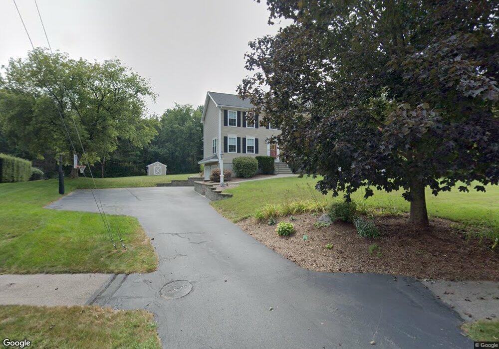
9 Riverside Rd Franklin, MA 02038
Estimated Value: $706,000 - $900,000
3
Beds
4
Baths
2,146
Sq Ft
$372/Sq Ft
Est. Value
About This Home
This home is located at 9 Riverside Rd, Franklin, MA 02038 and is currently estimated at $798,850, approximately $372 per square foot. 9 Riverside Rd is a home located in Norfolk County with nearby schools including John F. Kennedy Memorial School, Horace Mann Middle School, and Franklin High School.
Ownership History
Date
Name
Owned For
Owner Type
Purchase Details
Closed on
Jun 28, 1996
Sold by
Anderson Barry E and Anderson Christa M
Bought by
Doherty Stephen J and Doherty Linda K
Current Estimated Value
Home Financials for this Owner
Home Financials are based on the most recent Mortgage that was taken out on this home.
Original Mortgage
$165,000
Interest Rate
8.05%
Mortgage Type
Purchase Money Mortgage
Purchase Details
Closed on
Jan 27, 1995
Sold by
Dunster Homes Inc
Bought by
Anderson Barry E and Anderson Christa M
Create a Home Valuation Report for This Property
The Home Valuation Report is an in-depth analysis detailing your home's value as well as a comparison with similar homes in the area
Purchase History
We collect this data history from publicly available records. To have your information removed, we recommend requesting removal directly through your county’s website.
| Date | Buyer | Sale Price | Title Company |
|---|---|---|---|
| Doherty Stephen J | $198,000 | -- | |
| Anderson Barry E | $189,900 | -- |
Source: Public Records
Mortgage History
We collect this data history from publicly available records. To have your information removed, we recommend requesting removal directly through your county’s website.
| Date | Status | Borrower | Loan Amount |
|---|---|---|---|
| Open | Anderson Barry E | $167,000 | |
| Closed | Anderson Barry E | $180,000 | |
| Closed | Anderson Barry E | $167,200 | |
| Closed | Anderson Barry E | $165,000 |
Source: Public Records
Tax History
| Year | Tax Paid | Tax Assessment Tax Assessment Total Assessment is a certain percentage of the fair market value that is determined by local assessors to be the total taxable value of land and additions on the property. | Land | Improvement |
|---|---|---|---|---|
| 2025 | $7,891 | $679,100 | $332,900 | $346,200 |
| 2024 | $7,824 | $663,600 | $332,900 | $330,700 |
| 2023 | $7,797 | $619,800 | $289,100 | $330,700 |
| 2022 | $7,209 | $513,100 | $219,000 | $294,100 |
| 2021 | $7,388 | $504,300 | $243,400 | $260,900 |
| 2020 | $6,573 | $453,000 | $227,300 | $225,700 |
| 2019 | $6,524 | $445,000 | $219,300 | $225,700 |
| 2018 | $6,115 | $417,400 | $215,300 | $202,100 |
| 2017 | $5,880 | $403,300 | $201,200 | $202,100 |
| 2016 | $5,819 | $401,300 | $203,800 | $197,500 |
| 2015 | $5,878 | $396,100 | $198,600 | $197,500 |
| 2014 | $5,371 | $371,700 | $174,200 | $197,500 |
Source: Public Records
Map
Nearby Homes
- 394 Village St
- 3 Harmony Way Unit 3
- 10 Charles River Rd
- 18 Anchorage Rd
- 7 Holbrook St
- 6 Teresa Cir
- 359 Hartford Ave
- 14 Sanford St Unit 66
- 14 Sanford St Unit 61
- 8 Thomas Dr
- 20 Broad St Unit 1
- 20 Broad St Unit 5
- 22 Dogwood Ln
- 19 Barber St Unit B
- 120 Village St Unit A
- 118 Village St Unit A
- 64 Holliston St
- 37 North St
- 10 Cooper Dr
- 50 Main St
Your Personal Tour Guide
Ask me questions while you tour the home.