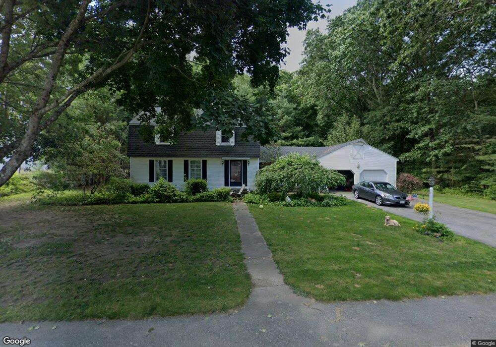
9 Robertson Rd Auburn, MA 01501
Downtown Auburn NeighborhoodEstimated Value: $567,000 - $654,000
4
Beds
3
Baths
2,262
Sq Ft
$267/Sq Ft
Est. Value
About This Home
This home is located at 9 Robertson Rd, Auburn, MA 01501 and is currently estimated at $603,361, approximately $266 per square foot. 9 Robertson Rd is a home located in Worcester County with nearby schools including Auburn Senior High School and Shrewsbury Montessori School - Auburn Campus.
Ownership History
Date
Name
Owned For
Owner Type
Purchase Details
Closed on
Oct 14, 2025
Sold by
Gilmartin Lt and Gilmartin
Bought by
Prunier Adrien L and Prunier Kathleen M
Current Estimated Value
Home Financials for this Owner
Home Financials are based on the most recent Mortgage that was taken out on this home.
Original Mortgage
$384,000
Outstanding Balance
$383,653
Interest Rate
6.5%
Mortgage Type
Purchase Money Mortgage
Estimated Equity
$219,708
Purchase Details
Closed on
Aug 6, 2018
Sold by
Gilmartin Lt and Gilmartin
Bought by
Gilmartin Lt and Gilmartin
Purchase Details
Closed on
Sep 21, 2006
Sold by
Gilmartin Edward P and Gilmartin Mary L
Bought by
Gilmartin Lt and Gilmartin
Create a Home Valuation Report for This Property
The Home Valuation Report is an in-depth analysis detailing your home's value as well as a comparison with similar homes in the area
Home Values in the Area
Average Home Value in this Area
Purchase History
| Date | Buyer | Sale Price | Title Company |
|---|---|---|---|
| Prunier Adrien L | $416,667 | -- | |
| Gilmartin Lt | -- | -- | |
| Gilmartin Lt | -- | -- | |
| Gilmartin Lt | -- | -- |
Source: Public Records
Mortgage History
| Date | Status | Borrower | Loan Amount |
|---|---|---|---|
| Open | Prunier Adrien L | $384,000 | |
| Previous Owner | Gilmartin Lt | $25,000 | |
| Previous Owner | Gilmartin Lt | $25,000 | |
| Previous Owner | Gilmartin Lt | $25,000 |
Source: Public Records
Tax History Compared to Growth
Tax History
| Year | Tax Paid | Tax Assessment Tax Assessment Total Assessment is a certain percentage of the fair market value that is determined by local assessors to be the total taxable value of land and additions on the property. | Land | Improvement |
|---|---|---|---|---|
| 2025 | $74 | $518,000 | $131,700 | $386,300 |
| 2024 | $7,832 | $524,600 | $126,800 | $397,800 |
| 2023 | $7,467 | $470,200 | $115,300 | $354,900 |
| 2022 | $7,133 | $424,100 | $115,300 | $308,800 |
| 2021 | $2,516 | $385,200 | $101,800 | $283,400 |
| 2020 | $64,388 | $385,200 | $101,800 | $283,400 |
| 2019 | $31 | $349,200 | $100,900 | $248,300 |
| 2018 | $0 | $340,500 | $94,300 | $246,200 |
| 2017 | $6,083 | $331,700 | $85,500 | $246,200 |
| 2016 | $5,988 | $331,000 | $96,100 | $234,900 |
| 2015 | $5,651 | $327,400 | $96,100 | $231,300 |
| 2014 | $5,519 | $319,200 | $91,500 | $227,700 |
Source: Public Records
Map
Nearby Homes
- 2 Victoria Dr Unit 1
- 326 Pakachoag St
- 52 Harrison Ave
- 31 Walsh Ave
- 33 Walsh Ave
- 31-33 Walsh Ave
- 34 Rockland Rd
- 55 Old Common Rd
- 2 Breezy Bend
- 83 Bryn Mawr Ave
- 204-212 Hampton St
- 12 Lancaster St
- 25 Vinal St Unit 26
- 25 Vinal St Unit 29
- 25 Vinal St Unit 30
- 1 Ashcroft St
- 3 Lower Windbrook Dr
- 381 Oxford St N
- 61 Elmwood St
- 47 Washington St Unit 26
- 7 Robertson Rd
- 11 Robertson Rd
- 8 Robertson Rd
- 5 Robertson Rd
- 6 Robertson Rd
- 10 Robertson Rd
- 4 Robertson Rd
- 8 Victoria Dr Unit 2
- 8 Victoria Dr Unit 1
- 13 Robertson Rd
- 6 Victoria Dr Unit 3
- 6 Victoria Dr Unit 1
- 6 Victoria Dr Unit 3-6
- 14 Robertson Rd
- 2 Robertson Rd
- 3 Robertson Rd
- 9 Victoria Dr Unit 3
- 9 Victoria Dr Unit 2
- 9 Victoria Dr Unit 1
- 7 Boyden Ln