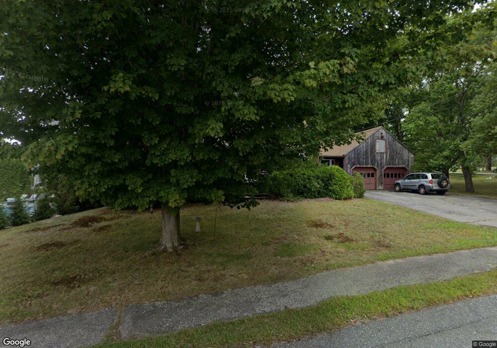
9 Rowena Ave Whitman, MA 02382
Estimated Value: $580,000 - $687,000
4
Beds
2
Baths
1,680
Sq Ft
$372/Sq Ft
Est. Value
About This Home
This home is located at 9 Rowena Ave, Whitman, MA 02382 and is currently estimated at $625,356, approximately $372 per square foot. 9 Rowena Ave is a home located in Plymouth County with nearby schools including St Bridget School.
Ownership History
Date
Name
Owned For
Owner Type
Purchase Details
Closed on
Jan 28, 2011
Sold by
Grillo Richard P and Grillo Lynda M
Bought by
Mcginnis Carol A and Mcginnis Greorge M
Current Estimated Value
Home Financials for this Owner
Home Financials are based on the most recent Mortgage that was taken out on this home.
Original Mortgage
$274,060
Outstanding Balance
$187,977
Interest Rate
4.83%
Mortgage Type
Purchase Money Mortgage
Estimated Equity
$437,379
Create a Home Valuation Report for This Property
The Home Valuation Report is an in-depth analysis detailing your home's value as well as a comparison with similar homes in the area
Home Values in the Area
Average Home Value in this Area
Purchase History
| Date | Buyer | Sale Price | Title Company |
|---|---|---|---|
| Mcginnis Carol A | $284,000 | -- |
Source: Public Records
Mortgage History
| Date | Status | Borrower | Loan Amount |
|---|---|---|---|
| Open | Mcginnis Carol A | $274,060 | |
| Previous Owner | Mcginnis Carol A | $118,000 | |
| Previous Owner | Mcginnis Carol A | $115,000 | |
| Previous Owner | Mcginnis Carol A | $148,800 |
Source: Public Records
Tax History Compared to Growth
Tax History
| Year | Tax Paid | Tax Assessment Tax Assessment Total Assessment is a certain percentage of the fair market value that is determined by local assessors to be the total taxable value of land and additions on the property. | Land | Improvement |
|---|---|---|---|---|
| 2025 | $6,323 | $481,900 | $217,400 | $264,500 |
| 2024 | $5,851 | $459,300 | $213,200 | $246,100 |
| 2023 | $5,562 | $409,900 | $184,800 | $225,100 |
| 2022 | $5,504 | $378,000 | $168,000 | $210,000 |
| 2021 | $5,529 | $356,700 | $162,800 | $193,900 |
| 2020 | $5,421 | $342,000 | $154,400 | $187,600 |
| 2019 | $5,069 | $329,600 | $154,400 | $175,200 |
| 2018 | $4,978 | $310,900 | $147,000 | $163,900 |
| 2017 | $4,688 | $310,900 | $147,000 | $163,900 |
| 2016 | $4,414 | $283,100 | $131,300 | $151,800 |
| 2015 | $4,344 | $278,300 | $131,300 | $147,000 |
Source: Public Records
Map
Nearby Homes
- 521 Franklin St
- 150 Franklin St
- 84 Washington St
- 190 W Washington St
- 281 Commercial St
- 842 Whitman St
- 325 Commercial St
- 82 Tavern Way
- 54-56 Stetson St
- 23 Reed Place
- 154 Auburn St
- 159 Auburn St
- 157 Auburn St Unit 157
- 8 Wild Turkey Ln
- 48 Day St
- 96 Cherry St Unit 98
- 9 Daisy Ln
- 150 Harvard St
- 22 Howland Trail Unit 34
- The Hanson Plan at Cushing Trails