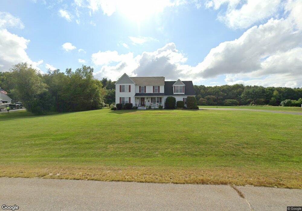
9 Sally Dr Gorham, ME 04038
Estimated Value: $800,910 - $864,000
4
Beds
3
Baths
2,897
Sq Ft
$283/Sq Ft
Est. Value
About This Home
This home is located at 9 Sally Dr, Gorham, ME 04038 and is currently estimated at $818,478, approximately $282 per square foot. 9 Sally Dr is a home located in Cumberland County with nearby schools including Village Elementary School, Gorham Middle School, and Gorham High School.
Ownership History
Date
Name
Owned For
Owner Type
Purchase Details
Closed on
Sep 6, 2013
Sold by
Palleschi Catherine A
Bought by
Palleschi Catherine A and Peters John C
Current Estimated Value
Home Financials for this Owner
Home Financials are based on the most recent Mortgage that was taken out on this home.
Original Mortgage
$178,500
Interest Rate
4.34%
Mortgage Type
Purchase Money Mortgage
Create a Home Valuation Report for This Property
The Home Valuation Report is an in-depth analysis detailing your home's value as well as a comparison with similar homes in the area
Home Values in the Area
Average Home Value in this Area
Purchase History
| Date | Buyer | Sale Price | Title Company |
|---|---|---|---|
| Palleschi Catherine A | -- | -- |
Source: Public Records
Mortgage History
| Date | Status | Borrower | Loan Amount |
|---|---|---|---|
| Closed | Palleschi Catherine A | $178,500 |
Source: Public Records
Tax History
| Year | Tax Paid | Tax Assessment Tax Assessment Total Assessment is a certain percentage of the fair market value that is determined by local assessors to be the total taxable value of land and additions on the property. | Land | Improvement |
|---|---|---|---|---|
| 2025 | $9,130 | $616,900 | $77,200 | $539,700 |
| 2024 | $9,068 | $616,900 | $77,200 | $539,700 |
| 2023 | $8,345 | $606,900 | $77,200 | $529,700 |
| 2022 | $7,799 | $606,900 | $77,200 | $529,700 |
| 2021 | $6,712 | $346,000 | $64,800 | $281,200 |
| 2020 | $6,356 | $334,500 | $64,800 | $269,700 |
| 2019 | $5,969 | $315,000 | $64,800 | $250,200 |
| 2018 | $5,655 | $310,700 | $64,800 | $245,900 |
| 2017 | $5,313 | $310,700 | $64,800 | $245,900 |
| 2016 | $5,282 | $310,700 | $64,800 | $245,900 |
| 2015 | $5,064 | $310,700 | $64,800 | $245,900 |
| 2014 | $5,328 | $306,200 | $87,200 | $219,000 |
| 2013 | $5,297 | $306,200 | $87,200 | $219,000 |
Source: Public Records
Map
Nearby Homes
- 866 Parker Farm Rd Unit A
- 866 Parker Farm Rd Unit B
- 866 Parker Farm Lot B Rd
- 866 Parker Farm Lot A Rd
- 4 Musket Dr
- 35 Rust Rd
- 30 Joan Dixon Way
- 207 Dunnell Rd
- 82 Carll Rd
- 42 Brandons Way
- 116 Dingley Spring Rd
- 90 Green Acres Dr
- 0 Waterman
- 17 Boreal Dr
- 30 Boreal Dr
- 127 Falcon Crest Dr Unit 4
- Lot 2 Commerce Way
- 52 Morrill Ave
- 185 Falcon Crest Dr Unit 29
- 182 Falcon Crest Dr Unit 56
- 3 Sally Dr
- 17 Sally Dr
- 12 Sally Dr
- 4 Sally Dr
- 40 Dewayns Way
- 21 Sally Dr
- 31 Dewayns Way
- 41 Dewayns Way
- 18 Sally Dr
- 59 Henderson Dr
- 20 Dewayns Way
- 23 Duchaine Dr
- 23 Duchaine Dr Unit 6
- 15 Dewayns Way
- 11 Dewayns Way
- 27 Duchaine Dr Unit 9
- 4 Dewayns Way
- 11 Dewayn's Way
- 15 Duchaine Dr
- 15 Duchaine Dr Unit 2
Your Personal Tour Guide
Ask me questions while you tour the home.