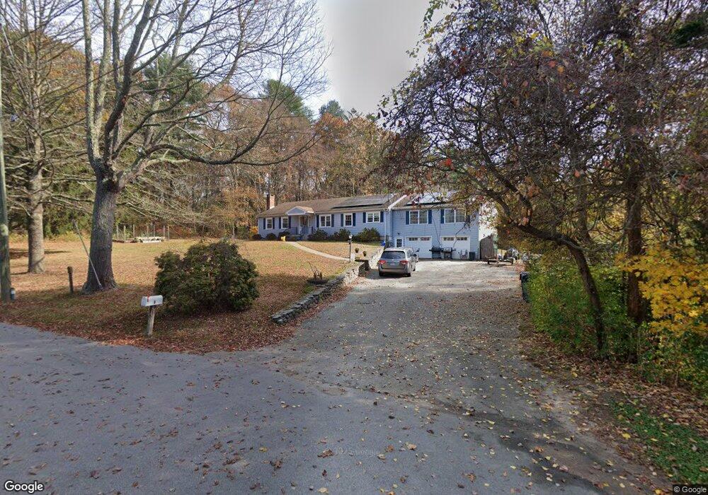
9 Sands Dr Old Lyme, CT 06371
Estimated Value: $541,000 - $792,000
3
Beds
4
Baths
2,760
Sq Ft
$251/Sq Ft
Est. Value
About This Home
This home is located at 9 Sands Dr, Old Lyme, CT 06371 and is currently estimated at $692,126, approximately $250 per square foot. 9 Sands Dr is a home located in New London County with nearby schools including Mile Creek School, Lyme-Old Lyme Middle School, and Lyme-Old Lyme High School.
Ownership History
Date
Name
Owned For
Owner Type
Purchase Details
Closed on
Jul 9, 2018
Sold by
Merrill Kimberly F
Bought by
Merrill 3Rd Lawrence M
Current Estimated Value
Home Financials for this Owner
Home Financials are based on the most recent Mortgage that was taken out on this home.
Original Mortgage
$208,000
Outstanding Balance
$180,662
Interest Rate
4.6%
Mortgage Type
Purchase Money Mortgage
Estimated Equity
$511,464
Purchase Details
Closed on
Aug 30, 1993
Sold by
Federal Natl Mtg Assoc
Bought by
Merill Lawrence M and Merrill Kimberly F
Home Financials for this Owner
Home Financials are based on the most recent Mortgage that was taken out on this home.
Original Mortgage
$111,600
Interest Rate
7.06%
Mortgage Type
Unknown
Create a Home Valuation Report for This Property
The Home Valuation Report is an in-depth analysis detailing your home's value as well as a comparison with similar homes in the area
Home Values in the Area
Average Home Value in this Area
Purchase History
| Date | Buyer | Sale Price | Title Company |
|---|---|---|---|
| Merrill 3Rd Lawrence M | $260,000 | -- | |
| Merill Lawrence M | $124,000 | -- |
Source: Public Records
Mortgage History
| Date | Status | Borrower | Loan Amount |
|---|---|---|---|
| Open | Merill Lawrence M | $208,000 | |
| Previous Owner | Merill Lawrence M | $120,000 | |
| Previous Owner | Merill Lawrence M | $111,600 | |
| Previous Owner | Merill Lawrence M | $133,500 |
Source: Public Records
Tax History
| Year | Tax Paid | Tax Assessment Tax Assessment Total Assessment is a certain percentage of the fair market value that is determined by local assessors to be the total taxable value of land and additions on the property. | Land | Improvement |
|---|---|---|---|---|
| 2025 | $5,953 | $366,800 | $84,800 | $282,000 |
| 2024 | $5,529 | $226,600 | $87,400 | $139,200 |
| 2023 | $5,325 | $226,600 | $87,400 | $139,200 |
| 2022 | $5,325 | $226,600 | $87,400 | $139,200 |
| 2021 | $5,280 | $226,600 | $87,400 | $139,200 |
| 2020 | $5,257 | $226,600 | $87,400 | $139,200 |
| 2019 | $4,953 | $221,000 | $77,700 | $143,300 |
| 2018 | $4,842 | $221,000 | $77,700 | $143,300 |
| 2017 | $4,807 | $221,000 | $77,700 | $143,300 |
| 2016 | $4,685 | $221,000 | $77,700 | $143,300 |
| 2015 | $4,557 | $221,000 | $77,700 | $143,300 |
| 2014 | $3,816 | $194,100 | $77,700 | $116,400 |
Source: Public Records
Map
Nearby Homes
- 1 & 3 Neck Rd
- 60 Lyme St
- 1 Huntley Rd
- 8 Lieutenant River Ln
- 34 Lyme St
- 3 Ferry Rd
- 5 Wyckford Ln Unit 5
- 175 Ferry Rd Unit 4
- 6-1 and 8-1 Meetinghouse Ln
- 5 Sunrise Ave
- 9 2nd Ave
- 7 Katherine Rd
- 34 Johnny Cake Hill Rd
- 96 Ayers Point Rd
- 70 Sill Ln
- 41 Whippoorwill Rd
- 6 Parkman Place
- 3 Whippoorwill Rd
- 41-1 Whippoorwill Rd
- 12 Hill Rd
Your Personal Tour Guide
Ask me questions while you tour the home.