9 Seaview Ave Kennebunkport, ME 04046
Estimated Value: $2,011,000 - $5,485,000
4
Beds
4
Baths
3,162
Sq Ft
$1,297/Sq Ft
Est. Value
About This Home
This home is located at 9 Seaview Ave, Kennebunkport, ME 04046 and is currently estimated at $4,101,387, approximately $1,297 per square foot. 9 Seaview Ave is a home with nearby schools including Kennebunk High School.
Ownership History
Date
Name
Owned For
Owner Type
Purchase Details
Closed on
Dec 31, 2012
Sold by
Zimmerman Edith M Est
Bought by
Marshman Ann Z and Zimmerman David J
Current Estimated Value
Home Financials for this Owner
Home Financials are based on the most recent Mortgage that was taken out on this home.
Original Mortgage
$999,999
Outstanding Balance
$695,627
Interest Rate
3.38%
Mortgage Type
Purchase Money Mortgage
Estimated Equity
$3,405,760
Purchase Details
Closed on
May 4, 2012
Sold by
Zimmerman Edith M Est
Bought by
Zimmerman Est Edith M and Zimmerman Stanley E
Create a Home Valuation Report for This Property
The Home Valuation Report is an in-depth analysis detailing your home's value as well as a comparison with similar homes in the area
Home Values in the Area
Average Home Value in this Area
Purchase History
| Date | Buyer | Sale Price | Title Company |
|---|---|---|---|
| Marshman Ann Z | -- | -- | |
| Zimmerman Ft | -- | -- | |
| Zimmerman Stanley E | -- | -- | |
| Zimmerman Est Edith M | -- | -- |
Source: Public Records
Mortgage History
| Date | Status | Borrower | Loan Amount |
|---|---|---|---|
| Open | Marshman Ann Z | $999,999 |
Source: Public Records
Tax History Compared to Growth
Tax History
| Year | Tax Paid | Tax Assessment Tax Assessment Total Assessment is a certain percentage of the fair market value that is determined by local assessors to be the total taxable value of land and additions on the property. | Land | Improvement |
|---|---|---|---|---|
| 2024 | $30,359 | $4,670,600 | $4,104,100 | $566,500 |
| 2023 | $29,144 | $4,663,100 | $4,104,100 | $559,000 |
| 2022 | $27,947 | $4,657,800 | $4,104,100 | $553,700 |
| 2021 | $21,943 | $2,285,700 | $1,796,700 | $489,000 |
| 2020 | $21,600 | $2,285,700 | $1,796,700 | $489,000 |
| 2019 | $21,210 | $2,244,400 | $1,796,700 | $447,700 |
| 2018 | $19,661 | $2,244,400 | $1,796,700 | $447,700 |
| 2017 | $19,526 | $2,244,400 | $1,796,700 | $447,700 |
| 2016 | $18,584 | $2,244,400 | $1,796,700 | $447,700 |
| 2015 | $17,282 | $2,244,400 | $1,796,700 | $447,700 |
| 2014 | $17,125 | $2,244,400 | $1,796,700 | $447,700 |
Source: Public Records
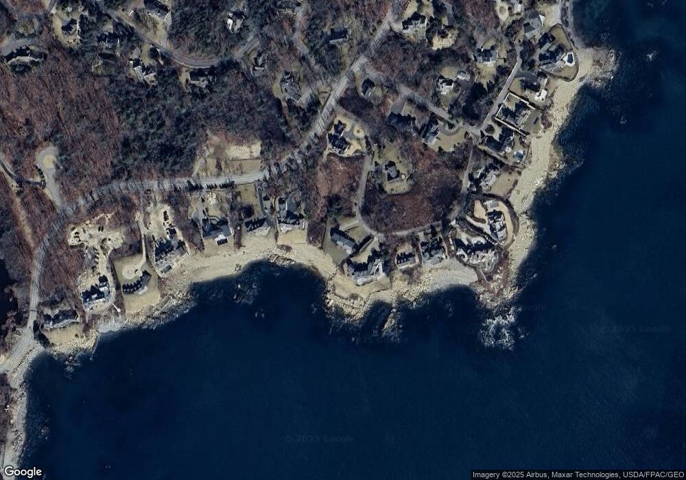
Map
Nearby Homes
- 28 Washburn Dr
- 298 Ocean Ave
- 6 Ocean Sound Dr
- 51 Woodland Dr
- 2 Poets Ln
- 52 Turbats Creek Rd
- 2A Ivy Ln
- Lot 2 Woodland Dr
- 1 Creekside Unit 1
- 3 Creekside Unit 2
- 18 Nehoc Ln
- 8 Arlington Ave Unit A-1
- 17 Juniper Knoll
- 11 Harbor Dr
- 113 Wildes District Rd
- 47 Maine St Unit 4
- 15 Magnolia Dr
- 22 High Point Dr
- 60 Ocean Ave
- 5 Harwood Dr
- 11 Seaview Ave
- 283 Ocean Ave
- 15 Seaview Ave
- 3 Seaview Ave
- 279 Ocean Ave
- 17 Seaview Ave
- 0 TBD Seaview Ave
- 6 Seaview Ave
- 000 Ocean & Windemere Ave
- 275 Ocean Ave
- 19 Seaview Ave
- 22 Windemere Place
- 0 Ocean Ave and Sea View Ave
- 26 Windemere Place
- 21 Seaview Ave
- 26 Windemere Place
- 0 Ocean & Sea View Ave
- 20 Windemere Dr
- 26 Windemere Dr
- 0 Ocean Ave Unit 873760