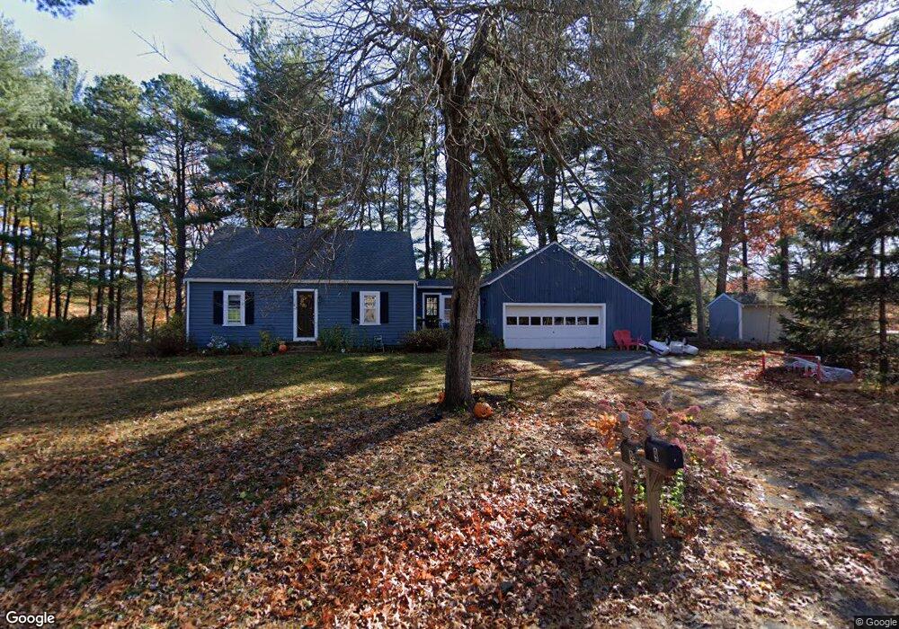
9 Shore Ave Maynard, MA 01754
Estimated Value: $635,000 - $686,000
3
Beds
2
Baths
1,796
Sq Ft
$368/Sq Ft
Est. Value
About This Home
This home is located at 9 Shore Ave, Maynard, MA 01754 and is currently estimated at $661,463, approximately $368 per square foot. 9 Shore Ave is a home located in Middlesex County with nearby schools including Green Meadow School, Fowler School, and Maynard High School.
Ownership History
Date
Name
Owned For
Owner Type
Purchase Details
Closed on
Feb 20, 2018
Sold by
Sylvia S Erkkinen Rt
Bought by
Devita Jamal T and Devita Manda M
Current Estimated Value
Home Financials for this Owner
Home Financials are based on the most recent Mortgage that was taken out on this home.
Original Mortgage
$302,800
Outstanding Balance
$256,186
Interest Rate
3.95%
Mortgage Type
New Conventional
Estimated Equity
$405,277
Purchase Details
Closed on
Jan 22, 2004
Sold by
Erkkinen Sylvia S
Bought by
Mccann Elaine M and Erkkinen John F
Create a Home Valuation Report for This Property
The Home Valuation Report is an in-depth analysis detailing your home's value as well as a comparison with similar homes in the area
Home Values in the Area
Average Home Value in this Area
Purchase History
| Date | Buyer | Sale Price | Title Company |
|---|---|---|---|
| Devita Jamal T | $378,500 | -- | |
| Mccann Elaine M | -- | -- | |
| Mccann Elaine M | -- | -- |
Source: Public Records
Mortgage History
| Date | Status | Borrower | Loan Amount |
|---|---|---|---|
| Open | Devita Jamal T | $302,800 |
Source: Public Records
Tax History Compared to Growth
Tax History
| Year | Tax Paid | Tax Assessment Tax Assessment Total Assessment is a certain percentage of the fair market value that is determined by local assessors to be the total taxable value of land and additions on the property. | Land | Improvement |
|---|---|---|---|---|
| 2025 | $9,384 | $526,300 | $299,400 | $226,900 |
| 2024 | $8,815 | $493,000 | $285,300 | $207,700 |
| 2023 | $8,732 | $460,300 | $271,600 | $188,700 |
| 2022 | $8,360 | $407,400 | $228,400 | $179,000 |
| 2021 | $8,221 | $408,000 | $228,400 | $179,600 |
| 2020 | $7,975 | $386,400 | $206,800 | $179,600 |
| 2019 | $7,871 | $374,100 | $197,400 | $176,700 |
| 2018 | $0 | $335,600 | $180,900 | $154,700 |
| 2017 | $7,510 | $341,200 | $180,900 | $160,300 |
| 2016 | $7,384 | $347,500 | $180,900 | $166,600 |
| 2015 | $7,030 | $315,100 | $172,800 | $142,300 |
| 2014 | $6,834 | $306,600 | $167,400 | $139,200 |
Source: Public Records
Map
Nearby Homes
- 3 Shore Ave
- 12 Assabet St
- 216 Main St Unit A2
- 58 Summer Hill Rd
- 49 Summer Hill Rd
- 154 Summer St
- 32 Howard Rd
- 14 Faxon Dr Unit 14G
- 16 Florida Rd
- 34 Meeting House Ln Unit 111
- 34 Meeting House Ln Unit 208
- 21 Linden St Unit 21
- 8 Glenn Dr
- 11 Brooks St
- 260 Great Rd
- 91 Nason St
- 30 Acton St
- 4 Deane St Unit 4
- 4 Loring Ave
- 22-26 Waltham St