9 Stone Wall Dr New Gloucester, ME 04260
Estimated Value: $463,000 - $655,000
3
Beds
3
Baths
1,656
Sq Ft
$336/Sq Ft
Est. Value
About This Home
This home is located at 9 Stone Wall Dr, New Gloucester, ME 04260 and is currently estimated at $555,687, approximately $335 per square foot. 9 Stone Wall Dr is a home located in Cumberland County with nearby schools including Gray-New Gloucester High School.
Ownership History
Date
Name
Owned For
Owner Type
Purchase Details
Closed on
Jun 26, 2009
Sold by
Merrill Karen J
Bought by
Merrill Karen J and Herrick Martin R
Current Estimated Value
Home Financials for this Owner
Home Financials are based on the most recent Mortgage that was taken out on this home.
Original Mortgage
$174,000
Outstanding Balance
$109,878
Interest Rate
4.92%
Mortgage Type
Unknown
Estimated Equity
$445,809
Purchase Details
Closed on
May 12, 2009
Sold by
Bartlett Scott
Bought by
Bartlett Karen
Home Financials for this Owner
Home Financials are based on the most recent Mortgage that was taken out on this home.
Original Mortgage
$174,000
Outstanding Balance
$109,878
Interest Rate
4.92%
Mortgage Type
Unknown
Estimated Equity
$445,809
Create a Home Valuation Report for This Property
The Home Valuation Report is an in-depth analysis detailing your home's value as well as a comparison with similar homes in the area
Home Values in the Area
Average Home Value in this Area
Purchase History
| Date | Buyer | Sale Price | Title Company |
|---|---|---|---|
| Merrill Karen J | -- | -- | |
| Bartlett Karen | -- | -- |
Source: Public Records
Mortgage History
| Date | Status | Borrower | Loan Amount |
|---|---|---|---|
| Open | Bartlett Karen | $174,000 | |
| Previous Owner | Bartlett Karen | $267,000 | |
| Previous Owner | Bartlett Karen | $92,000 |
Source: Public Records
Tax History Compared to Growth
Tax History
| Year | Tax Paid | Tax Assessment Tax Assessment Total Assessment is a certain percentage of the fair market value that is determined by local assessors to be the total taxable value of land and additions on the property. | Land | Improvement |
|---|---|---|---|---|
| 2025 | $5,490 | $354,878 | $100,180 | $254,698 |
| 2024 | $5,284 | $354,878 | $100,180 | $254,698 |
| 2023 | $5,071 | $354,878 | $100,180 | $254,698 |
| 2022 | $4,897 | $354,878 | $100,180 | $254,698 |
| 2021 | $4,897 | $354,878 | $100,180 | $254,698 |
| 2020 | $4,844 | $354,878 | $100,180 | $254,698 |
| 2019 | $5,611 | $332,000 | $76,300 | $255,700 |
| 2018 | $5,246 | $332,000 | $76,300 | $255,700 |
| 2017 | $5,006 | $320,900 | $65,200 | $255,700 |
| 2016 | $4,717 | $320,900 | $65,200 | $255,700 |
| 2015 | $4,701 | $320,900 | $65,200 | $255,700 |
| 2014 | $4,653 | $320,900 | $65,200 | $255,700 |
| 2013 | $4,316 | $320,900 | $65,200 | $255,700 |
Source: Public Records
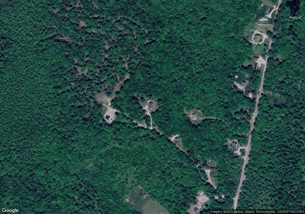
Map
Nearby Homes
- 164 Intervale Rd
- 12 Country Charm Ln
- 10 Cobbs Bridge Rd
- 24 Swamp Rd
- 22 Shaw Rd
- 271 Bennett Rd
- 160 Gloucester Hill Rd
- 10-56 C&E Bowdoin Way
- 155 & 151 Gloucester Hill Rd
- 0018-C Gloucester Hill Rd
- TBD Targett Rd
- 29 Rockwood Dr
- 161 Beaver Dam Dr
- 14 Golden Way
- 200 Woodman Rd
- 423 Sabbathday Rd
- 10 Spring Valley Ln
- 26 Carpenter Rd
- 46-47D Hines Rd & Main St
- 832 Old Danville Rd
- 5 Stone Wall Dr
- 832 Lewiston Rd
- 832 Lewiston Rd
- 834 Lewiston Rd
- L 57B Stone Wall
- Lot A Stone Wall
- Lot A Stonewall Dr
- Lot B Stonewall
- 3 Stone Wall Dr
- 850 Lewiston Rd
- 00 Stone Wall Dr
- 0 Stonewall Dr Unit 648185
- 0 Stonewall Dr Unit 1451337
- 858 Lewiston Rd
- 0 Stone Wall Dr Unit 1371531
- 0 Stone Wall Dr Unit 1441553
- 6-57A Stonewall Dr
- 876 Lewiston Rd
- 2 Stone Wall Dr
- 774 Lewiston Rd