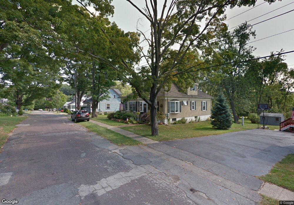
9 Stover Ct Amesbury, MA 01913
Estimated Value: $617,000 - $675,734
3
Beds
2
Baths
1,837
Sq Ft
$353/Sq Ft
Est. Value
About This Home
This home is located at 9 Stover Ct, Amesbury, MA 01913 and is currently estimated at $648,684, approximately $353 per square foot. 9 Stover Ct is a home located in Essex County with nearby schools including Amesbury High School and Amesbury Seventh-Day Adventist School.
Ownership History
Date
Name
Owned For
Owner Type
Purchase Details
Closed on
Aug 24, 2007
Sold by
Vincent David G and Vincent Susan E
Bought by
Carney Beverly W
Current Estimated Value
Purchase Details
Closed on
Aug 15, 1997
Sold by
Vincent Betty Lou
Bought by
Vincent David G and Vincent Susan E
Create a Home Valuation Report for This Property
The Home Valuation Report is an in-depth analysis detailing your home's value as well as a comparison with similar homes in the area
Home Values in the Area
Average Home Value in this Area
Purchase History
| Date | Buyer | Sale Price | Title Company |
|---|---|---|---|
| Carney Beverly W | $335,000 | -- | |
| Vincent David G | $90,000 | -- |
Source: Public Records
Mortgage History
| Date | Status | Borrower | Loan Amount |
|---|---|---|---|
| Previous Owner | Vincent David G | $157,316 | |
| Previous Owner | Vincent David G | $134,000 |
Source: Public Records
Tax History Compared to Growth
Tax History
| Year | Tax Paid | Tax Assessment Tax Assessment Total Assessment is a certain percentage of the fair market value that is determined by local assessors to be the total taxable value of land and additions on the property. | Land | Improvement |
|---|---|---|---|---|
| 2025 | $7,789 | $509,100 | $237,800 | $271,300 |
| 2024 | $7,488 | $478,800 | $224,300 | $254,500 |
| 2023 | $7,345 | $449,500 | $195,000 | $254,500 |
| 2022 | $7,228 | $408,600 | $169,600 | $239,000 |
| 2021 | $6,959 | $381,300 | $135,000 | $246,300 |
| 2020 | $6,254 | $364,000 | $129,800 | $234,200 |
| 2019 | $6,237 | $339,500 | $129,800 | $209,700 |
| 2018 | $6,272 | $330,300 | $123,500 | $206,800 |
| 2017 | $5,724 | $286,900 | $123,500 | $163,400 |
| 2016 | $5,350 | $263,800 | $117,700 | $146,100 |
| 2015 | $5,359 | $260,900 | $117,700 | $143,200 |
| 2014 | $5,016 | $239,200 | $117,700 | $121,500 |
Source: Public Records
Map
Nearby Homes
- 7 Melrose St
- 100 Congress St
- 22 Huntington Ave
- 97 Elm St
- 25 Cedar St Unit 7
- 161 Elm St Unit A
- 5 Richs Ct Unit 3
- 15 Atlantic Ave
- 105 Market St Unit B
- 103 Market St Unit A
- 103 Market St Unit B
- 101 Market St Unit B
- 101 Market St Unit A
- 179 Elm St
- 53 Market St
- 204 Elm St
- 17 Linwood Place
- 57 Clinton St
- 1 Stacey Ln
- 24 Aubin St Unit 2