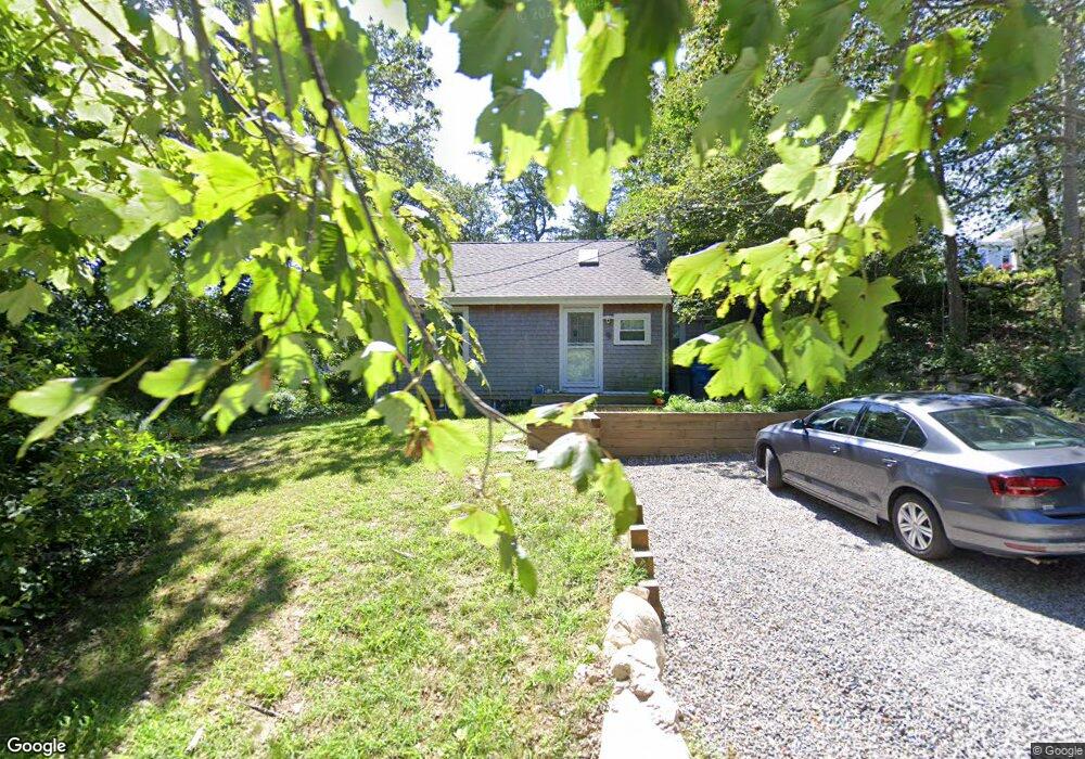
9 Sumner St Woods Hole, MA 02543
Estimated Value: $487,000 - $784,000
1
Bed
1
Bath
694
Sq Ft
$929/Sq Ft
Est. Value
About This Home
This home is located at 9 Sumner St, Woods Hole, MA 02543 and is currently estimated at $644,828, approximately $929 per square foot. 9 Sumner St is a home located in Barnstable County with nearby schools including Mullen-Hall School, Lawrence School, and Morse Pond School.
Ownership History
Date
Name
Owned For
Owner Type
Purchase Details
Closed on
Mar 30, 2012
Sold by
Malmude Anna E
Bought by
Goetting Kathryn G
Current Estimated Value
Purchase Details
Closed on
Jan 21, 2005
Sold by
Malmude Anna E
Bought by
Brolowski Andrew
Home Financials for this Owner
Home Financials are based on the most recent Mortgage that was taken out on this home.
Original Mortgage
$202,500
Interest Rate
5.71%
Mortgage Type
Purchase Money Mortgage
Create a Home Valuation Report for This Property
The Home Valuation Report is an in-depth analysis detailing your home's value as well as a comparison with similar homes in the area
Home Values in the Area
Average Home Value in this Area
Purchase History
| Date | Buyer | Sale Price | Title Company |
|---|---|---|---|
| Goetting Kathryn G | $220,000 | -- | |
| Brolowski Andrew | $225,000 | -- | |
| Brolowski Andrew | $225,000 | -- | |
| Goetting Kathryn G | $220,000 | -- |
Source: Public Records
Mortgage History
| Date | Status | Borrower | Loan Amount |
|---|---|---|---|
| Previous Owner | Brolowski Andrew | $202,500 | |
| Closed | Goetting Kathryn G | -- | |
| Closed | Brolowski Andrew | $0 |
Source: Public Records
Tax History Compared to Growth
Tax History
| Year | Tax Paid | Tax Assessment Tax Assessment Total Assessment is a certain percentage of the fair market value that is determined by local assessors to be the total taxable value of land and additions on the property. | Land | Improvement |
|---|---|---|---|---|
| 2025 | $2,933 | $499,700 | $302,500 | $197,200 |
| 2024 | $2,856 | $454,700 | $275,000 | $179,700 |
| 2023 | $2,969 | $429,000 | $275,000 | $154,000 |
| 2022 | $2,975 | $369,600 | $250,800 | $118,800 |
| 2021 | $2,931 | $344,800 | $239,900 | $104,900 |
| 2020 | $2,775 | $323,000 | $218,100 | $104,900 |
| 2019 | $2,744 | $320,600 | $218,100 | $102,500 |
| 2018 | $2,677 | $311,300 | $218,100 | $93,200 |
| 2017 | $2,630 | $308,300 | $218,100 | $90,200 |
| 2016 | $2,580 | $308,300 | $218,100 | $90,200 |
| 2015 | $2,525 | $308,300 | $218,100 | $90,200 |
| 2014 | $2,531 | $310,500 | $218,100 | $92,400 |
Source: Public Records
Map
Nearby Homes
- 9 Strawberry Hill Rd
- 9 Strawberry Hill Rd
- 533 Woods Hole Rd Unit B101
- 533 Woods Hole Rd Unit D101
- 533 Woods Hole Rd Unit B102
- 533 Woods Hole Rd Unit E202
- 533 Woods Hole Rd Unit E301
- 82 Harbor Hill Rd
- 29 Wilson Rd
- 10 Quissett Ave
- 14 School St
- 76 F r Lillie Rd
- 54 Whitman Rd
- 5 Park Rd
- 87 Oyster Pond Rd
- 251 Woods Hole Rd
- 71 Oyster Pond Rd
- 44 Carey Ln
- 38 Landfall Unit 38