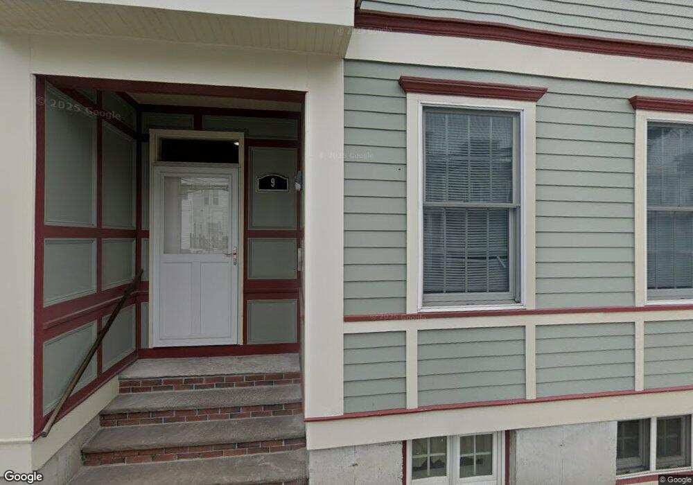
9 Swallow St Boston, MA 02127
South Boston NeighborhoodEstimated Value: $1,656,000 - $1,869,000
6
Beds
3
Baths
2,664
Sq Ft
$650/Sq Ft
Est. Value
About This Home
This home is located at 9 Swallow St, Boston, MA 02127 and is currently estimated at $1,732,333, approximately $650 per square foot. 9 Swallow St is a home located in Suffolk County with nearby schools including South Boston Catholic Academy, Gate of Heaven Elementary School, and St Peter Academy.
Ownership History
Date
Name
Owned For
Owner Type
Purchase Details
Closed on
Jan 14, 2022
Sold by
9 Swallow Street Rt
Bought by
Tuttle Mark E
Current Estimated Value
Purchase Details
Closed on
Aug 4, 2021
Sold by
Tuttle Mark E
Bought by
9 Swallow Street Rt
Purchase Details
Closed on
May 16, 2019
Sold by
Tuttle Mark E
Bought by
9 Swallow Street Rt
Create a Home Valuation Report for This Property
The Home Valuation Report is an in-depth analysis detailing your home's value as well as a comparison with similar homes in the area
Home Values in the Area
Average Home Value in this Area
Purchase History
| Date | Buyer | Sale Price | Title Company |
|---|---|---|---|
| Tuttle Mark E | -- | None Available | |
| 9 Swallow Street Rt | -- | None Available | |
| 9 Swallow Street Rt | -- | -- |
Source: Public Records
Tax History
| Year | Tax Paid | Tax Assessment Tax Assessment Total Assessment is a certain percentage of the fair market value that is determined by local assessors to be the total taxable value of land and additions on the property. | Land | Improvement |
|---|---|---|---|---|
| 2025 | $17,766 | $1,534,200 | $468,300 | $1,065,900 |
| 2024 | $17,911 | $1,643,200 | $353,600 | $1,289,600 |
| 2023 | $16,649 | $1,550,200 | $333,600 | $1,216,600 |
| 2022 | $15,333 | $1,409,300 | $303,300 | $1,106,000 |
| 2021 | $15,037 | $1,409,300 | $303,300 | $1,106,000 |
| 2020 | $13,734 | $1,300,600 | $285,100 | $1,015,500 |
| 2019 | $13,060 | $1,239,100 | $214,200 | $1,024,900 |
| 2018 | $12,372 | $1,180,500 | $214,200 | $966,300 |
| 2017 | $11,901 | $1,123,800 | $214,200 | $909,600 |
| 2016 | $10,749 | $977,200 | $214,200 | $763,000 |
| 2015 | $9,764 | $806,300 | $174,800 | $631,500 |
| 2014 | $8,626 | $685,700 | $174,800 | $510,900 |
Source: Public Records
Map
Nearby Homes
- 729-731 E 5th St
- 722 E 5th St Unit TH
- 755 E 5th St Unit 757
- 722 E 6th St
- 703 E 5th St Unit 1
- 840 E 4th St Unit 1
- 786 E 6th St Unit 788
- 861 E Broadway
- 867 E Broadway
- 838 E Broadway Unit 7
- 885 E Broadway
- 309-311 Emerson St Unit 8
- 901 E Broadway Unit 1
- 309 Emerson St Unit 14
- 655 E 5th St
- 645 E 6th St
- 33 Lennon Ct Unit 39
- 691 E 8th St Unit 1
- 653-R E 3rd St
- 933 E Broadway
- 9 Swallow St Unit 3
- 9 Swallow St Unit 2
- 7 Swallow St
- 7 Swallow St Unit 1
- 7 Swallow St Unit 2
- 5 Swallow St
- 5 Swallow St Unit 3
- 5 Swallow St Unit 2
- 12 Swallow St
- 11 Swallow St Unit 1
- 11A Swallow St Unit 3
- 11A Swallow St Unit 2
- 11A Swallow St Unit 1
- 11 Swallow St
- 11 Swallow St Unit A
- 12 Swallow St Unit 1
- 11 Swallow St Unit 2
- 12 Swallow St Unit 3
- 738 E 6th St
- 738 E 6th St Unit 1
Your Personal Tour Guide
Ask me questions while you tour the home.