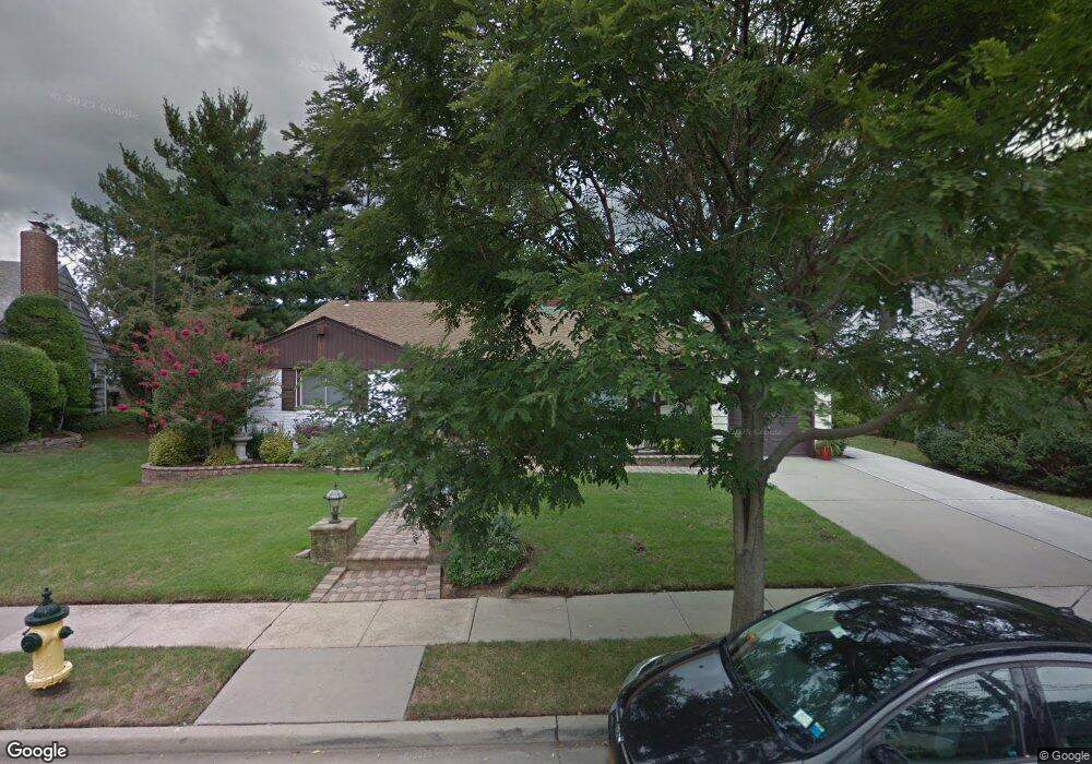
9 Tanglewood Ln Freeport, NY 11520
Estimated Value: $628,476 - $735,000
Studio
2
Baths
1,679
Sq Ft
$406/Sq Ft
Est. Value
About This Home
This home is located at 9 Tanglewood Ln, Freeport, NY 11520 and is currently estimated at $681,738, approximately $406 per square foot. 9 Tanglewood Ln is a home located in Nassau County with nearby schools including Baldwin Senior High School.
Ownership History
Date
Name
Owned For
Owner Type
Purchase Details
Closed on
Jan 26, 1996
Sold by
Cassis Gary and Cassis Margaret
Bought by
Philip Dwight and Philip Sara
Current Estimated Value
Home Financials for this Owner
Home Financials are based on the most recent Mortgage that was taken out on this home.
Original Mortgage
$183,600
Outstanding Balance
$6,061
Interest Rate
7.1%
Estimated Equity
$675,677
Create a Home Valuation Report for This Property
The Home Valuation Report is an in-depth analysis detailing your home's value as well as a comparison with similar homes in the area
Home Values in the Area
Average Home Value in this Area
Purchase History
| Date | Buyer | Sale Price | Title Company |
|---|---|---|---|
| Philip Dwight | $204,000 | -- |
Source: Public Records
Mortgage History
| Date | Status | Borrower | Loan Amount |
|---|---|---|---|
| Open | Philip Dwight | $183,600 |
Source: Public Records
Tax History
| Year | Tax Paid | Tax Assessment Tax Assessment Total Assessment is a certain percentage of the fair market value that is determined by local assessors to be the total taxable value of land and additions on the property. | Land | Improvement |
|---|---|---|---|---|
| 2025 | $9,841 | $438 | $164 | $274 |
| 2024 | $920 | $422 | $158 | $264 |
Source: Public Records
Map
Nearby Homes
- 1 Willowbrook Ln
- 200 Evans Ave
- 139 New York Ave
- 89 Delaware Ave
- 215 N Brookside Ave
- 315 Maryland Ave
- 1850 Voshage St
- 980 Wallace Ave
- 938 Wallace Ave
- 365 Wallace St
- 156 Brookside Ave
- 915 Wallace Ave
- 6 Beverly Pkwy
- 60 Connecticut Ave
- 858 Seaman Ave E
- 1503 Paul St
- 63 Prince Ave
- 883 Mckenna Ave
- 1878 Lake Dr W
- 161 Wallace St
- 11 Tanglewood Ln
- 7 Tanglewood Ln
- 197 Delaware Ave
- 195 Delaware Ave
- 199 Delaware Ave
- 15 Tanglewood Ln
- 4 Tanglewood Ln
- 193 Delaware Ave
- 5 Tanglewood Ln
- 6 Tanglewood Ln
- 328 N Brookside Ave
- 201 Delaware Ave
- 191 Delaware Ave
- 17 Tanglewood Ln
- 320 N Brookside Ave
- 3 Tanglewood Ln
- 198 Delaware Ave
- 196 Delaware Ave
- 16 Willowbrook Ln
Your Personal Tour Guide
Ask me questions while you tour the home.