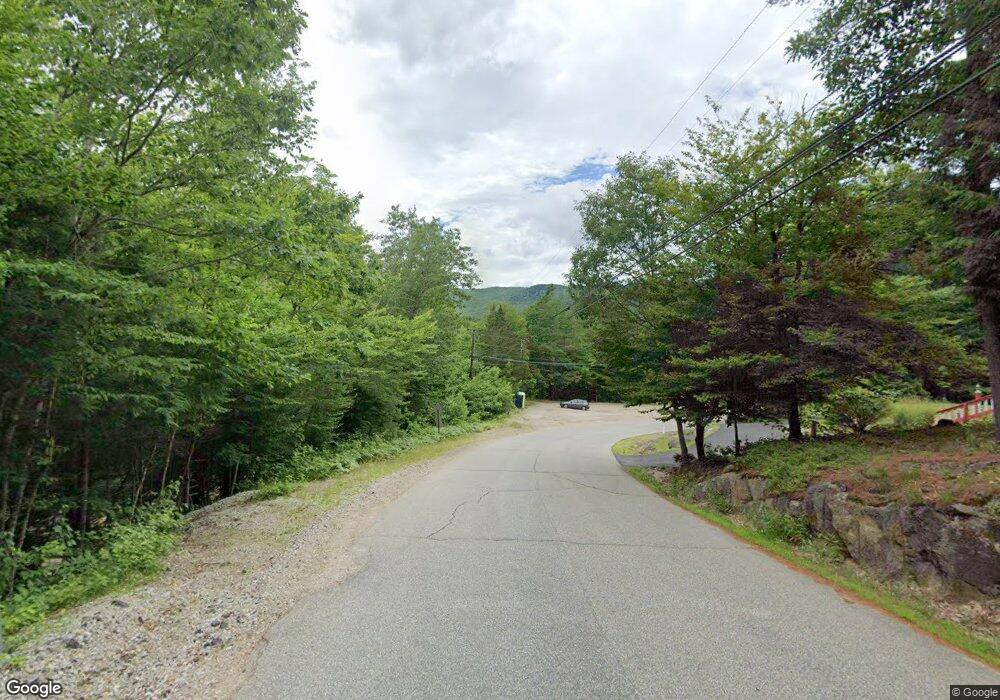
9 Thornton Gore Rd North Woodstock, NH 03262
Estimated Value: $367,000 - $735,000
3
Beds
5
Baths
2,772
Sq Ft
$181/Sq Ft
Est. Value
About This Home
This home is located at 9 Thornton Gore Rd, North Woodstock, NH 03262 and is currently estimated at $501,451, approximately $180 per square foot. 9 Thornton Gore Rd is a home with nearby schools including Lin-Wood Public Elementary School.
Ownership History
Date
Name
Owned For
Owner Type
Purchase Details
Closed on
May 8, 2024
Sold by
Ayotte Donald A
Bought by
Oliver Jeremy B and Oliver Nancy
Current Estimated Value
Purchase Details
Closed on
Jul 27, 2016
Sold by
Gauthier Winifred M
Bought by
Oliver Jeremy B and Oliver Nancy
Home Financials for this Owner
Home Financials are based on the most recent Mortgage that was taken out on this home.
Original Mortgage
$120,000
Interest Rate
3.54%
Mortgage Type
New Conventional
Create a Home Valuation Report for This Property
The Home Valuation Report is an in-depth analysis detailing your home's value as well as a comparison with similar homes in the area
Home Values in the Area
Average Home Value in this Area
Purchase History
| Date | Buyer | Sale Price | Title Company |
|---|---|---|---|
| Oliver Jeremy B | -- | None Available | |
| Oliver Jeremy B | $150,000 | -- | |
| Oliver Jeremy B | $150,000 | -- |
Source: Public Records
Mortgage History
| Date | Status | Borrower | Loan Amount |
|---|---|---|---|
| Previous Owner | Oliver Jeremy B | $120,000 |
Source: Public Records
Tax History Compared to Growth
Tax History
| Year | Tax Paid | Tax Assessment Tax Assessment Total Assessment is a certain percentage of the fair market value that is determined by local assessors to be the total taxable value of land and additions on the property. | Land | Improvement |
|---|---|---|---|---|
| 2024 | $4,851 | $238,710 | $68,900 | $169,810 |
| 2023 | $4,633 | $238,310 | $68,500 | $169,810 |
| 2022 | $4,380 | $238,310 | $68,500 | $169,810 |
| 2021 | $4,528 | $238,310 | $68,500 | $169,810 |
| 2020 | $4,754 | $238,310 | $68,500 | $169,810 |
| 2019 | $7,851 | $217,650 | $63,400 | $154,250 |
| 2018 | $7,683 | $217,650 | $63,400 | $154,250 |
| 2016 | $4,319 | $217,150 | $63,400 | $153,750 |
| 2015 | $4,111 | $217,150 | $63,400 | $153,750 |
| 2014 | $4,180 | $221,260 | $63,400 | $157,860 |
| 2012 | $4,109 | $229,800 | $64,610 | $165,190 |
Source: Public Records
Map
Nearby Homes
- 3-42 Barron Rd
- 20 Condo Rd Unit 3
- 2832 New Hampshire Route 175
- 2832 Nh Route 175
- 1033 Daniel Webster Hwy
- 20 Jack O'Lantern Dr Unit 27
- 15 Tennis Ln Unit B14
- 443 Eastside Rd
- 3481 Us Route 3
- 3447 US Route 3
- 13 Champions Way
- 93 Waterthorn Rd
- Lot 2 Covered Bridge Rd
- 30 Tuxette Rd
- 189 Covered Bridge Rd
- 0 Avery- McGee Rd Unit 6
- 25 Main St
- 151 Millbrook Rd
- 206-011 Lost River Rd
- 56 Kancamagus Hwy
- 1001 Eastside Rd
- 903 Eastside Rd
- 925 Eastside Rd
- 0 New Hampshire 175
- 921 Eastside Rd
- 9 Thornton Gore Rd
- 873 Eastside Rd
- 100 Gore Rd
- 844 Eastside Rd
- 7 Sellingham Hill Rd
- 844 New Hampshire 175
- 939 Eastside Rd
- 57 Sellingham Hill Rd
- 36 Thornton Gore Rd
- 942 Eastside Rd
- 11 Sugar Plum Ln
- 967 Eastside Rd Unit 969
- 18 Sellingham Hill Rd
- 951 Eastside Rd
- 951 Eastside Rd
