9 Toltec Point Rd Moultonborough, NH 03254
Estimated Value: $1,428,779 - $2,813,000
4
Beds
2
Baths
2,592
Sq Ft
$722/Sq Ft
Est. Value
About This Home
This home is located at 9 Toltec Point Rd, Moultonborough, NH 03254 and is currently estimated at $1,871,445, approximately $722 per square foot. 9 Toltec Point Rd is a home with nearby schools including Moultonborough Central School and Moultonborough Academy High School.
Ownership History
Date
Name
Owned For
Owner Type
Purchase Details
Closed on
Jul 14, 2023
Sold by
Massaro Anthony C
Bought by
Anthony C Massaro T C and Anthony Massaro
Current Estimated Value
Purchase Details
Closed on
Mar 30, 1999
Sold by
Bowers Stanley R and Bowers Margery E
Bought by
Dutton William R and Dutton Maria J
Home Financials for this Owner
Home Financials are based on the most recent Mortgage that was taken out on this home.
Original Mortgage
$216,000
Interest Rate
6.78%
Mortgage Type
Purchase Money Mortgage
Create a Home Valuation Report for This Property
The Home Valuation Report is an in-depth analysis detailing your home's value as well as a comparison with similar homes in the area
Home Values in the Area
Average Home Value in this Area
Purchase History
| Date | Buyer | Sale Price | Title Company |
|---|---|---|---|
| Anthony C Massaro T C | -- | None Available | |
| Dutton William R | $251,200 | -- |
Source: Public Records
Mortgage History
| Date | Status | Borrower | Loan Amount |
|---|---|---|---|
| Previous Owner | Dutton William R | $216,000 |
Source: Public Records
Tax History Compared to Growth
Tax History
| Year | Tax Paid | Tax Assessment Tax Assessment Total Assessment is a certain percentage of the fair market value that is determined by local assessors to be the total taxable value of land and additions on the property. | Land | Improvement |
|---|---|---|---|---|
| 2024 | $7,172 | $1,269,300 | $973,700 | $295,600 |
| 2023 | $6,540 | $1,147,400 | $869,400 | $278,000 |
| 2022 | $4,823 | $1,009,000 | $757,500 | $251,500 |
| 2021 | $5,553 | $795,500 | $579,300 | $216,200 |
| 2020 | $5,166 | $724,600 | $521,400 | $203,200 |
| 2019 | $4,878 | $682,200 | $506,700 | $175,500 |
| 2018 | $4,681 | $606,300 | $434,300 | $172,000 |
| 2017 | $4,836 | $588,300 | $434,300 | $154,000 |
| 2016 | $4,866 | $556,700 | $406,300 | $150,400 |
| 2015 | $4,919 | $545,900 | $406,300 | $139,600 |
| 2014 | $4,868 | $549,400 | $425,200 | $124,200 |
| 2013 | $4,774 | $549,400 | $425,200 | $124,200 |
Source: Public Records
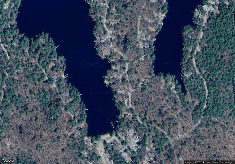
Map
Nearby Homes
- 122 Toltec Point Rd
- 2 Little Badger Island
- 244 Wentworth Shores Rd
- 4 Schneider Rd
- 33 Blackadar Ln
- 28 Moose Walk
- 0 Moose Walk
- 11 Geery Ln
- 16 Myrtle Dr
- 203 Krainewood Dr
- 21 Orton Ln
- 525 Whittier Hwy
- 29 Kona Farm Rd
- 69 Buoniello Rd
- 647 Whittier Hwy
- 41 Saint Gallen St
- 00 Grande St Unit 44
- 22 Sundorf St
- 7 Eden Ln
- 100 Marvin Rd
- 7 Toltec Point Rd
- 15 Toltec Point Rd
- 17 Toltec Point Rd
- 5 Toltec Point Rd
- 132-13-1 Toltec Point Rd
- 8 Toltec Point Rd
- 118 Toltec Point Rd
- 16 Toltec Point Rd
- 116 Toltec Point Rd
- 20 Toltec Point Rd
- 201 Stanyan Rd
- 193 Stanyan Rd
- 114 Toltec Point Rd
- 189 Stanyan Rd
- 22 Toltec Point Rd
- 18 Raouls Cove Rd
- 14 Raoul's Cove Rd
- 113 Toltec Point Rd
- 112 Toltec Point Rd
- 24 Toltec Point Rd