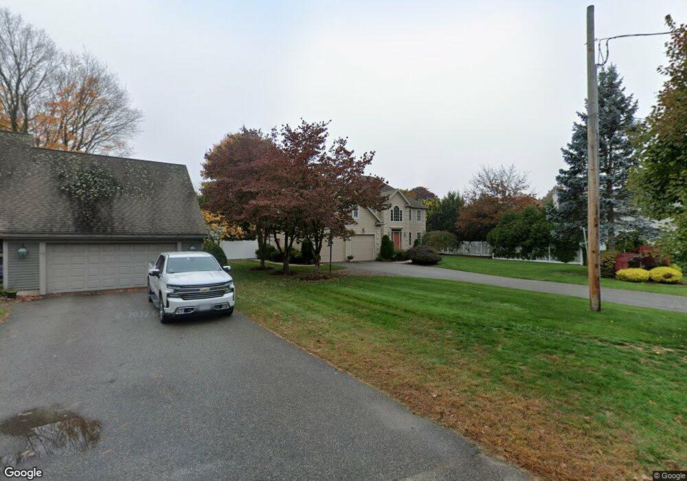
9 Velma Rd Wakefield, MA 01880
West Side NeighborhoodEstimated Value: $1,245,000 - $1,401,000
5
Beds
3
Baths
2,928
Sq Ft
$458/Sq Ft
Est. Value
About This Home
This home is located at 9 Velma Rd, Wakefield, MA 01880 and is currently estimated at $1,341,330, approximately $458 per square foot. 9 Velma Rd is a home located in Middlesex County with nearby schools including Wakefield Memorial High School, St Joseph School, and St. Patrick Elementary School.
Ownership History
Date
Name
Owned For
Owner Type
Purchase Details
Closed on
Jan 21, 2009
Sold by
Saia Anthony
Bought by
Cherilus Gosder
Current Estimated Value
Home Financials for this Owner
Home Financials are based on the most recent Mortgage that was taken out on this home.
Original Mortgage
$660,000
Outstanding Balance
$424,472
Interest Rate
5.51%
Mortgage Type
Purchase Money Mortgage
Estimated Equity
$916,858
Purchase Details
Closed on
Oct 21, 1997
Sold by
Abn Rt and Bova
Bought by
Saia Anthony
Create a Home Valuation Report for This Property
The Home Valuation Report is an in-depth analysis detailing your home's value as well as a comparison with similar homes in the area
Home Values in the Area
Average Home Value in this Area
Purchase History
| Date | Buyer | Sale Price | Title Company |
|---|---|---|---|
| Cherilus Gosder | $825,000 | -- | |
| Saia Anthony | $365,000 | -- |
Source: Public Records
Mortgage History
| Date | Status | Borrower | Loan Amount |
|---|---|---|---|
| Open | Cherilus Gosder | $660,000 | |
| Previous Owner | Saia Anthony | $175,000 | |
| Previous Owner | Saia Anthony | $320,000 |
Source: Public Records
Tax History Compared to Growth
Tax History
| Year | Tax Paid | Tax Assessment Tax Assessment Total Assessment is a certain percentage of the fair market value that is determined by local assessors to be the total taxable value of land and additions on the property. | Land | Improvement |
|---|---|---|---|---|
| 2025 | $15,015 | $1,322,900 | $393,800 | $929,100 |
| 2024 | $14,525 | $1,291,100 | $384,300 | $906,800 |
| 2023 | $14,157 | $1,206,900 | $359,200 | $847,700 |
| 2022 | $14,029 | $1,138,700 | $338,900 | $799,800 |
| 2021 | $11,998 | $942,500 | $280,200 | $662,300 |
| 2020 | $12,036 | $942,500 | $280,200 | $662,300 |
| 2019 | $12,092 | $942,500 | $280,200 | $662,300 |
| 2018 | $11,742 | $906,700 | $269,600 | $637,100 |
| 2017 | $11,696 | $897,600 | $266,900 | $630,700 |
| 2016 | $10,302 | $763,700 | $225,500 | $538,200 |
| 2015 | $9,995 | $741,500 | $218,900 | $522,600 |
| 2014 | $9,476 | $741,500 | $218,900 | $522,600 |
Source: Public Records
Map
Nearby Homes
- 90 Prospect St
- 4 Adams St
- 26 Curve St
- 34 Cedar St
- 40 Friend St
- 10 Converse St
- 47 Emerson St
- 20 N Emerson St Unit 20
- 6 Avon Ct Unit 2
- 46 Church St Unit 2
- 5 Byron St
- 4 Mcdonald Farm Rd
- 97 Macarthur Rd
- 114 Parker Rd
- 10 Wolcott St
- Unit 208 Plan at Wrenly
- Unit 310 Plan at Wrenly
- 62 Foundry St Unit 310
- 62 Foundry St Unit 312
- 62 Foundry St Unit 506
- 5 Velma Rd
- 15 Velma Rd
- 127 Chestnut St
- 10 Velma Rd
- 14 Velma Rd
- 7 Cowdry Ln
- 6 Velma Rd
- 105 Hopkins St Unit 414
- 105 Hopkins St Unit 111
- 105 Hopkins St Unit 307
- 105 Hopkins St Unit 213
- 105 Hopkins St
- 105 Hopkins St Unit 311
- 105 Hopkins St Unit 405
- 105 Hopkins St Unit 412
- 105 Hopkins St Unit 206
- 105 Hopkins St Unit 402
- 105 Hopkins St Unit 114
- 105 Hopkins St Unit 301
- 105 Hopkins St Unit 305