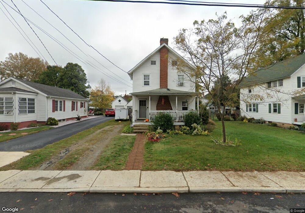
9 W Redding St Middletown, DE 19709
Estimated Value: $274,864 - $330,000
3
Beds
1
Bath
1,232
Sq Ft
$242/Sq Ft
Est. Value
About This Home
This home is located at 9 W Redding St, Middletown, DE 19709 and is currently estimated at $298,466, approximately $242 per square foot. 9 W Redding St is a home located in New Castle County with nearby schools including Silver Lake Elementary School, Everett Meredith Middle School, and Middletown High School.
Ownership History
Date
Name
Owned For
Owner Type
Purchase Details
Closed on
Feb 9, 2004
Sold by
Bp Homes Inc
Bought by
Kuzminski Charles E and Kuzminski Laura P
Current Estimated Value
Home Financials for this Owner
Home Financials are based on the most recent Mortgage that was taken out on this home.
Original Mortgage
$148,410
Outstanding Balance
$77,542
Interest Rate
7.5%
Mortgage Type
Purchase Money Mortgage
Estimated Equity
$220,924
Purchase Details
Closed on
Oct 3, 2003
Sold by
Qi Janice
Bought by
Bp Homes Inc
Home Financials for this Owner
Home Financials are based on the most recent Mortgage that was taken out on this home.
Original Mortgage
$112,500
Interest Rate
6.01%
Mortgage Type
Construction
Purchase Details
Closed on
May 14, 2003
Sold by
Reynolds Qi Zhuang and Reynolds Qi Janice
Bought by
Qi Janice
Create a Home Valuation Report for This Property
The Home Valuation Report is an in-depth analysis detailing your home's value as well as a comparison with similar homes in the area
Home Values in the Area
Average Home Value in this Area
Purchase History
| Date | Buyer | Sale Price | Title Company |
|---|---|---|---|
| Kuzminski Charles E | $169,900 | -- | |
| Bp Homes Inc | $110,000 | -- | |
| Qi Janice | -- | -- |
Source: Public Records
Mortgage History
| Date | Status | Borrower | Loan Amount |
|---|---|---|---|
| Open | Kuzminski Charles E | $148,410 | |
| Previous Owner | Bp Homes Inc | $112,500 |
Source: Public Records
Tax History
| Year | Tax Paid | Tax Assessment Tax Assessment Total Assessment is a certain percentage of the fair market value that is determined by local assessors to be the total taxable value of land and additions on the property. | Land | Improvement |
|---|---|---|---|---|
| 2024 | $104 | $34,500 | $8,900 | $25,600 |
| 2023 | $104 | $34,500 | $8,900 | $25,600 |
| 2022 | $1,061 | $34,500 | $8,900 | $25,600 |
| 2021 | $1,037 | $34,500 | $8,900 | $25,600 |
| 2020 | $1,025 | $34,500 | $8,900 | $25,600 |
| 2019 | $1,054 | $34,500 | $8,900 | $25,600 |
| 2018 | $909 | $34,500 | $8,900 | $25,600 |
| 2017 | $875 | $34,500 | $8,900 | $25,600 |
| 2016 | $786 | $34,500 | $8,900 | $25,600 |
| 2015 | $864 | $34,500 | $8,900 | $25,600 |
| 2014 | $862 | $34,500 | $8,900 | $25,600 |
Source: Public Records
Map
Nearby Homes
- 12 E Cochran St
- 248 Emily Way
- 14 W Lake St
- 113 Crawford St
- Serenade Plan at Crossings at Silver Lake - Townhomes
- 8 Redding Cir
- 809 S Scott St
- 236 E Main St
- 908 S Cass St
- 204 Beckington Ct
- 25 Franklin Dr
- 40 S Cummings Dr
- 659 Warren Dr
- 511 Sally Ln
- 29 W Reybold Dr
- 306 E Harvest Ln
- 149 Gazebo Ln
- 148 Gazebo Ln
- 57 W Sarazen Dr
- 1036 Applecross Dr