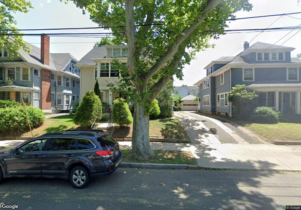
9 W Rock Ave Unit 2 New Haven, CT 06515
Westville NeighborhoodEstimated Value: $569,000 - $826,000
2
Beds
1
Bath
1,200
Sq Ft
$550/Sq Ft
Est. Value
About This Home
This home is located at 9 W Rock Ave Unit 2, New Haven, CT 06515 and is currently estimated at $659,519, approximately $549 per square foot. 9 W Rock Ave Unit 2 is a home located in New Haven County with nearby schools including Elm City Montessori School and Hopkins School.
Ownership History
Date
Name
Owned For
Owner Type
Purchase Details
Closed on
Sep 9, 2020
Sold by
Rivers-Moore Sherry
Bought by
Moore Kelly
Current Estimated Value
Home Financials for this Owner
Home Financials are based on the most recent Mortgage that was taken out on this home.
Original Mortgage
$280,000
Outstanding Balance
$248,481
Interest Rate
2.9%
Mortgage Type
New Conventional
Estimated Equity
$411,038
Purchase Details
Closed on
Aug 17, 1994
Sold by
Dostilio Frank J and Dostilio Robert J
Bought by
Moore Gerald R and Rivers Moore Sherry
Home Financials for this Owner
Home Financials are based on the most recent Mortgage that was taken out on this home.
Original Mortgage
$108,000
Interest Rate
4.75%
Mortgage Type
Unknown
Create a Home Valuation Report for This Property
The Home Valuation Report is an in-depth analysis detailing your home's value as well as a comparison with similar homes in the area
Home Values in the Area
Average Home Value in this Area
Purchase History
| Date | Buyer | Sale Price | Title Company |
|---|---|---|---|
| Moore Kelly | $350,000 | None Available | |
| Moore Gerald R | $135,000 | -- |
Source: Public Records
Mortgage History
| Date | Status | Borrower | Loan Amount |
|---|---|---|---|
| Open | Moore Kelly | $280,000 | |
| Previous Owner | Moore Gerald R | $108,000 | |
| Closed | Moore Gerald R | $27,000 |
Source: Public Records
Tax History Compared to Growth
Tax History
| Year | Tax Paid | Tax Assessment Tax Assessment Total Assessment is a certain percentage of the fair market value that is determined by local assessors to be the total taxable value of land and additions on the property. | Land | Improvement |
|---|---|---|---|---|
| 2025 | $10,180 | $258,370 | $73,080 | $185,290 |
| 2024 | $9,947 | $258,370 | $73,080 | $185,290 |
| 2023 | $9,611 | $258,370 | $73,080 | $185,290 |
| 2022 | $10,270 | $258,370 | $73,080 | $185,290 |
| 2021 | $7,710 | $175,700 | $56,980 | $118,720 |
| 2020 | $7,710 | $175,700 | $56,980 | $118,720 |
| 2019 | $7,552 | $175,700 | $56,980 | $118,720 |
| 2018 | $7,552 | $175,700 | $56,980 | $118,720 |
| 2017 | $6,796 | $175,700 | $56,980 | $118,720 |
| 2016 | $6,954 | $167,370 | $67,480 | $99,890 |
| 2015 | $6,954 | $167,370 | $67,480 | $99,890 |
| 2014 | $6,954 | $167,370 | $67,480 | $99,890 |
Source: Public Records
Map
Nearby Homes
- 1975 Chapel St
- 119 Westwood Rd
- 55 Marvel Rd
- 206 W Rock Ave
- 96 Hubinger St
- 699 Forest Rd
- 907 Elm St
- 55 Irving St
- 868 Elm St
- 30 Ellsworth Ave
- 865 Elm St
- 168 Ellsworth Ave
- 1599 Chapel St
- 126 Willard St
- 595 Central Ave
- 690 Forest Rd Unit 702
- 690 Forest Rd Unit 392
- 690 Forest Rd Unit 511
- 122 Derby Ave
- 800 George St