Estimated Value: $273,000 - $305,000
2
Beds
2
Baths
730
Sq Ft
$393/Sq Ft
Est. Value
About This Home
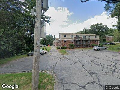
This home is located at 9 Wampus Ave Unit 1, Acton, MA 01720 and is currently estimated at $287,021, approximately $393 per square foot. 9 Wampus Ave Unit 1 is a home located in Middlesex County with nearby schools including Acton-Boxborough Regional High School and Oak Meadow Montessori School.
Ownership History
Date
Name
Owned For
Owner Type
Purchase Details
Closed on
Nov 23, 2020
Sold by
Lessard Robert M
Bought by
Lessard Robert M and Caffarella James W
Current Estimated Value
Purchase Details
Closed on
Jul 27, 1992
Sold by
Federal Home Loan Mortgage Corporation
Bought by
Lessard Robert M
Home Financials for this Owner
Home Financials are based on the most recent Mortgage that was taken out on this home.
Original Mortgage
$22,000
Interest Rate
8.49%
Mortgage Type
Purchase Money Mortgage
Create a Home Valuation Report for This Property
The Home Valuation Report is an in-depth analysis detailing your home's value as well as a comparison with similar homes in the area
Home Values in the Area
Average Home Value in this Area
Purchase History
| Date | Buyer | Sale Price | Title Company |
|---|---|---|---|
| Lessard Robert M | -- | None Available | |
| Lessard Robert M | $27,500 | -- |
Source: Public Records
Mortgage History
| Date | Status | Borrower | Loan Amount |
|---|---|---|---|
| Previous Owner | Lessard Robert M | $22,000 |
Source: Public Records
Tax History Compared to Growth
Tax History
| Year | Tax Paid | Tax Assessment Tax Assessment Total Assessment is a certain percentage of the fair market value that is determined by local assessors to be the total taxable value of land and additions on the property. | Land | Improvement |
|---|---|---|---|---|
| 2025 | $3,999 | $233,200 | $0 | $233,200 |
| 2024 | $3,557 | $213,400 | $0 | $213,400 |
| 2023 | $3,120 | $177,700 | $0 | $177,700 |
| 2022 | $3,295 | $169,400 | $0 | $169,400 |
| 2021 | $3,049 | $150,700 | $0 | $150,700 |
| 2020 | $2,801 | $145,600 | $0 | $145,600 |
| 2019 | $2,588 | $133,600 | $0 | $133,600 |
| 2018 | $2,188 | $112,900 | $0 | $112,900 |
| 2017 | $1,916 | $100,500 | $0 | $100,500 |
| 2016 | $2,144 | $111,500 | $0 | $111,500 |
| 2015 | $1,808 | $94,900 | $0 | $94,900 |
| 2014 | $1,774 | $91,200 | $0 | $91,200 |
Source: Public Records
Map
Nearby Homes
- 17 Davis Rd Unit A 11
- 386 Great Rd Unit A8
- 17 Wyndcliff Dr
- 16 Greenside Ln Unit 16
- 403 Great Rd Unit 1
- 529 Acorn Park Dr
- 20 Mirasol Cir Unit 20
- 20 Mirasol Cir
- 166 Skyline Dr Unit 166
- 484 Great Rd
- 484 Great Rd
- 209 Great Rd Unit C1
- 124 Nonset Path
- 709 Main St
- 271 Brown Bear Crossing
- 484 Great Road -6
- 484 Great Road -4
- 484 Great Road -3
- 243 Pinecone Strand Unit 243
- 142 Pope Rd
- 11 Wampus Ave Unit 18
- 11 Wampus Ave Unit 17
- 11 Wampus Ave Unit 16
- 11 Wampus Ave Unit 15
- 11 Wampus Ave Unit 14
- 11 Wampus Ave Unit 13
- 11 Wampus Ave Unit 12
- 11 Wampus Ave
- 11 Wampus Ave Unit 10
- 11 Wampus Ave Unit 16A,11
- 9 Wampus Ave Unit 9
- 9 Wampus Ave
- 9 Wampus Ave Unit 8
- 9 Wampus Ave Unit 7
- 9 Wampus Ave Unit 6
- 9 Wampus Ave Unit 5
- 9 Wampus Ave Unit 4
- 9 Wampus Ave Unit 3
- 9 Wampus Ave Unit 2
- 9 Wampus Ave Unit 1