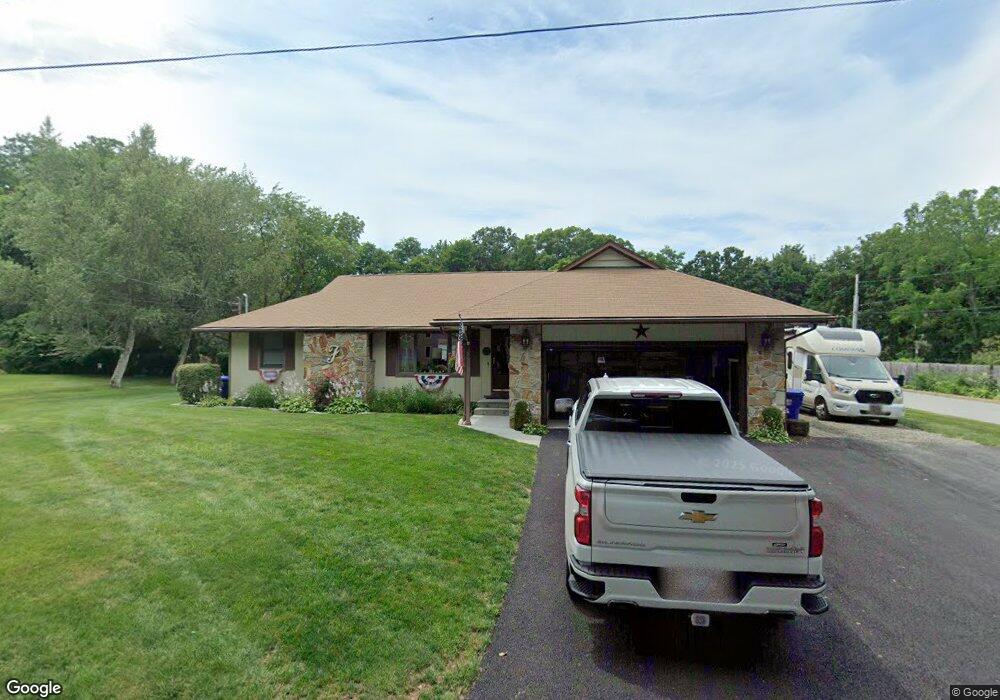
9 Warren Blvd Warren, RI 02885
South Warren NeighborhoodEstimated Value: $570,000 - $713,000
3
Beds
3
Baths
1,728
Sq Ft
$359/Sq Ft
Est. Value
About This Home
This home is located at 9 Warren Blvd, Warren, RI 02885 and is currently estimated at $620,477, approximately $359 per square foot. 9 Warren Blvd is a home located in Bristol County with nearby schools including Mt. Hope High School, Highlander Charter Middle and High School, and East Bay Career Academy.
Ownership History
Date
Name
Owned For
Owner Type
Purchase Details
Closed on
Sep 28, 2017
Sold by
Fitting Donald A and Fitting Barbara B
Bought by
Fitting George H
Current Estimated Value
Purchase Details
Closed on
Feb 4, 2013
Sold by
Fitting George H
Bought by
Fitting Donald A and Fitting Barbara B
Create a Home Valuation Report for This Property
The Home Valuation Report is an in-depth analysis detailing your home's value as well as a comparison with similar homes in the area
Home Values in the Area
Average Home Value in this Area
Purchase History
| Date | Buyer | Sale Price | Title Company |
|---|---|---|---|
| Fitting George H | -- | -- | |
| Fitting Donald A | -- | -- | |
| Fitting George H | -- | -- |
Source: Public Records
Mortgage History
| Date | Status | Borrower | Loan Amount |
|---|---|---|---|
| Previous Owner | Fitting George H | $165,000 | |
| Previous Owner | Fitting George H | $165,000 | |
| Previous Owner | Fitting George H | $150,000 |
Source: Public Records
Tax History Compared to Growth
Tax History
| Year | Tax Paid | Tax Assessment Tax Assessment Total Assessment is a certain percentage of the fair market value that is determined by local assessors to be the total taxable value of land and additions on the property. | Land | Improvement |
|---|---|---|---|---|
| 2025 | $6,650 | $446,600 | $160,700 | $285,900 |
| 2024 | $6,449 | $446,600 | $160,700 | $285,900 |
| 2023 | $6,101 | $446,600 | $160,700 | $285,900 |
| 2022 | $5,652 | $313,800 | $138,700 | $175,100 |
| 2021 | $5,561 | $313,800 | $138,700 | $175,100 |
| 2020 | $5,448 | $313,800 | $138,700 | $175,100 |
| 2019 | $5,586 | $292,300 | $110,700 | $181,600 |
| 2018 | $5,513 | $292,300 | $110,700 | $181,600 |
| 2017 | $5,498 | $292,300 | $110,700 | $181,600 |
| 2016 | $5,308 | $265,800 | $90,700 | $175,100 |
| 2015 | $5,282 | $264,500 | $90,700 | $173,800 |
| 2014 | $5,309 | $264,500 | $90,700 | $173,800 |
Source: Public Records
Map
Nearby Homes
- 85 Canario Dr
- 35 Bagy Wrinkle Cove
- 0 Overhill Rd Unit 1382248
- 69 Cutler St
- 53 Bagy Wrinkle Cove
- 51 Cutler St
- 2 Bagy Wrinkle Cove
- 39 Broad St
- 4 Read Ave
- 115 Market St
- 397 Child St
- 21 Federal St
- 27 Barney St
- 41 N Cornell Ave
- 39 N Cornell Ave
- 94 Windward Ln
- 7 Broadview Ave
- 210 Metacom Ave
- 33 Melrose Ave
- 510 Child St Unit 303A