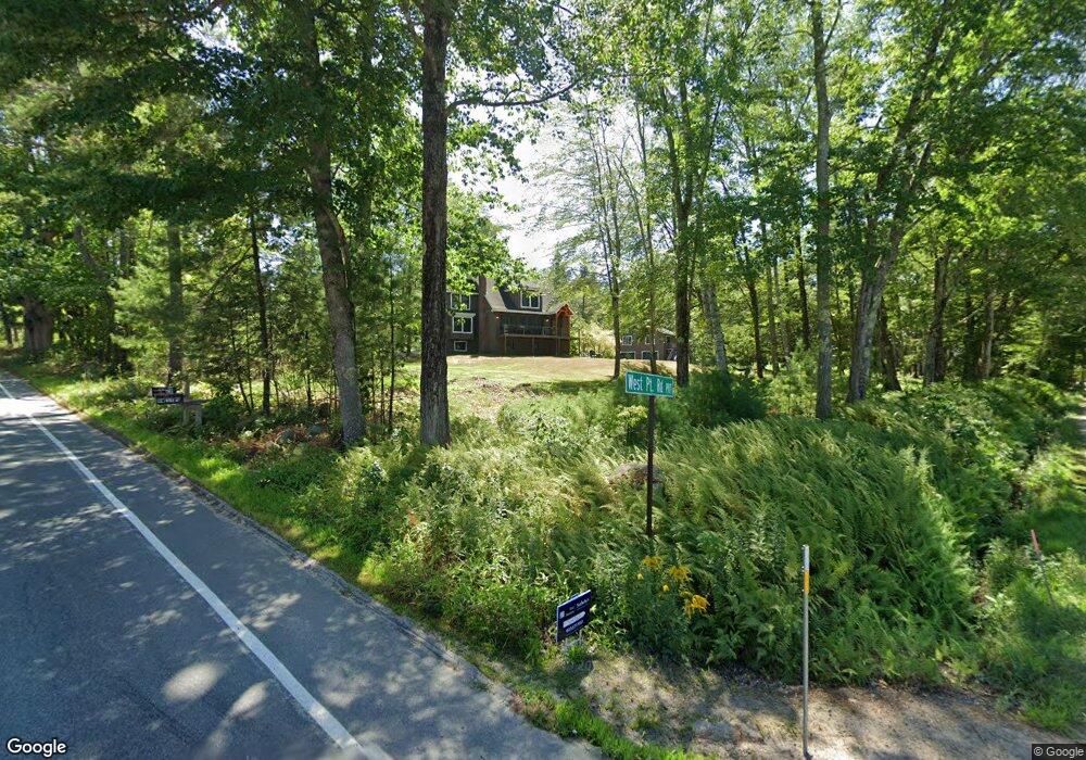
9 West Point Rd Moultonborough, NH 03254
Estimated Value: $726,168 - $2,746,000
3
Beds
3
Baths
1,764
Sq Ft
$984/Sq Ft
Est. Value
About This Home
This home is located at 9 West Point Rd, Moultonborough, NH 03254 and is currently estimated at $1,736,084, approximately $984 per square foot. 9 West Point Rd is a home located in Carroll County with nearby schools including Moultonborough Central School and Moultonborough Academy High School.
Create a Home Valuation Report for This Property
The Home Valuation Report is an in-depth analysis detailing your home's value as well as a comparison with similar homes in the area
Home Values in the Area
Average Home Value in this Area
Tax History Compared to Growth
Map
Nearby Homes
- 62 W Point Rd
- 00 Moultonboro Neck Rd Unit 2
- 00 Moultonboro Neck Rd
- 10 Woodridge Rd
- 16 Long Island Rd
- 167 Long Island Rd
- 109 Leaward Shores Rd
- 130 W Point Rd
- 42 High Ridge Rd
- 19 Alderberry Ln
- 00 Beede Rd
- 65 Beede Rd
- 00 Rivers Rd
- 35 Echo Landing Rd
- 9 Starboard Ln Unit 1
- 11 Portside Dr Unit 4
- 47 Pot O Beans Rd
- 23 Harbourside Dr
- 484 Long Island Rd
- 14 Island View Dr
- 55 Long Island Rd
- 96 Long Island Rd
- 7 Tall Pine Rd
- 6 Woodrin Rd
- 95 Long Island Rd
- 78 Long Island Rd
- 79 Long Island Rd
- 11 Tall Pine Rd
- 75 Long Island Rd Unit 75
- 98 Long Island Rd
- 5 Leaward Shores Rd
- 97 Long Island Rd
- 14 Woodrin Rd
- 4 Hillcrest Rd
- 15 Leeward Shores Rd
- 14 W Point Rd
- 29 West Point Rd
- 19 Tall Pine Rd
- 99 Long Island Rd
- 23 Woodrin Rd