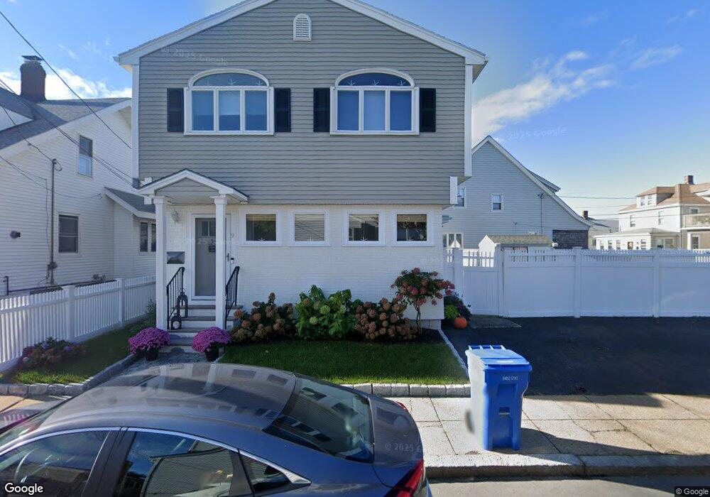
9 Whittier St Unit 1 Winthrop, MA 02152
Point Shirley NeighborhoodEstimated Value: $684,000 - $752,000
3
Beds
3
Baths
1,573
Sq Ft
$454/Sq Ft
Est. Value
About This Home
This home is located at 9 Whittier St Unit 1, Winthrop, MA 02152 and is currently estimated at $714,573, approximately $454 per square foot. 9 Whittier St Unit 1 is a home located in Suffolk County with nearby schools including William P. Gorman/Fort Banks Elementary School, Arthur T. Cummings Elementary School, and Winthrop Middle School.
Ownership History
Date
Name
Owned For
Owner Type
Purchase Details
Closed on
Sep 6, 2019
Sold by
Cassetta Steven and Cassetta Gina
Bought by
Streeter Laurie A
Current Estimated Value
Purchase Details
Closed on
Sep 28, 2001
Sold by
Crombie Michael L
Bought by
Cassetta Steven
Home Financials for this Owner
Home Financials are based on the most recent Mortgage that was taken out on this home.
Original Mortgage
$271,000
Interest Rate
6.91%
Mortgage Type
Purchase Money Mortgage
Purchase Details
Closed on
Jun 29, 1995
Sold by
Johnson Rt
Bought by
Crombie Michael L and Guarino Sara M
Home Financials for this Owner
Home Financials are based on the most recent Mortgage that was taken out on this home.
Original Mortgage
$104,500
Interest Rate
7.8%
Mortgage Type
Purchase Money Mortgage
Create a Home Valuation Report for This Property
The Home Valuation Report is an in-depth analysis detailing your home's value as well as a comparison with similar homes in the area
Home Values in the Area
Average Home Value in this Area
Purchase History
| Date | Buyer | Sale Price | Title Company |
|---|---|---|---|
| Streeter Laurie A | $510,000 | -- | |
| Cassetta Steven | $371,000 | -- | |
| Crombie Michael L | $110,000 | -- |
Source: Public Records
Mortgage History
| Date | Status | Borrower | Loan Amount |
|---|---|---|---|
| Previous Owner | Cassetta Steven | $271,000 | |
| Previous Owner | Crombie Michael L | $104,500 |
Source: Public Records
Tax History
| Year | Tax Paid | Tax Assessment Tax Assessment Total Assessment is a certain percentage of the fair market value that is determined by local assessors to be the total taxable value of land and additions on the property. | Land | Improvement |
|---|---|---|---|---|
| 2025 | $6,881 | $666,800 | $343,400 | $323,400 |
| 2024 | $6,957 | $667,700 | $330,000 | $337,700 |
| 2023 | $6,444 | $602,200 | $290,700 | $311,500 |
| 2022 | $6,225 | $529,300 | $259,600 | $269,700 |
| 2021 | $6,195 | $488,600 | $231,800 | $256,800 |
| 2020 | $6,159 | $488,000 | $231,800 | $256,200 |
| 2019 | $5,723 | $434,200 | $213,600 | $220,600 |
| 2018 | $5,622 | $397,000 | $187,000 | $210,000 |
| 2017 | $5,242 | $363,800 | $169,000 | $194,800 |
| 2016 | $5,184 | $337,300 | $147,000 | $190,300 |
| 2015 | $4,711 | $328,500 | $142,700 | $185,800 |
| 2014 | $4,727 | $303,400 | $132,700 | $170,700 |
Source: Public Records
Map
Nearby Homes
- 1080 Shirley St
- 129 Strandway
- 1001 Shirley St Unit 5
- 1001 Shirley St Unit 1
- 1001 Shirley St Unit 3
- 86 Undine Ave
- 86L Undine Ave
- 960 Shirley St
- 876 Shirley St Unit 1
- 51 Harbor View Ave Unit 2
- 51 Harbor View Ave Unit 1
- 51 Harbor View Ave Unit 3
- 600 Shirley St Unit 3
- 600 Shirley St Unit 1
- 600 Shirley St Unit 4
- 600 Shirley St Unit 15
- 19 Moore St
- 10-12 Charles St
- 247 Washington Ave Unit 9
- 247 Washington Ave Unit 10
Your Personal Tour Guide
Ask me questions while you tour the home.