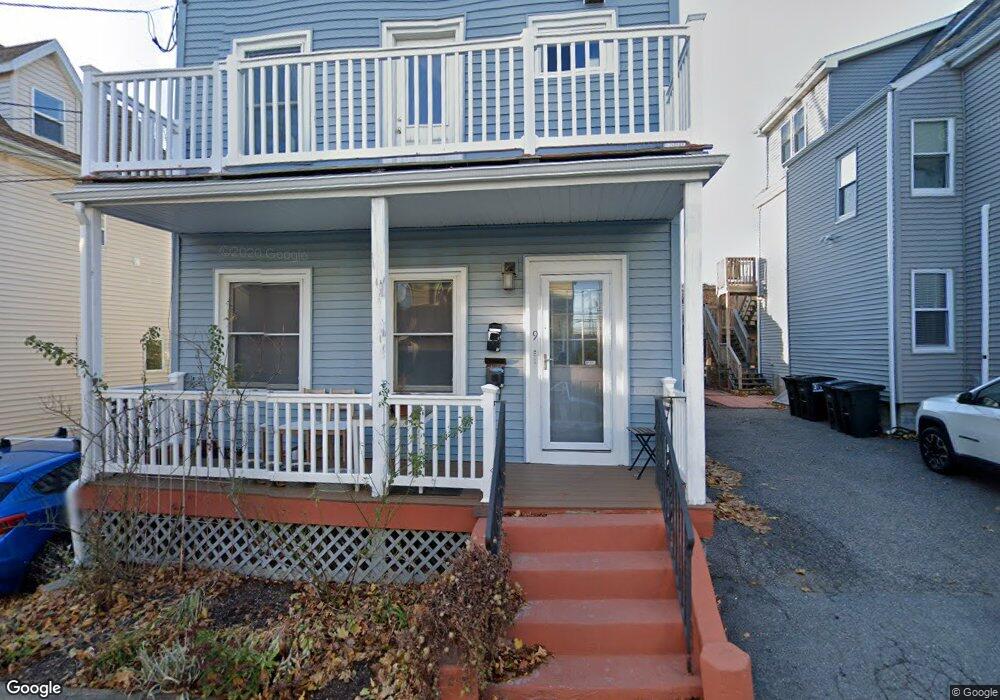
9 Wilson Ave Unit 2 Somerville, MA 02145
Magoun Square NeighborhoodEstimated Value: $929,000 - $1,144,000
3
Beds
1
Bath
2,226
Sq Ft
$461/Sq Ft
Est. Value
About This Home
This home is located at 9 Wilson Ave Unit 2, Somerville, MA 02145 and is currently estimated at $1,025,561, approximately $460 per square foot. 9 Wilson Ave Unit 2 is a home located in Middlesex County with nearby schools including Somerville High School, Torit Montessori School, and Advent School.
Ownership History
Date
Name
Owned For
Owner Type
Purchase Details
Closed on
Jun 24, 2010
Sold by
Siggens Maria C and Siggens Dianne
Bought by
Dines Rachel A and Morgan Tucker S
Current Estimated Value
Home Financials for this Owner
Home Financials are based on the most recent Mortgage that was taken out on this home.
Original Mortgage
$384,817
Outstanding Balance
$256,637
Interest Rate
4.87%
Mortgage Type
FHA
Estimated Equity
$768,924
Create a Home Valuation Report for This Property
The Home Valuation Report is an in-depth analysis detailing your home's value as well as a comparison with similar homes in the area
Home Values in the Area
Average Home Value in this Area
Purchase History
| Date | Buyer | Sale Price | Title Company |
|---|---|---|---|
| Dines Rachel A | $390,000 | -- |
Source: Public Records
Mortgage History
| Date | Status | Borrower | Loan Amount |
|---|---|---|---|
| Open | Dines Rachel A | $384,817 |
Source: Public Records
Tax History
| Year | Tax Paid | Tax Assessment Tax Assessment Total Assessment is a certain percentage of the fair market value that is determined by local assessors to be the total taxable value of land and additions on the property. | Land | Improvement |
|---|---|---|---|---|
| 2025 | $9,115 | $835,500 | $363,200 | $472,300 |
| 2024 | $8,504 | $808,400 | $363,200 | $445,200 |
| 2023 | $8,279 | $800,700 | $363,200 | $437,500 |
| 2022 | $7,739 | $760,200 | $345,900 | $414,300 |
| 2021 | $7,262 | $712,700 | $329,400 | $383,300 |
| 2020 | $6,848 | $678,700 | $316,700 | $362,000 |
| 2019 | $6,476 | $601,900 | $268,900 | $333,000 |
| 2018 | $6,237 | $551,500 | $259,300 | $292,200 |
| 2017 | $5,951 | $509,900 | $241,800 | $268,100 |
| 2016 | $5,855 | $467,300 | $209,100 | $258,200 |
| 2015 | $5,285 | $419,100 | $186,400 | $232,700 |
Source: Public Records
Map
Nearby Homes
- 288 Cedar St
- 595 Broadway Unit 302
- 595 Broadway Unit 102
- 595 Broadway Unit 202
- 595 Broadway Unit 101
- 595 Broadway Unit 301
- 32 Richardson St
- 3 Vinal St
- 13 Warwick St
- 474 Broadway Unit 26
- 496 Medford St
- 16 Rogers Ave
- 0 Norwood Ave
- 9 Norwood Ave
- 552 Main St
- 84 Partridge Ave
- 167 Albion St
- 156 Albion St Unit 1
- 7 Bennett St Unit 1
- 228 Harvard St
- 9 Wilson Ave
- 5 Wilson Ave
- 13 Wilson Ave
- 10 Wilson Ave
- 15 Wilson Ave
- 15 Wilson Ave Unit 2
- 15 Wilson Ave Unit 1
- 6 Wilson Ave
- 6 Wilson Ave Unit 1
- 600 Broadway Unit C
- 600 Broadway Unit B
- 600 Broadway Unit A
- 600 Broadway Unit 1,600
- 600 Broadway Unit 3
- 600 Broadway
- 600 Broadway Unit C
- 600 Broadway
- 600 Broadway Unit 1
- 14 Wilson Ave Unit 1
- 14 Wilson Ave Unit 2
Your Personal Tour Guide
Ask me questions while you tour the home.