9 Worcester Island Rd Wolfeboro, NH 03894
Estimated Value: $2,046,000 - $2,362,000
4
Beds
3
Baths
2,374
Sq Ft
$914/Sq Ft
Est. Value
About This Home
This home is located at 9 Worcester Island Rd, Wolfeboro, NH 03894 and is currently estimated at $2,169,582, approximately $913 per square foot. 9 Worcester Island Rd is a home located in Carroll County with nearby schools including Crescent Lake School, Carpenter Elementary School, and Kingswood Regional Middle School.
Ownership History
Date
Name
Owned For
Owner Type
Purchase Details
Closed on
Feb 28, 2011
Sold by
Frederic W Howe T
Bought by
Charnecki Thomas E and Charnecki Elizabeth K
Current Estimated Value
Home Financials for this Owner
Home Financials are based on the most recent Mortgage that was taken out on this home.
Original Mortgage
$417,000
Interest Rate
4.75%
Mortgage Type
Purchase Money Mortgage
Create a Home Valuation Report for This Property
The Home Valuation Report is an in-depth analysis detailing your home's value as well as a comparison with similar homes in the area
Home Values in the Area
Average Home Value in this Area
Purchase History
| Date | Buyer | Sale Price | Title Company |
|---|---|---|---|
| Charnecki Thomas E | $795,000 | -- |
Source: Public Records
Mortgage History
| Date | Status | Borrower | Loan Amount |
|---|---|---|---|
| Open | Charnecki Thomas E | $410,000 | |
| Closed | Charnecki Thomas E | $417,000 |
Source: Public Records
Tax History Compared to Growth
Tax History
| Year | Tax Paid | Tax Assessment Tax Assessment Total Assessment is a certain percentage of the fair market value that is determined by local assessors to be the total taxable value of land and additions on the property. | Land | Improvement |
|---|---|---|---|---|
| 2024 | $20,435 | $1,285,200 | $1,056,100 | $229,100 |
| 2023 | $18,809 | $1,280,400 | $1,056,100 | $224,300 |
| 2022 | $16,927 | $1,280,400 | $1,056,100 | $224,300 |
| 2021 | $17,503 | $1,280,400 | $1,056,100 | $224,300 |
| 2020 | $16,671 | $1,281,400 | $1,056,100 | $225,300 |
| 2019 | $17,663 | $1,115,100 | $943,600 | $171,500 |
| 2018 | $17,571 | $1,112,100 | $943,600 | $168,500 |
| 2017 | $16,659 | $1,112,100 | $943,600 | $168,500 |
| 2016 | $16,269 | $1,112,000 | $943,600 | $168,400 |
| 2015 | $15,418 | $1,105,200 | $943,600 | $161,600 |
| 2014 | $12,091 | $929,400 | $707,300 | $222,100 |
| 2013 | $11,411 | $889,400 | $707,300 | $182,100 |
Source: Public Records
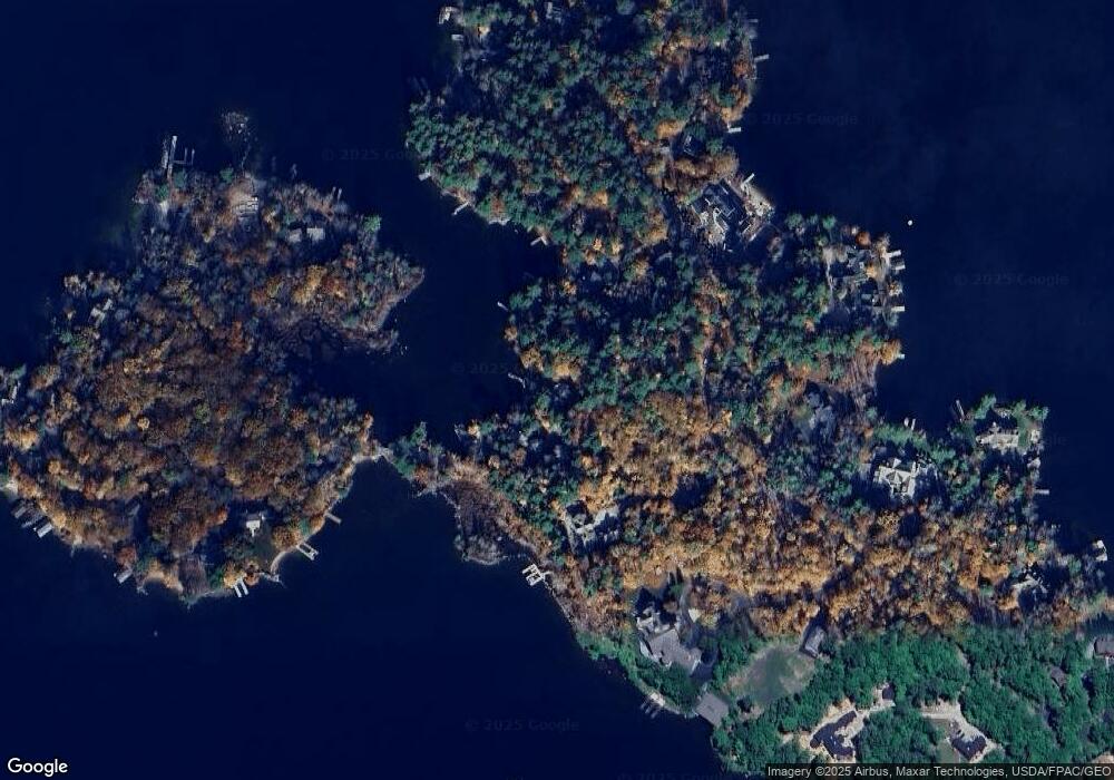
Map
Nearby Homes
- 5 Delings Cove Rd
- 87 Timberlane P
- 45 Winnipesaukee Dr
- 163 Clark Rd
- 337 S Main St Unit Interval week 4 Janu
- 39 Winnipesaukee Dr
- 18-8 Winnipesaukee Dr
- 267-23 Winnipesaukee Dr
- 00 Winnipesaukee Dr Unit 10
- 21 Goodrich Rd
- 79 S Main St
- 87 Middleton Rd
- 120 Big Barndoor Island
- 106 Middleton Rd
- 116 Middleton Rd
- 104 Hopewell Rd
- 25 Clay Point Rd
- 61 Lehner St
- 0 Long Stack Ln
- 19 Worcester Island Rd
- 11 Worcester Island Rd
- 184 Springfield Point Rd
- 4 Worcester Island Rd
- 182 Springfield Point Rd
- 186 Springfield Point Rd
- 114 Springfield Point Rd
- 6 Fishermens Cove
- 159 Springfield Point Rd
- 179 Springfield Point Rd
- 144 Springfield Point Rd
- 42 Worcester Island Rd
- 193 Springfield Point Rd
- 177 Springfield Point Rd
- 19 Viewpoint Dr
- 147 Springfield Point Rd
- 175 Springfield Point Rd
- 212 Springfield Point Rd
- 50 Worcester Island Rd
- 216 Springfield Point Rd