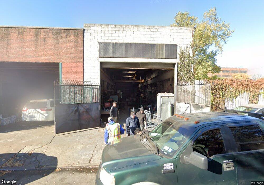
90 Alabama Ave Brooklyn, NY 11207
Brownsville NeighborhoodEstimated Value: $242,640
--
Bed
--
Bath
2,500
Sq Ft
$97/Sq Ft
Est. Value
About This Home
This home is located at 90 Alabama Ave, Brooklyn, NY 11207 and is currently estimated at $242,640, approximately $97 per square foot. 90 Alabama Ave is a home located in Kings County with nearby schools including J.H.S 292 Margaret S. Douglas, Uncommon Schools Leadership Preparatory Ocean Hill Charter School, and Trey Whitfield School.
Ownership History
Date
Name
Owned For
Owner Type
Purchase Details
Closed on
May 17, 2013
Sold by
Alcobi Roni
Bought by
144-02 Llc
Current Estimated Value
Purchase Details
Closed on
May 12, 2011
Sold by
Pascualini Oscar
Bought by
Alcobi Roni
Purchase Details
Closed on
Apr 16, 2004
Sold by
Horn Associates Realty Corp
Bought by
Pascualini Oscar and Salcedo Ulises
Purchase Details
Closed on
Mar 12, 2002
Sold by
Polinsky Gilbert Refere
Bought by
Horn Associates Realty C
Create a Home Valuation Report for This Property
The Home Valuation Report is an in-depth analysis detailing your home's value as well as a comparison with similar homes in the area
Home Values in the Area
Average Home Value in this Area
Purchase History
| Date | Buyer | Sale Price | Title Company |
|---|---|---|---|
| 144-02 Llc | -- | -- | |
| Alcobi Roni | -- | -- | |
| Pascualini Oscar | $120,000 | -- | |
| Horn Associates Realty C | -- | -- |
Source: Public Records
Tax History Compared to Growth
Tax History
| Year | Tax Paid | Tax Assessment Tax Assessment Total Assessment is a certain percentage of the fair market value that is determined by local assessors to be the total taxable value of land and additions on the property. | Land | Improvement |
|---|---|---|---|---|
| 2025 | $5,796 | $77,400 | $77,400 | -- |
| 2024 | $5,796 | $71,100 | $71,100 | $0 |
| 2023 | $5,442 | $58,950 | $58,950 | $0 |
| 2022 | $4,888 | $45,450 | $45,450 | $0 |
| 2021 | $4,803 | $47,700 | $47,700 | $0 |
| 2020 | $1,141 | $50,400 | $50,400 | $0 |
| 2019 | $3,785 | $53,100 | $53,100 | $0 |
| 2018 | $3,171 | $44,100 | $44,100 | $0 |
| 2017 | $2,660 | $29,250 | $29,250 | $0 |
| 2016 | $2,437 | $27,450 | $27,450 | $0 |
| 2015 | $1,201 | $26,100 | $26,100 | $0 |
| 2014 | $1,201 | $23,850 | $23,850 | $0 |
Source: Public Records
Map
Nearby Homes
- 45 Hinsdale St
- 22 Hinsdale St
- 1719 E New York Ave
- 34&36 Marginal St
- 2370 Atlantic Ave
- 297 Pennsylvania Ave
- 1451 Herkimer St
- 90 Sackman St
- 2358 Pacific St
- 159 Wyona St
- 317 Pennsylvania Ave
- 90 Wyona St
- 243 Wyona St
- 297 Hinsdale St
- 207 Bradford St
- 663 Sutter Ave
- 667 Sutter Ave
- 105 Belmont Ave
- 57 Wyona St
- 1782 Pitkin Ave
- 90 Alabama Ave
- 90 Alabama Ave
- 88 Alabama Ave
- 106 Alabama Ave
- 84 Alabama Ave
- 80 Alabama Ave
- 281-283 Liberty Ave
- 279 Liberty Ave
- 81 Williams Ave
- 79 Williams Ave
- 76 Alabama Ave
- 77 Williams Ave
- 83 Williams Ave
- 93 Williams Ave
- 93 Williams Ave Unit Building
- 75 Williams Ave
- 72 Alabama Ave
- 91 Williams Ave
- 277 Liberty Ave
- 95 Williams Ave