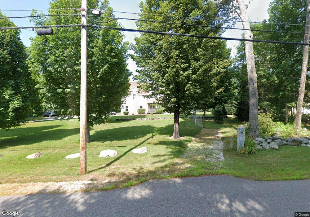
90 Birchdale Rd Concord, NH 03301
South End NeighborhoodEstimated Value: $729,849 - $857,000
3
Beds
3
Baths
2,632
Sq Ft
$297/Sq Ft
Est. Value
About This Home
This home is located at 90 Birchdale Rd, Concord, NH 03301 and is currently estimated at $782,212, approximately $297 per square foot. 90 Birchdale Rd is a home located in Merrimack County with nearby schools including Abbot-Downing School, Rundlett Middle School, and Concord High School.
Ownership History
Date
Name
Owned For
Owner Type
Purchase Details
Closed on
Mar 30, 2004
Sold by
Lee Thomas W and Lee Colleen F
Bought by
Fulton John Stewart and Fulton Heather K
Current Estimated Value
Home Financials for this Owner
Home Financials are based on the most recent Mortgage that was taken out on this home.
Original Mortgage
$319,900
Interest Rate
5.65%
Mortgage Type
Purchase Money Mortgage
Create a Home Valuation Report for This Property
The Home Valuation Report is an in-depth analysis detailing your home's value as well as a comparison with similar homes in the area
Home Values in the Area
Average Home Value in this Area
Purchase History
| Date | Buyer | Sale Price | Title Company |
|---|---|---|---|
| Fulton John Stewart | $399,900 | -- |
Source: Public Records
Mortgage History
| Date | Status | Borrower | Loan Amount |
|---|---|---|---|
| Open | Fulton John Stewart | $237,300 | |
| Closed | Fulton John Stewart | $319,900 |
Source: Public Records
Tax History Compared to Growth
Tax History
| Year | Tax Paid | Tax Assessment Tax Assessment Total Assessment is a certain percentage of the fair market value that is determined by local assessors to be the total taxable value of land and additions on the property. | Land | Improvement |
|---|---|---|---|---|
| 2024 | $14,031 | $506,700 | $144,300 | $362,400 |
| 2023 | $13,661 | $508,600 | $144,300 | $364,300 |
| 2022 | $13,168 | $508,600 | $144,300 | $364,300 |
| 2021 | $12,771 | $508,400 | $144,100 | $364,300 |
| 2020 | $11,833 | $442,200 | $114,000 | $328,200 |
| 2019 | $11,837 | $426,100 | $106,900 | $319,200 |
| 2018 | $11,984 | $425,100 | $99,000 | $326,100 |
| 2017 | $11,624 | $411,600 | $99,000 | $312,600 |
| 2016 | $11,483 | $415,000 | $99,000 | $316,000 |
| 2015 | $10,720 | $392,100 | $82,200 | $309,900 |
| 2014 | $10,512 | $392,100 | $82,200 | $309,900 |
| 2013 | $10,437 | $408,000 | $82,200 | $325,800 |
| 2012 | $9,848 | $404,100 | $78,100 | $326,000 |
Source: Public Records
Map
Nearby Homes
- 27 Brushwood Dr
- 490 Page Rd
- 167 Branch Londonderry Turnpike
- I3-03-05 Clinton St
- 8 Longview Dr
- 5 Longview Dr
- 6 Woodland Cir
- 250 Grapevine Rd
- 77 White Rock Hill Rd
- 70 Gile Hill Rd
- 40 Sawmill Rd
- 5 Holly Cir
- 4 Bow Center Rd Unit F2
- 4 Bow Center Rd Unit B2
- 0 Brown Hill Rd Unit 5032600
- 0 Farrington Corner Rd Unit 14
- 22 Wilson Ave
- 289 South St
- 7 Currier Rd
- 15 Wilson Ave