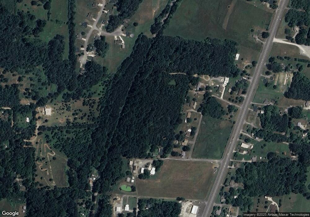
90 Black Circle Spur La Fayette, GA 30728
Noble NeighborhoodEstimated Value: $191,000 - $257,120
2
Beds
1
Bath
990
Sq Ft
$226/Sq Ft
Est. Value
About This Home
This home is located at 90 Black Circle Spur, La Fayette, GA 30728 and is currently estimated at $223,280, approximately $225 per square foot. 90 Black Circle Spur is a home with nearby schools including Rock Spring Elementary School and Lafayette High School.
Ownership History
Date
Name
Owned For
Owner Type
Purchase Details
Closed on
Nov 4, 2021
Sold by
Clark Marisa N
Bought by
Doss Benjamin D
Current Estimated Value
Home Financials for this Owner
Home Financials are based on the most recent Mortgage that was taken out on this home.
Original Mortgage
$78,600
Outstanding Balance
$60,234
Interest Rate
2.99%
Mortgage Type
New Conventional
Estimated Equity
$163,046
Purchase Details
Closed on
May 18, 2001
Sold by
Lankford Harley D and Lankford Margaret
Bought by
Lankford Harley Dean
Purchase Details
Closed on
Apr 9, 1997
Sold by
Lankford Harley D
Bought by
Lankford Harley D and Lankford Margaret A
Purchase Details
Closed on
May 3, 1963
Bought by
Lankford Harley D
Create a Home Valuation Report for This Property
The Home Valuation Report is an in-depth analysis detailing your home's value as well as a comparison with similar homes in the area
Home Values in the Area
Average Home Value in this Area
Purchase History
| Date | Buyer | Sale Price | Title Company |
|---|---|---|---|
| Doss Benjamin D | $99,000 | -- | |
| Lankford Harley Dean | -- | -- | |
| Lankford Harley D | -- | -- | |
| Lankford Harley D | -- | -- |
Source: Public Records
Mortgage History
| Date | Status | Borrower | Loan Amount |
|---|---|---|---|
| Open | Doss Benjamin D | $78,600 |
Source: Public Records
Tax History Compared to Growth
Tax History
| Year | Tax Paid | Tax Assessment Tax Assessment Total Assessment is a certain percentage of the fair market value that is determined by local assessors to be the total taxable value of land and additions on the property. | Land | Improvement |
|---|---|---|---|---|
| 2024 | $1,438 | $63,971 | $37,835 | $26,136 |
| 2023 | $623 | $30,094 | $30,028 | $66 |
| 2022 | $778 | $33,472 | $33,406 | $66 |
| 2021 | $861 | $33,472 | $33,406 | $66 |
| 2020 | $893 | $33,472 | $33,406 | $66 |
| 2019 | $911 | $33,472 | $33,406 | $66 |
| 2018 | $886 | $33,472 | $33,406 | $66 |
| 2017 | $1,003 | $33,472 | $33,406 | $66 |
| 2016 | $819 | $33,472 | $33,406 | $66 |
| 2015 | $583 | $22,374 | $22,308 | $66 |
| 2014 | $564 | $22,374 | $22,308 | $66 |
| 2013 | -- | $22,374 | $22,308 | $66 |
Source: Public Records
Map
Nearby Homes
- 0 Veeler Rd Unit 1522679
- 0 Veeler Rd Unit 10628696
- 329 Lynn Trail
- 11 Willow Cir
- 16 Willow Cir
- 23 Willow Cir
- The Pearson Plan at Laurel Ridge
- The Benson II Plan at Laurel Ridge
- The Langford Plan at Laurel Ridge
- The Lawson Plan at Laurel Ridge
- The Coleman Plan at Laurel Ridge
- The McGinnis Plan at Laurel Ridge
- The Caldwell Plan at Laurel Ridge
- 4654 Us Highway 27
- 4582 Highway N 27
- 4544 N Highway 27
- 234 Dad Taylor Dr
- 10180 Us Highway 27
- 663 Diamond Cir
- 63 Loughridge Ln
- 0 Black Circle Spur Unit 1341446
- 0 Black Circle Spur Unit 9033255
- 0 Black Circle Spur
- 96 Black Cir
- 162 Black Cir
- 110 Black Cir
- 186 Black Cir
- 78 Black Cir
- 206 Black Cir
- 126 Black Circle Spur
- 126 Black Circle Spur
- 27 Black Circle Spur
- 52 Flatstone Dr
- 44 Flatstone Dr
- 245 Pebblestone Dr
- 265 Pebblestone Dr
- 241 Pebblestone Dr
- 14 Flatstone Dr
- 5869 N Highway 27
- 5891 N Highway 27
