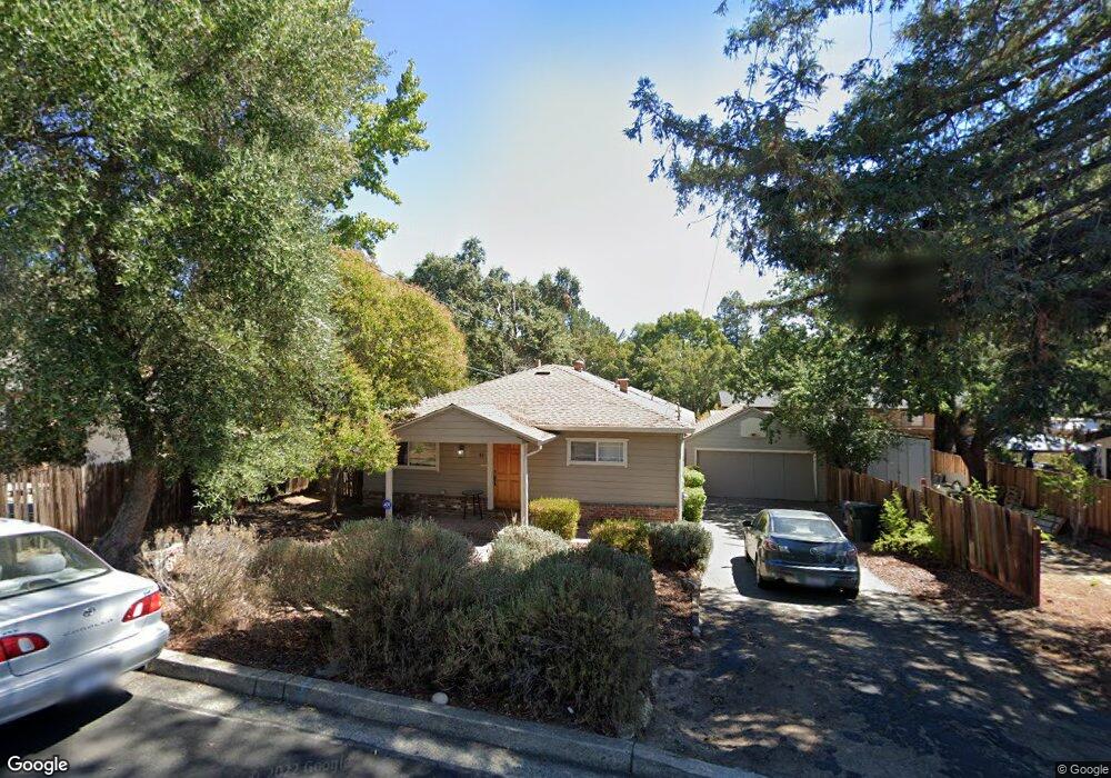
90 Brandon Rd Pleasant Hill, CA 94523
Estimated Value: $810,000 - $982,000
2
Beds
1
Bath
870
Sq Ft
$1,062/Sq Ft
Est. Value
About This Home
This home is located at 90 Brandon Rd, Pleasant Hill, CA 94523 and is currently estimated at $924,018, approximately $1,062 per square foot. 90 Brandon Rd is a home located in Contra Costa County with nearby schools including Strandwood Elementary School, Pleasant Hill Middle School, and College Park High School.
Ownership History
Date
Name
Owned For
Owner Type
Purchase Details
Closed on
Oct 22, 2010
Sold by
Pollock John Joseph and Pollock Patricia Deanne
Bought by
Pollock John Joseph and Pollock Patricia Deanne
Current Estimated Value
Home Financials for this Owner
Home Financials are based on the most recent Mortgage that was taken out on this home.
Original Mortgage
$178,100
Interest Rate
4.33%
Mortgage Type
New Conventional
Purchase Details
Closed on
Apr 25, 2005
Sold by
Pollock Patricia D and Pollock John J
Bought by
Pollock John Joseph and Pollock Patricia Deanne
Create a Home Valuation Report for This Property
The Home Valuation Report is an in-depth analysis detailing your home's value as well as a comparison with similar homes in the area
Home Values in the Area
Average Home Value in this Area
Purchase History
We collect this data history from publicly available records. To have your information removed, we recommend requesting removal directly through your county’s website.
| Date | Buyer | Sale Price | Title Company |
|---|---|---|---|
| Pollock John Joseph | -- | First American Title Company | |
| Pollock John Joseph | -- | -- |
Source: Public Records
Mortgage History
We collect this data history from publicly available records. To have your information removed, we recommend requesting removal directly through your county’s website.
| Date | Status | Borrower | Loan Amount |
|---|---|---|---|
| Closed | Pollock John Joseph | $178,100 |
Source: Public Records
Tax History
| Year | Tax Paid | Tax Assessment Tax Assessment Total Assessment is a certain percentage of the fair market value that is determined by local assessors to be the total taxable value of land and additions on the property. | Land | Improvement |
|---|---|---|---|---|
| 2025 | $3,144 | $198,242 | $184,425 | $13,817 |
| 2024 | $3,009 | $194,356 | $180,809 | $13,547 |
| 2023 | $3,009 | $190,546 | $177,264 | $13,282 |
| 2022 | $2,984 | $186,811 | $173,789 | $13,022 |
| 2021 | $2,912 | $183,149 | $170,382 | $12,767 |
| 2019 | $2,821 | $177,719 | $165,329 | $12,390 |
| 2018 | $2,720 | $174,236 | $162,088 | $12,148 |
| 2017 | $2,629 | $170,820 | $158,910 | $11,910 |
| 2016 | $2,552 | $167,472 | $155,795 | $11,677 |
| 2015 | $2,515 | $164,957 | $153,455 | $11,502 |
| 2014 | $2,467 | $161,727 | $150,450 | $11,277 |
Source: Public Records
Map
Nearby Homes
- 104 Hopeco Rd
- 87 Rolling Green Cir
- 416 Monti Cir
- 102 Providence Place
- 105 Providence Place
- 106 Providence Place
- 516 Mcgrath Ct
- 387 Gladys Dr
- 2355 Pleasant Hill Rd
- 2177 Pleasant Hill Rd
- 2420 Pleasant Hill Rd Unit 1
- 198 Greenwich Dr
- 1948 Rose Ln
- 115 Patterson Blvd
- 2020 Elinora Dr
- 263 Croyden Dr
- 1919 Elinora Dr
- 420 Beatrice Rd
- 355 Kathleen Dr
- 599 Best Rd
Your Personal Tour Guide
Ask me questions while you tour the home.