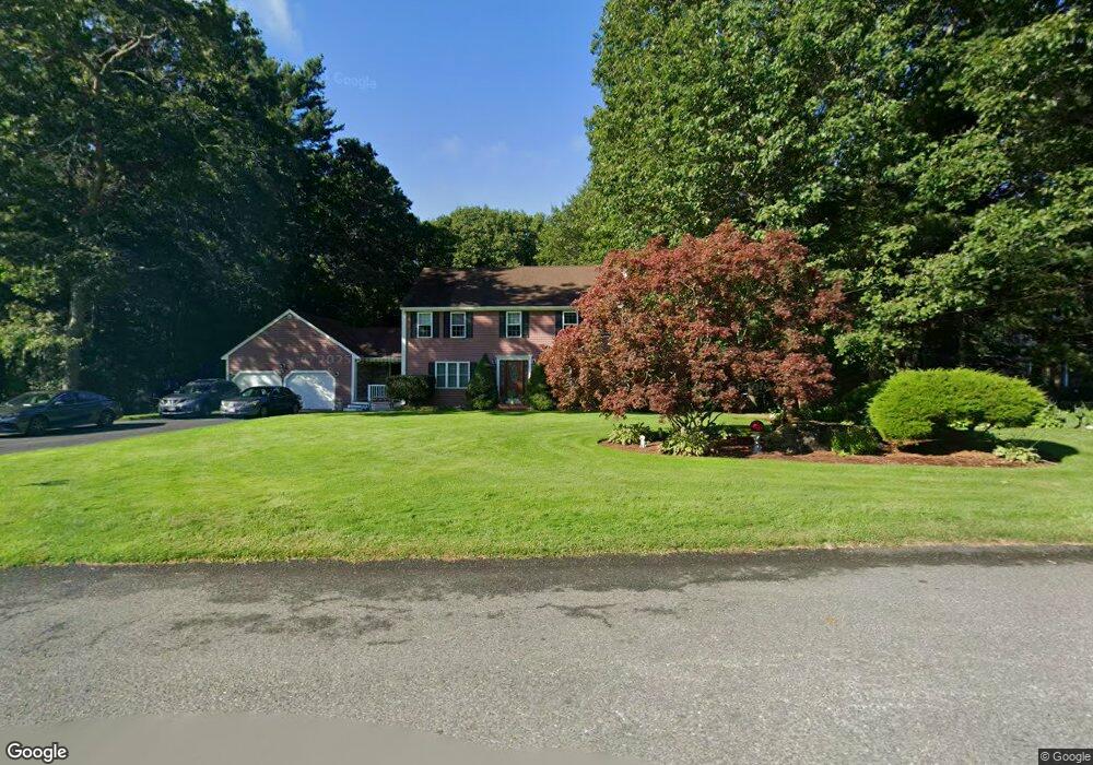
90 Captains Landing Raynham, MA 02767
Estimated Value: $759,765 - $829,000
4
Beds
3
Baths
2,396
Sq Ft
$329/Sq Ft
Est. Value
About This Home
This home is located at 90 Captains Landing, Raynham, MA 02767 and is currently estimated at $787,941, approximately $328 per square foot. 90 Captains Landing is a home located in Bristol County with nearby schools including LaLiberte Elementary School, Merrill Elementary School, and Williams Intermediate School.
Ownership History
Date
Name
Owned For
Owner Type
Purchase Details
Closed on
Sep 24, 1993
Sold by
Vibe Inc
Bought by
Barthel Kevin M and Barthel Cynthia L
Current Estimated Value
Home Financials for this Owner
Home Financials are based on the most recent Mortgage that was taken out on this home.
Original Mortgage
$171,000
Interest Rate
7.1%
Mortgage Type
Purchase Money Mortgage
Create a Home Valuation Report for This Property
The Home Valuation Report is an in-depth analysis detailing your home's value as well as a comparison with similar homes in the area
Home Values in the Area
Average Home Value in this Area
Purchase History
| Date | Buyer | Sale Price | Title Company |
|---|---|---|---|
| Barthel Kevin M | $190,000 | -- |
Source: Public Records
Mortgage History
| Date | Status | Borrower | Loan Amount |
|---|---|---|---|
| Closed | Barthel Kevin M | $171,000 |
Source: Public Records
Tax History Compared to Growth
Tax History
| Year | Tax Paid | Tax Assessment Tax Assessment Total Assessment is a certain percentage of the fair market value that is determined by local assessors to be the total taxable value of land and additions on the property. | Land | Improvement |
|---|---|---|---|---|
| 2025 | $7,767 | $641,900 | $211,500 | $430,400 |
| 2024 | $7,600 | $611,900 | $203,500 | $408,400 |
| 2023 | $7,076 | $520,300 | $183,000 | $337,300 |
| 2022 | $6,725 | $453,500 | $163,000 | $290,500 |
| 2021 | $6,544 | $445,500 | $155,000 | $290,500 |
| 2020 | $6,420 | $445,500 | $155,000 | $290,500 |
| 2019 | $6,339 | $445,500 | $155,000 | $290,500 |
| 2018 | $6,240 | $418,800 | $155,000 | $263,800 |
| 2017 | $5,976 | $397,600 | $147,000 | $250,600 |
| 2016 | $5,908 | $394,400 | $143,800 | $250,600 |
| 2015 | $5,648 | $370,600 | $143,900 | $226,700 |
Source: Public Records
Map
Nearby Homes
- 0 Oxbow Rd Unit 35-1 73356486
- 0 Oxbow Rd Unit 20-3
- 0 Oxbow Rd Unit 35 73378989
- 0 Oxbow Rd Unit 5-3 73420102
- 50 Oxbow Rd Unit 34-1
- 36 Oxbow Rd Unit 18-2
- 56 Oxbow Rd Unit 35-1
- 7 Oxbow Rd Unit 5-1
- 42 Oxbow Rd Unit 20-1
- 71 Oxbow Rd Unit 38-1
- 61 Oxbow Rd Unit 36-1
- 63 Oxbow Rd Unit 36-2
- 48 Oxbow Rd Unit 34-2
- 65 Oxbow Rd Unit 37-1
- 69 Oxbow Rd Unit 37-3
- The Birch Plan at Larkwood
- The Hickory Plan at Larkwood
- The Spruce Plan at Larkwood
- The Chestnut Plan at Larkwood
- The Pine Plan at Larkwood
- 110 Captains Landing
- 70 Captains Landing
- 87 Captains Landing
- 105 Captains Landing
- 67 Captains Landing
- 119 Captains Landing
- 125 Dean St
- 50 Captains Landing
- 47 Captains Landing
- 30 Captains Landing
- 29 Captains Landing
- 57 Dean St
- 83 Dean St
- 30 Captain's Landing
- 43 Dean St
- 95 Dean St
- 97 Dean St
- 446 Church St
- 19 Dean St
- 434 Church St