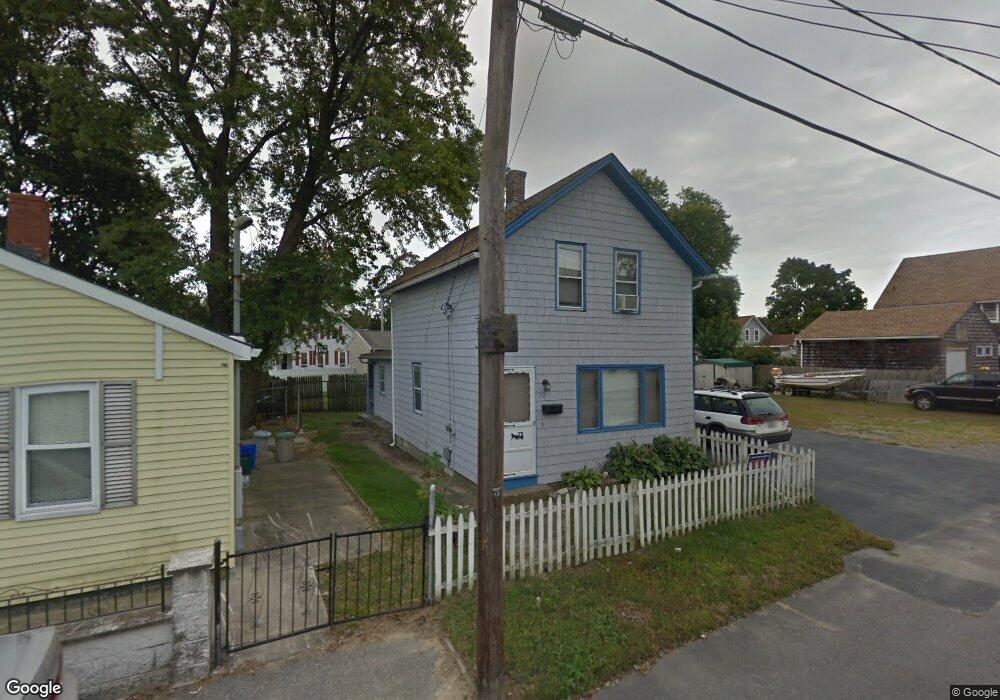
90 Cedar Ave Riverside, RI 02915
Riverside NeighborhoodEstimated Value: $333,000 - $408,000
4
Beds
2
Baths
1,305
Sq Ft
$281/Sq Ft
Est. Value
About This Home
This home is located at 90 Cedar Ave, Riverside, RI 02915 and is currently estimated at $366,962, approximately $281 per square foot. 90 Cedar Ave is a home located in Providence County with nearby schools including East Providence High School, St Mary Academy-Bay View, and The Gordon School.
Ownership History
Date
Name
Owned For
Owner Type
Purchase Details
Closed on
Feb 17, 2021
Sold by
Smith Aurora P Est
Bought by
Smith Kristin L
Current Estimated Value
Home Financials for this Owner
Home Financials are based on the most recent Mortgage that was taken out on this home.
Original Mortgage
$201,526
Outstanding Balance
$180,243
Interest Rate
2.7%
Mortgage Type
Stand Alone Refi Refinance Of Original Loan
Estimated Equity
$186,719
Purchase Details
Closed on
Feb 13, 2021
Sold by
Cram-Kelly Donna and Smith Robert F
Bought by
Smith Kristin L
Home Financials for this Owner
Home Financials are based on the most recent Mortgage that was taken out on this home.
Original Mortgage
$201,526
Outstanding Balance
$180,243
Interest Rate
2.7%
Mortgage Type
Stand Alone Refi Refinance Of Original Loan
Estimated Equity
$186,719
Create a Home Valuation Report for This Property
The Home Valuation Report is an in-depth analysis detailing your home's value as well as a comparison with similar homes in the area
Home Values in the Area
Average Home Value in this Area
Purchase History
| Date | Buyer | Sale Price | Title Company |
|---|---|---|---|
| Smith Kristin L | $155,000 | None Available | |
| Smith Kristin L | -- | None Available |
Source: Public Records
Mortgage History
| Date | Status | Borrower | Loan Amount |
|---|---|---|---|
| Open | Smith Kristin L | $201,526 | |
| Closed | Smith Kristin L | $201,526 |
Source: Public Records
Tax History
| Year | Tax Paid | Tax Assessment Tax Assessment Total Assessment is a certain percentage of the fair market value that is determined by local assessors to be the total taxable value of land and additions on the property. | Land | Improvement |
|---|---|---|---|---|
| 2025 | $4,286 | $327,900 | $87,700 | $240,200 |
| 2024 | $3,857 | $251,600 | $73,100 | $178,500 |
| 2023 | $3,714 | $251,600 | $73,100 | $178,500 |
| 2022 | $3,664 | $167,600 | $50,500 | $117,100 |
| 2021 | $3,603 | $167,600 | $50,500 | $117,100 |
| 2020 | $3,451 | $167,600 | $50,500 | $117,100 |
| 2019 | $3,355 | $167,600 | $50,500 | $117,100 |
| 2018 | $3,242 | $141,700 | $50,600 | $91,100 |
| 2017 | $3,170 | $141,700 | $50,600 | $91,100 |
| 2016 | $3,154 | $141,700 | $50,600 | $91,100 |
| 2015 | $3,167 | $138,000 | $51,600 | $86,400 |
| 2014 | $3,167 | $138,000 | $51,600 | $86,400 |
Source: Public Records
Map
Nearby Homes
- 33 Pine St Unit 35
- 129 Shore Rd
- 72 Stowe Ave
- 28 Jefferson Ave
- 35 E Knowlton St
- 99 Allen Ave
- 103 Burnside Ave
- 41 White Ave
- 25 Arnold St
- 151 Willett Ave Unit 2
- 151 Willett Ave Unit 5
- 43 Bullocks Point Ave Unit 4A
- 33 Bullocks Point Ave Unit 5C
- 25 Bullocks Point Ave Unit 5C
- 6 Fuller Ave
- 25 Winslow St
- 10 Booth Ave
- 15 Claire St
- 0 Carousel Dr
- 916 Bullocks Pt Ave
Your Personal Tour Guide
Ask me questions while you tour the home.