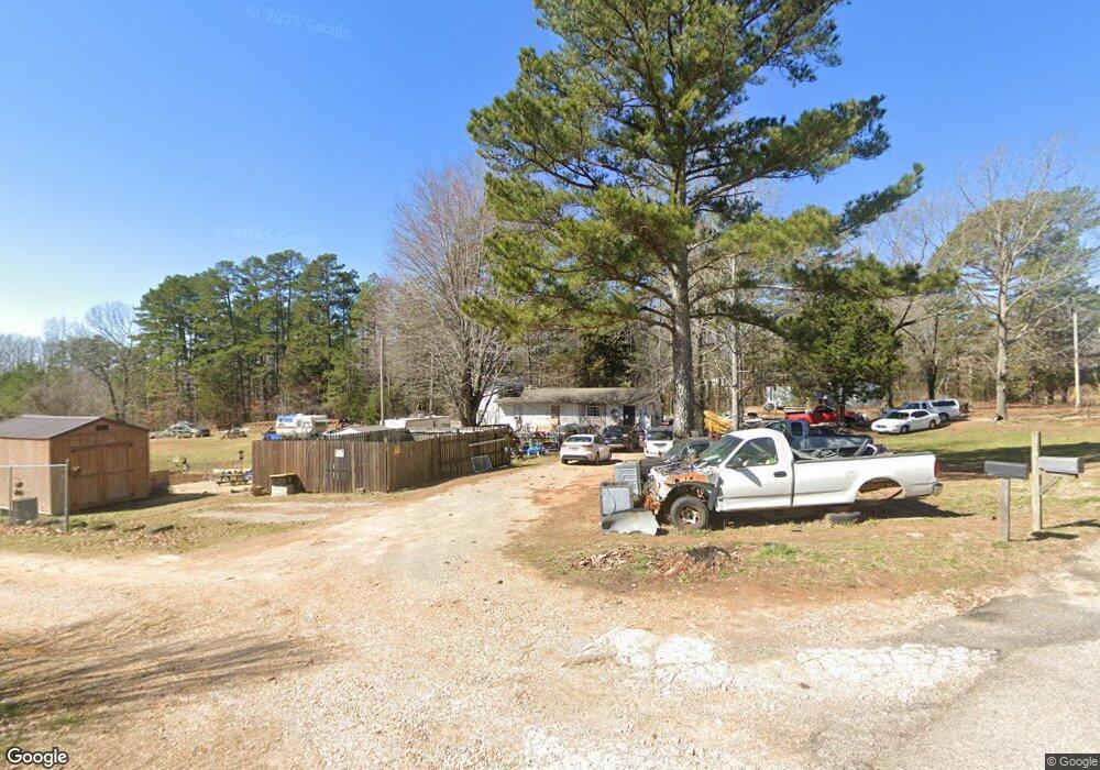
90 Coco Ln Savannah, TN 38372
Estimated Value: $48,000 - $110,000
--
Bed
1
Bath
978
Sq Ft
$94/Sq Ft
Est. Value
About This Home
This home is located at 90 Coco Ln, Savannah, TN 38372 and is currently estimated at $91,446, approximately $93 per square foot. 90 Coco Ln is a home located in Hardin County with nearby schools including Hardin County High School.
Ownership History
Date
Name
Owned For
Owner Type
Purchase Details
Closed on
Jan 3, 2020
Sold by
Deshazier Gilbert O
Bought by
Carroll John
Current Estimated Value
Purchase Details
Closed on
Feb 9, 2006
Sold by
Suntrust Bank
Bought by
Deshazier Gilbert O
Purchase Details
Closed on
Aug 29, 2005
Bought by
Suntrust Bank
Purchase Details
Closed on
Jun 7, 2002
Sold by
Tony Wilkerson
Bought by
Jimmy Thacker
Home Financials for this Owner
Home Financials are based on the most recent Mortgage that was taken out on this home.
Original Mortgage
$26,185
Interest Rate
6.77%
Purchase Details
Closed on
Oct 13, 2000
Sold by
Tony Wilkerson
Bought by
Tony Wilkerson
Purchase Details
Closed on
Apr 2, 1991
Bought by
Deshazier Gilbert O and Deshazier Cherry
Purchase Details
Closed on
Nov 25, 1977
Bought by
Deshazier Gilbert O and Deshazier Cherry
Create a Home Valuation Report for This Property
The Home Valuation Report is an in-depth analysis detailing your home's value as well as a comparison with similar homes in the area
Home Values in the Area
Average Home Value in this Area
Purchase History
| Date | Buyer | Sale Price | Title Company |
|---|---|---|---|
| Carroll John | $25,000 | None Available | |
| Deshazier Gilbert O | $12,000 | -- | |
| Suntrust Bank | $25,000 | -- | |
| Jimmy Thacker | $35,000 | -- | |
| Tony Wilkerson | -- | -- | |
| Deshazier Gilbert O | -- | -- | |
| Deshazier Gilbert O | -- | -- |
Source: Public Records
Mortgage History
| Date | Status | Borrower | Loan Amount |
|---|---|---|---|
| Previous Owner | Deshazier Gilbert O | $26,185 |
Source: Public Records
Tax History Compared to Growth
Tax History
| Year | Tax Paid | Tax Assessment Tax Assessment Total Assessment is a certain percentage of the fair market value that is determined by local assessors to be the total taxable value of land and additions on the property. | Land | Improvement |
|---|---|---|---|---|
| 2024 | $180 | $10,275 | $2,875 | $7,400 |
| 2023 | $180 | $10,275 | $2,875 | $7,400 |
| 2022 | $127 | $6,175 | $1,350 | $4,825 |
| 2021 | $127 | $6,175 | $1,350 | $4,825 |
| 2020 | $127 | $6,175 | $1,350 | $4,825 |
| 2019 | $127 | $6,175 | $1,350 | $4,825 |
| 2018 | $123 | $6,175 | $1,350 | $4,825 |
| 2017 | $99 | $4,775 | $1,350 | $3,425 |
| 2016 | $99 | $4,775 | $1,350 | $3,425 |
| 2015 | $87 | $4,775 | $1,350 | $3,425 |
| 2014 | $87 | $4,775 | $1,350 | $3,425 |
Source: Public Records
Map
Nearby Homes
- 1031 Ridge Rd
- 61 Tulip Ln
- 175 Drake Loop
- 865 Sylvan Dr
- 1910 Hamburg Loop
- 144 Deer Ln
- 225 Nixon Loop
- 440 Pyburns Dr
- 3595 Northshore Dr
- 0 Northshore Dr Unit 24573680
- 3601 Northshore Dr
- 3600 Northshore Dr
- 0 Northshore Dr Unit 10186085
- 40 Baileys Way Pointe
- 8 Captains Cove
- 0 Breeze Point Unit RTC2922640
- 470 Bandit Way
- 5 & 6 Light Pointe
- 85 Breeze Point
- 00 Breeze Point