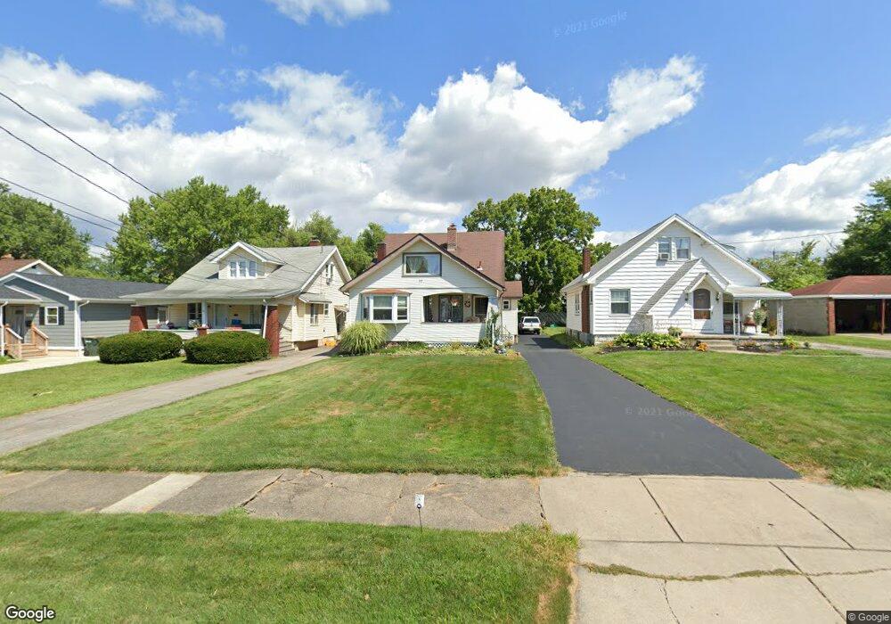
90 Erskine Ave Youngstown, OH 44512
Estimated Value: $130,832 - $158,000
4
Beds
2
Baths
1,782
Sq Ft
$81/Sq Ft
Est. Value
About This Home
This home is located at 90 Erskine Ave, Youngstown, OH 44512 and is currently estimated at $144,208, approximately $80 per square foot. 90 Erskine Ave is a home located in Mahoning County with nearby schools including Boardman Glenwood Junior High School, Boardman High School, and Horizon Science Academy - Youngstown.
Ownership History
Date
Name
Owned For
Owner Type
Purchase Details
Closed on
Jun 8, 2022
Bought by
Mcgowan Marilyn J Trustee
Current Estimated Value
Purchase Details
Closed on
May 20, 2022
Sold by
Mannozzi Marilyn J and Mannozzi Brian
Bought by
Mcgowan Marilyn J and Mcgowan Marilyn J
Purchase Details
Closed on
Jun 13, 2013
Sold by
Mannozzi Marilyn J and Mcgowan Marilyn J
Bought by
Mcgowan Marilyn J and Mcgowan Brian E
Purchase Details
Closed on
Sep 2, 1988
Bought by
Mannozzi Marilyn J
Create a Home Valuation Report for This Property
The Home Valuation Report is an in-depth analysis detailing your home's value as well as a comparison with similar homes in the area
Home Values in the Area
Average Home Value in this Area
Purchase History
| Date | Buyer | Sale Price | Title Company |
|---|---|---|---|
| Mcgowan Marilyn J Trustee | -- | -- | |
| Mcgowan Marilyn J | -- | None Listed On Document | |
| Mcgowan Marilyn J | -- | Attorney | |
| Mannozzi Marilyn J | $39,900 | -- |
Source: Public Records
Tax History Compared to Growth
Tax History
| Year | Tax Paid | Tax Assessment Tax Assessment Total Assessment is a certain percentage of the fair market value that is determined by local assessors to be the total taxable value of land and additions on the property. | Land | Improvement |
|---|---|---|---|---|
| 2024 | $1,814 | $35,860 | $2,720 | $33,140 |
| 2023 | $1,790 | $35,860 | $2,720 | $33,140 |
| 2022 | $1,210 | $18,450 | $2,690 | $15,760 |
| 2021 | $1,211 | $18,450 | $2,690 | $15,760 |
| 2020 | $1,217 | $18,450 | $2,690 | $15,760 |
| 2019 | $1,211 | $16,330 | $2,380 | $13,950 |
| 2018 | $1,038 | $16,330 | $2,380 | $13,950 |
| 2017 | $1,035 | $16,330 | $2,380 | $13,950 |
| 2016 | $1,085 | $16,940 | $2,580 | $14,360 |
| 2015 | $1,063 | $16,940 | $2,580 | $14,360 |
| 2014 | $1,066 | $16,940 | $2,580 | $14,360 |
| 2013 | $1,052 | $16,940 | $2,580 | $14,360 |
Source: Public Records
Map
Nearby Homes
- 81 Melrose Ave
- 127 Melrose Ave
- 149 Argyle Ave
- 167 Afton Ave
- 44 Gertrude Ave
- 175 Homestead Dr
- 28 Terrace Dr
- 83 Beechwood Dr
- 148 Clifton Dr
- 169 Wolcott Dr
- 94 Beechwood Dr
- 0 Mathews Rd Unit 5038026
- 197 Mathews Rd Unit B
- 94 Shadyside Dr
- 60 Shadyside Dr
- 4508 Southern Blvd
- 235 Wolcott Dr
- 4504 Southern Blvd
- 5020 Friendship Ave
- 6001 Applecrest Dr
- 86 Erskine Ave
- 94 Erskine Ave
- 82 Erskine Ave
- 78 Erskine Ave
- 85 Melrose Ave
- 5324 Southern Blvd
- 89 Melrose Ave
- 74 Erskine Ave
- 91 Erskine Ave
- 89 Erskine Ave
- 95 Erskine Ave
- 72 Erskine Ave
- 5404 Southern Blvd Unit 406
- 85 Erskine Ave
- 73 Melrose Ave
- 81 Erskine Ave
- 68 Erskine Ave
- 5308 Southern Blvd
- 5410 Southern Blvd
- 77 Erskine Ave