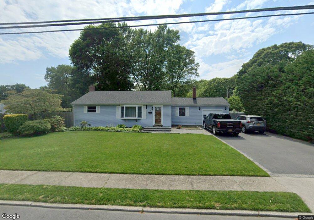
90 Kennedy Ave Blue Point, NY 11715
Estimated Value: $608,234 - $703,000
2
Beds
1
Bath
1,392
Sq Ft
$479/Sq Ft
Est. Value
About This Home
This home is located at 90 Kennedy Ave, Blue Point, NY 11715 and is currently estimated at $667,309, approximately $479 per square foot. 90 Kennedy Ave is a home located in Suffolk County with nearby schools including James Wilson Young Middle School, Bayport Blue Point High School, and Holy Angels Regional School.
Ownership History
Date
Name
Owned For
Owner Type
Purchase Details
Closed on
Oct 12, 2011
Sold by
Mcivor Shawn
Bought by
Bolger Michael and Bolger Jack
Current Estimated Value
Home Financials for this Owner
Home Financials are based on the most recent Mortgage that was taken out on this home.
Original Mortgage
$304,090
Outstanding Balance
$207,601
Interest Rate
4.12%
Mortgage Type
FHA
Estimated Equity
$459,708
Purchase Details
Closed on
Jun 2, 2008
Sold by
Kaier Robert Jon
Bought by
Mcivor Shawn
Purchase Details
Closed on
May 25, 1995
Sold by
Pasi Stephen R and Pasi Mary E
Bought by
Kaler Robert John and Killen Eileen M
Create a Home Valuation Report for This Property
The Home Valuation Report is an in-depth analysis detailing your home's value as well as a comparison with similar homes in the area
Home Values in the Area
Average Home Value in this Area
Purchase History
| Date | Buyer | Sale Price | Title Company |
|---|---|---|---|
| Bolger Michael | $312,000 | -- | |
| Mcivor Shawn | $330,000 | Brian Butler | |
| Kaler Robert John | $20,000 | Fidelity National Title |
Source: Public Records
Mortgage History
| Date | Status | Borrower | Loan Amount |
|---|---|---|---|
| Open | Bolger Michael | $304,090 |
Source: Public Records
Tax History Compared to Growth
Tax History
| Year | Tax Paid | Tax Assessment Tax Assessment Total Assessment is a certain percentage of the fair market value that is determined by local assessors to be the total taxable value of land and additions on the property. | Land | Improvement |
|---|---|---|---|---|
| 2024 | $10,445 | $2,400 | $370 | $2,030 |
| 2023 | $10,445 | $2,400 | $370 | $2,030 |
| 2022 | $8,763 | $2,400 | $370 | $2,030 |
| 2021 | $8,763 | $2,400 | $370 | $2,030 |
| 2020 | $9,168 | $2,400 | $370 | $2,030 |
| 2019 | $9,168 | $0 | $0 | $0 |
| 2018 | $8,626 | $2,400 | $370 | $2,030 |
| 2017 | $8,626 | $2,400 | $370 | $2,030 |
| 2016 | $8,726 | $2,400 | $370 | $2,030 |
| 2015 | -- | $2,400 | $370 | $2,030 |
| 2014 | -- | $2,400 | $370 | $2,030 |
Source: Public Records
Map
Nearby Homes
- 63 Division Ave
- 64 Highland Ave
- 0 Sylvan Ave
- 26 Lakeland Ave
- 21 S Summit Ave
- 28 S Pinelake Dr
- 92 Park St
- 186 Halley Dr
- 49 S Summit Ave
- 50 W Lake Dr
- 6 Oyster Cove Ln
- 39 W 3rd St
- 510 Bayport Ave
- 57 W 6th St
- 40 W 4th St Unit 149
- 40 W 4th St Unit 62
- 462 Bayport Ave
- 260 Waverly Ave Unit 15
- 260 Waverly Ave Unit 52
- 260 Waverly Ave Unit 58