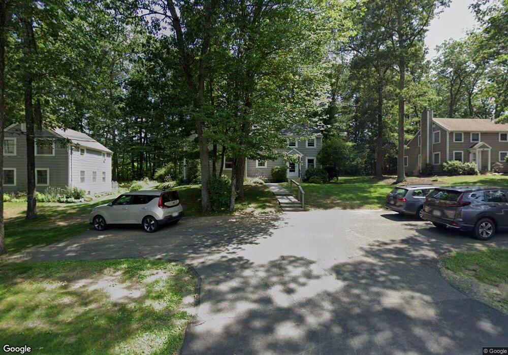
90 Laurel St Unit A Greenfield, MA 01301
Estimated Value: $249,000 - $282,000
3
Beds
2
Baths
1,336
Sq Ft
$201/Sq Ft
Est. Value
About This Home
This home is located at 90 Laurel St Unit A, Greenfield, MA 01301 and is currently estimated at $268,442, approximately $200 per square foot. 90 Laurel St Unit A is a home located in Franklin County with nearby schools including Four Rivers Charter Public School and Cornerstone Christian School.
Ownership History
Date
Name
Owned For
Owner Type
Purchase Details
Closed on
Jul 16, 1998
Sold by
Lincoln Scott M
Bought by
Raymond Robert C and Raymond Judith A
Current Estimated Value
Home Financials for this Owner
Home Financials are based on the most recent Mortgage that was taken out on this home.
Original Mortgage
$67,200
Interest Rate
6.98%
Mortgage Type
Purchase Money Mortgage
Create a Home Valuation Report for This Property
The Home Valuation Report is an in-depth analysis detailing your home's value as well as a comparison with similar homes in the area
Home Values in the Area
Average Home Value in this Area
Purchase History
| Date | Buyer | Sale Price | Title Company |
|---|---|---|---|
| Raymond Robert C | $84,000 | -- | |
| Raymond Robert C | $84,000 | -- |
Source: Public Records
Mortgage History
| Date | Status | Borrower | Loan Amount |
|---|---|---|---|
| Open | Raymond Robert C | $50,000 | |
| Closed | Raymond Robert C | $59,900 | |
| Closed | Raymond Robert C | $67,200 |
Source: Public Records
Tax History Compared to Growth
Tax History
| Year | Tax Paid | Tax Assessment Tax Assessment Total Assessment is a certain percentage of the fair market value that is determined by local assessors to be the total taxable value of land and additions on the property. | Land | Improvement |
|---|---|---|---|---|
| 2025 | $4,966 | $253,900 | $0 | $253,900 |
| 2024 | $5,047 | $247,500 | $0 | $247,500 |
| 2023 | $3,700 | $188,300 | $0 | $188,300 |
| 2022 | $3,759 | $168,400 | $0 | $168,400 |
| 2021 | $3,425 | $147,500 | $0 | $147,500 |
| 2020 | $3,401 | $148,300 | $0 | $148,300 |
| 2019 | $3,336 | $149,200 | $0 | $149,200 |
| 2018 | $3,243 | $144,600 | $0 | $144,600 |
| 2017 | $3,142 | $144,600 | $0 | $144,600 |
| 2016 | $3,226 | $147,900 | $0 | $147,900 |
| 2015 | $3,257 | $144,700 | $0 | $144,700 |
| 2014 | $3,053 | $148,700 | $0 | $148,700 |
Source: Public Records
Map
Nearby Homes
- 107 Fairview St E
- 58A Laurel St
- 130 Laurel St
- 83 Newton St
- 23 Robbins Rd
- 46 Colrain St
- 163 S Shelburne Rd
- 11 Colrain St
- 8-10 Western Ave
- 75 Phillips St
- 11 Conway St
- 74 Petty Plain Rd
- 36 West St
- 59-61 Conway St
- 86-88 Conway St
- 6 Keegan Ln Unit E
- 116-120 Elm St
- 111-113 Deerfield St
- 227 Deerfield St
- 73 Washington St
- 90 Laurel St Unit B
- 90 Laurel St
- 90 Laurel St Unit 90B
- 86 Laurel St Unit B
- 86 Laurel St Unit A
- 86A Laurel St Unit A
- 86 Laurel St
- 86A Laurel St Unit 86A
- 94 Laurel St Unit B
- 94 Laurel St Unit A
- 80 Laurel St Unit B
- 80 Laurel St Unit A
- 96 Laurel St Unit B
- 96 Laurel St Unit A
- 73 Fairview St E Unit B
- 73 Fairview St E Unit A
- 83 Fairview St E Unit B
- 83 Fairview St E Unit A
- 83 Fairview St E Unit T83B
- 81 Laurel St