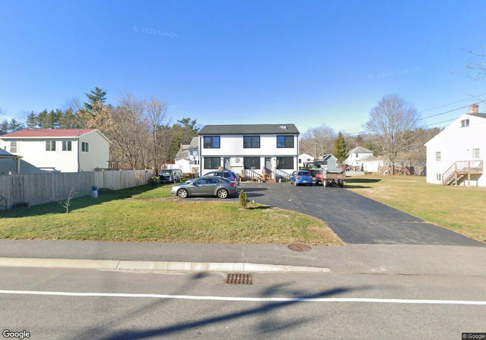
90 Maple St Saco, ME 04072
Central Saco NeighborhoodEstimated Value: $496,189 - $550,000
5
Beds
3
Baths
2,120
Sq Ft
$249/Sq Ft
Est. Value
About This Home
This home is located at 90 Maple St, Saco, ME 04072 and is currently estimated at $527,547, approximately $248 per square foot. 90 Maple St is a home located in York County with nearby schools including C K Burns School, Saco Middle School, and Saint James School.
Ownership History
Date
Name
Owned For
Owner Type
Purchase Details
Closed on
May 3, 2021
Sold by
Milne Ft
Bought by
Milne Alison
Current Estimated Value
Purchase Details
Closed on
Jul 1, 2009
Sold by
Tito Jeanine M and Tito Tefta A
Bought by
Tito David P and Tito Tefta A
Home Financials for this Owner
Home Financials are based on the most recent Mortgage that was taken out on this home.
Original Mortgage
$20,000
Interest Rate
4.86%
Mortgage Type
Purchase Money Mortgage
Create a Home Valuation Report for This Property
The Home Valuation Report is an in-depth analysis detailing your home's value as well as a comparison with similar homes in the area
Home Values in the Area
Average Home Value in this Area
Purchase History
| Date | Buyer | Sale Price | Title Company |
|---|---|---|---|
| Milne Alison | -- | None Available | |
| Tito David P | -- | -- |
Source: Public Records
Mortgage History
| Date | Status | Borrower | Loan Amount |
|---|---|---|---|
| Previous Owner | Tito David P | $20,000 | |
| Previous Owner | Tito David P | $50,000 |
Source: Public Records
Tax History
| Year | Tax Paid | Tax Assessment Tax Assessment Total Assessment is a certain percentage of the fair market value that is determined by local assessors to be the total taxable value of land and additions on the property. | Land | Improvement |
|---|---|---|---|---|
| 2024 | $5,523 | $393,100 | $107,500 | $285,600 |
| 2023 | $5,798 | $393,100 | $107,500 | $285,600 |
| 2022 | $5,149 | $280,900 | $82,000 | $198,900 |
| 2021 | $5,032 | $266,500 | $82,000 | $184,500 |
| 2020 | $4,845 | $246,300 | $78,400 | $167,900 |
| 2019 | $4,773 | $246,300 | $78,400 | $167,900 |
| 2018 | $0 | $239,100 | $71,200 | $167,900 |
| 2017 | $0 | $224,700 | $71,200 | $153,500 |
| 2016 | $3,773 | $219,600 | $71,200 | $148,400 |
| 2015 | $3,773 | $196,300 | $49,700 | $146,600 |
| 2014 | $3,655 | $196,300 | $49,700 | $146,600 |
| 2013 | $3,647 | $196,300 | $49,700 | $146,600 |
Source: Public Records
Map
Nearby Homes
- 75 Maple St Unit 101
- 57 Hill St
- 27 Pepperell St Unit 1
- 120 Lincoln St
- 242 Lincoln St
- 2 Labonte Ave E
- 3 Labonte Ave E
- 24 Dyer St
- 22 Tasker St Unit 11
- 22 Tasker St Unit 10
- 8 Oakland St
- TBD Oakland St
- 8 Park St Unit 2
- 7 Hubbard St
- 224 North St Unit 105
- 00 Sawyer St
- 18A Garfield St
- 674 South St
- 20 Upper Falls Rd Unit 506
- 20 Upper Falls Rd Unit 403
Your Personal Tour Guide
Ask me questions while you tour the home.