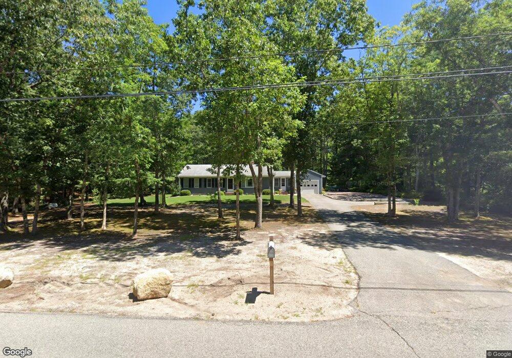
90 Mayflower Rd Carver, MA 02330
Estimated Value: $496,000 - $617,000
3
Beds
1
Bath
1,464
Sq Ft
$380/Sq Ft
Est. Value
About This Home
This home is located at 90 Mayflower Rd, Carver, MA 02330 and is currently estimated at $556,016, approximately $379 per square foot. 90 Mayflower Rd is a home with nearby schools including Carver Elementary School and Carver Middle/High School.
Ownership History
Date
Name
Owned For
Owner Type
Purchase Details
Closed on
Dec 8, 2017
Sold by
Kallio Robert W Est and Lavivita
Bought by
Correira James and Correira Julia A
Current Estimated Value
Home Financials for this Owner
Home Financials are based on the most recent Mortgage that was taken out on this home.
Original Mortgage
$216,000
Outstanding Balance
$179,272
Interest Rate
3.94%
Mortgage Type
New Conventional
Estimated Equity
$376,744
Purchase Details
Closed on
Dec 6, 1971
Bought by
Kallio Robert
Create a Home Valuation Report for This Property
The Home Valuation Report is an in-depth analysis detailing your home's value as well as a comparison with similar homes in the area
Home Values in the Area
Average Home Value in this Area
Purchase History
| Date | Buyer | Sale Price | Title Company |
|---|---|---|---|
| Correira James | $240,000 | -- | |
| Kallio Robert | -- | -- |
Source: Public Records
Mortgage History
| Date | Status | Borrower | Loan Amount |
|---|---|---|---|
| Open | Correira James | $216,000 |
Source: Public Records
Tax History
| Year | Tax Paid | Tax Assessment Tax Assessment Total Assessment is a certain percentage of the fair market value that is determined by local assessors to be the total taxable value of land and additions on the property. | Land | Improvement |
|---|---|---|---|---|
| 2025 | $6,346 | $457,500 | $153,300 | $304,200 |
| 2024 | $5,997 | $423,200 | $150,300 | $272,900 |
| 2023 | $5,849 | $400,900 | $150,300 | $250,600 |
| 2022 | $5,505 | $344,500 | $128,500 | $216,000 |
| 2021 | $5,082 | $300,000 | $114,700 | $185,300 |
| 2020 | $4,875 | $283,600 | $107,300 | $176,300 |
| 2019 | $4,699 | $275,600 | $104,100 | $171,500 |
| 2018 | $4,416 | $250,500 | $104,100 | $146,400 |
| 2017 | $4,260 | $240,800 | $100,200 | $140,600 |
| 2016 | $3,913 | $229,800 | $95,400 | $134,400 |
| 2015 | $3,698 | $217,400 | $95,400 | $122,000 |
| 2014 | $3,785 | $222,500 | $120,600 | $101,900 |
Source: Public Records
Map
Nearby Homes
- Lot 1 Ohana Way
- Lot 2 Ohana Way
- 179 Tremont St
- 21 Myles Standish Dr
- 55 Cranberry Rd
- 29 Pipers Way
- 29 Presidents Way
- 43 Kennedy Dr
- 55 S Meadow Village
- 29 S Meadow Village
- 48 S Meadow Village
- 7 David Rd
- 5 Marks Way
- 36 Cheryl Ln
- 235 Main St
- 116 Meadow St
- 114 Meadow St
- 2 Boulton St
- 1 Jennifer Ln
- 67 Crystal Lake Dr
- 92 Mayflower Rd
- 86 Mayflower Rd
- 6 Crows Nest Rd
- 87 Mayflower Rd
- 94 Mayflower Rd
- 88 Mayflower Rd
- 4 Crows Nest Rd
- 84 Mayflower Rd
- 5 Crows Nest Rd
- 82 Mayflower Rd
- 96 Mayflower Rd
- 2 Crows Nest Rd
- 93 Mayflower Rd
- 149 Tremont St
- 3 Crows Nest Rd
- 147 Tremont St
- 3 Ohana Way
- 2 Ohana Way
- 111 Brewery Way
- LOT 12 Autumn Ln
Your Personal Tour Guide
Ask me questions while you tour the home.