Estimated Value: $692,000 - $726,044
3
Beds
2
Baths
2,434
Sq Ft
$289/Sq Ft
Est. Value
About This Home
This home is located at 90 Mount Dearborn Rd, Weare, NH 03281 and is currently estimated at $704,015, approximately $289 per square foot. 90 Mount Dearborn Rd is a home with nearby schools including Center Woods Elementary School, Weare Middle School, and John Stark Regional High School.
Ownership History
Date
Name
Owned For
Owner Type
Purchase Details
Closed on
Dec 9, 2020
Sold by
Bartlett Stephen A and Bartlett
Bought by
Stephen A Bartielt Ret and Bartlett
Current Estimated Value
Home Financials for this Owner
Home Financials are based on the most recent Mortgage that was taken out on this home.
Original Mortgage
$390,000
Interest Rate
2.8%
Mortgage Type
Stand Alone Refi Refinance Of Original Loan
Purchase Details
Closed on
Sep 13, 2013
Sold by
G 2003B Realty Llc
Bought by
Stephen A Bartlett Ret
Create a Home Valuation Report for This Property
The Home Valuation Report is an in-depth analysis detailing your home's value as well as a comparison with similar homes in the area
Home Values in the Area
Average Home Value in this Area
Purchase History
| Date | Buyer | Sale Price | Title Company |
|---|---|---|---|
| Stephen A Bartielt Ret | -- | None Available | |
| Stephen A Bartielt Ret | -- | None Available | |
| Bartlett Stephen A | -- | None Available | |
| Stephen A Bartlett Ret | $165,400 | -- | |
| Stephen A Bartlett Ret | $165,400 | -- |
Source: Public Records
Mortgage History
| Date | Status | Borrower | Loan Amount |
|---|---|---|---|
| Previous Owner | Bartlett Stephen A | $390,000 | |
| Previous Owner | Stephen A Bartielt Ret | $0 |
Source: Public Records
Tax History Compared to Growth
Tax History
| Year | Tax Paid | Tax Assessment Tax Assessment Total Assessment is a certain percentage of the fair market value that is determined by local assessors to be the total taxable value of land and additions on the property. | Land | Improvement |
|---|---|---|---|---|
| 2024 | $9,883 | $484,674 | $120,374 | $364,300 |
| 2023 | $9,139 | $485,074 | $120,774 | $364,300 |
| 2022 | $8,440 | $485,044 | $120,744 | $364,300 |
| 2021 | $8,342 | $485,029 | $120,729 | $364,300 |
| 2020 | $9,228 | $385,301 | $126,701 | $258,600 |
| 2019 | $8,970 | $378,301 | $124,301 | $254,000 |
| 2018 | $8,263 | $358,796 | $124,296 | $234,500 |
| 2016 | $1,104 | $49,368 | $49,368 | $0 |
| 2015 | $1,239 | $55,276 | $55,276 | $0 |
| 2014 | $1,143 | $51,445 | $51,445 | $0 |
| 2013 | $1,116 | $51,295 | $51,295 | $0 |
Source: Public Records
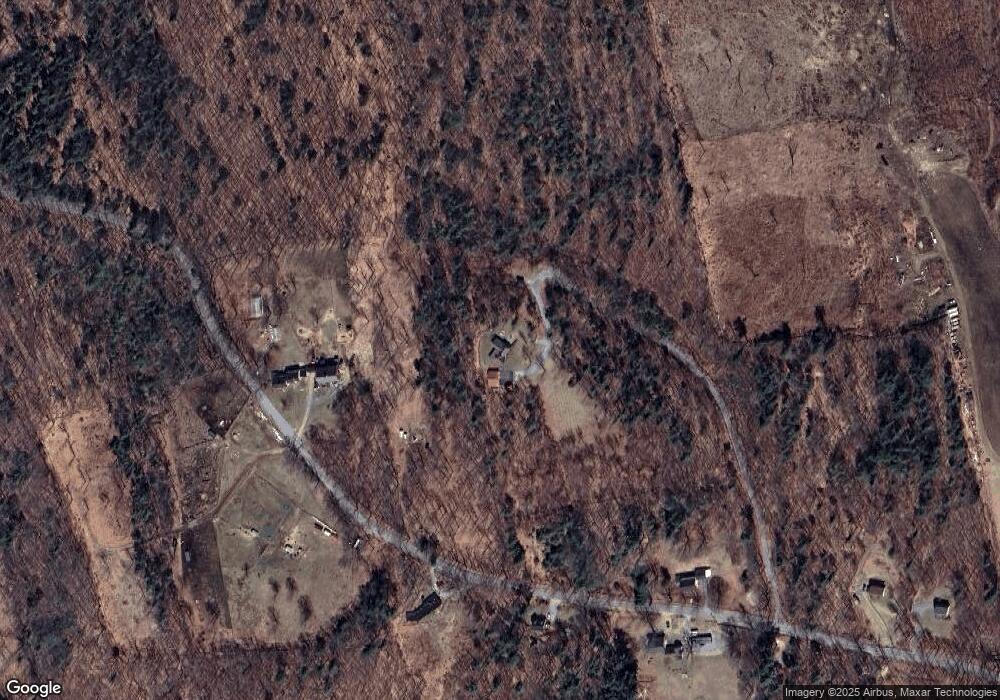
Map
Nearby Homes
- 196 Deering Center Rd
- 10 Sap House Rd
- 624 S Stark Hwy
- 200 Mountain Rd
- 238 Old Francestown Rd
- 281 Hodgdon Rd
- 194 Buckley Rd Unit 2
- 194 Buckley Rd Unit 44
- 103 Renshaw Rd
- 179 Oak Hill Rd
- 77 Gould Rd
- 30 Dels Way
- 93 Daniels Rd
- 450 Weare Rd
- 0 Huntington Hill Rd Unit 69
- 849 River Rd
- 174 S Stark Hwy Unit 13
- 174 S Stark Hwy Unit 1
- 174 S Stark Hwy Unit 23
- 92 Woodbury Rd
- 152 Mount Dearborn Rd
- lot 4 A Mount Dearborn Rd
- lot # 2 Mount Dearborn Rd
- 127 Mount Dearborn Rd
- 109 Mount Dearborn Rd
- 98 Mount Dearborn Rd
- 99 Mount Dearborn Rd
- 74 Mount Dearborn Rd
- 72 Mount Dearborn Rd
- 58 Mount Dearborn Rd
- 224 Mount Dearborn Rd
- 0 Mount Dearborn Rd Unit 4905280
- 00 Mount Dearborn Rd
- 47 Mount Dearborn Rd
- 121 Irving Dr
- 30 Rossdale Ln
- 411-144 Rossdale Ln
- 411-143 Rossdale Ln
- 411-142 Rossdale Ln
- 411-141 Rossdale Ln