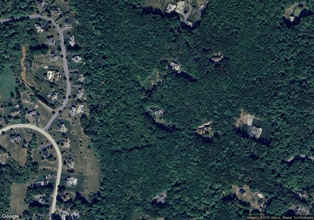
90 Nashua Rd Unit A Pepperell, MA 01463
Estimated Value: $847,000 - $1,171,000
4
Beds
4
Baths
4,065
Sq Ft
$234/Sq Ft
Est. Value
About This Home
This home is located at 90 Nashua Rd Unit A, Pepperell, MA 01463 and is currently estimated at $951,375, approximately $234 per square foot. 90 Nashua Rd Unit A is a home located in Middlesex County with nearby schools including North Middlesex Regional High School, Pepperell Christian Academy, and Maple Dene & Moppet School.
Ownership History
Date
Name
Owned For
Owner Type
Purchase Details
Closed on
Sep 19, 2018
Sold by
Barron Edward J
Bought by
I Have A Ret
Current Estimated Value
Purchase Details
Closed on
Aug 25, 2014
Sold by
Croteau John E and Croteau Susan M
Bought by
Barron Edward J
Home Financials for this Owner
Home Financials are based on the most recent Mortgage that was taken out on this home.
Original Mortgage
$494,400
Interest Rate
3%
Mortgage Type
New Conventional
Create a Home Valuation Report for This Property
The Home Valuation Report is an in-depth analysis detailing your home's value as well as a comparison with similar homes in the area
Home Values in the Area
Average Home Value in this Area
Purchase History
| Date | Buyer | Sale Price | Title Company |
|---|---|---|---|
| I Have A Ret | -- | -- | |
| I Have A Ret | -- | -- | |
| Barron Edward J | $618,000 | -- | |
| Barron Edward J | $618,000 | -- |
Source: Public Records
Mortgage History
| Date | Status | Borrower | Loan Amount |
|---|---|---|---|
| Previous Owner | Barron Edward J | $494,400 | |
| Previous Owner | Barron Edward J | $200,000 |
Source: Public Records
Tax History Compared to Growth
Tax History
| Year | Tax Paid | Tax Assessment Tax Assessment Total Assessment is a certain percentage of the fair market value that is determined by local assessors to be the total taxable value of land and additions on the property. | Land | Improvement |
|---|---|---|---|---|
| 2025 | $11,090 | $758,000 | $200,400 | $557,600 |
| 2024 | $10,626 | $740,500 | $182,900 | $557,600 |
| 2023 | $10,981 | $725,300 | $167,700 | $557,600 |
| 2022 | $11,494 | $670,200 | $147,900 | $522,300 |
| 2021 | $11,067 | $617,600 | $132,000 | $485,600 |
| 2020 | $10,629 | $626,000 | $132,000 | $494,000 |
| 2019 | $10,034 | $604,800 | $132,000 | $472,800 |
| 2018 | $9,157 | $558,700 | $132,000 | $426,700 |
| 2017 | $8,838 | $556,200 | $132,000 | $424,200 |
| 2016 | $8,576 | $518,800 | $132,000 | $386,800 |
| 2015 | $8,154 | $511,200 | $124,400 | $386,800 |
| 2014 | $7,473 | $471,200 | $124,400 | $346,800 |
Source: Public Records
Map
Nearby Homes