90 Rolling Cloud Dr Louisburg, NC 27549
Estimated Value: $247,000 - $352,462
3
Beds
2
Baths
1,317
Sq Ft
$219/Sq Ft
Est. Value
About This Home
This home is located at 90 Rolling Cloud Dr, Louisburg, NC 27549 and is currently estimated at $288,154, approximately $218 per square foot. 90 Rolling Cloud Dr is a home located in Franklin County with nearby schools including Louisburg Elementary School, Terrell Lane Middle School, and Louisburg High School.
Ownership History
Date
Name
Owned For
Owner Type
Purchase Details
Closed on
Apr 13, 2007
Sold by
Ashley Turner Buildeing Company Inc
Bought by
Klinger Brett
Current Estimated Value
Home Financials for this Owner
Home Financials are based on the most recent Mortgage that was taken out on this home.
Original Mortgage
$105,900
Outstanding Balance
$63,218
Interest Rate
6.1%
Mortgage Type
New Conventional
Estimated Equity
$224,936
Create a Home Valuation Report for This Property
The Home Valuation Report is an in-depth analysis detailing your home's value as well as a comparison with similar homes in the area
Home Values in the Area
Average Home Value in this Area
Purchase History
| Date | Buyer | Sale Price | Title Company |
|---|---|---|---|
| Klinger Brett | $136,000 | None Available |
Source: Public Records
Mortgage History
| Date | Status | Borrower | Loan Amount |
|---|---|---|---|
| Open | Klinger Brett | $105,900 |
Source: Public Records
Tax History
| Year | Tax Paid | Tax Assessment Tax Assessment Total Assessment is a certain percentage of the fair market value that is determined by local assessors to be the total taxable value of land and additions on the property. | Land | Improvement |
|---|---|---|---|---|
| 2025 | $1,588 | $245,280 | $62,400 | $182,880 |
| 2024 | $1,588 | $245,280 | $62,400 | $182,880 |
| 2023 | $1,476 | $154,780 | $27,500 | $127,280 |
| 2022 | $1,466 | $154,780 | $27,500 | $127,280 |
| 2021 | $1,481 | $154,780 | $27,500 | $127,280 |
| 2020 | $1,475 | $154,780 | $27,500 | $127,280 |
| 2019 | $1,461 | $154,780 | $27,500 | $127,280 |
| 2018 | $1,460 | $154,780 | $27,500 | $127,280 |
| 2017 | $1,417 | $136,810 | $25,000 | $111,810 |
| 2016 | $1,465 | $136,810 | $25,000 | $111,810 |
| 2015 | $1,458 | $136,810 | $25,000 | $111,810 |
| 2014 | $1,362 | $136,810 | $25,000 | $111,810 |
Source: Public Records
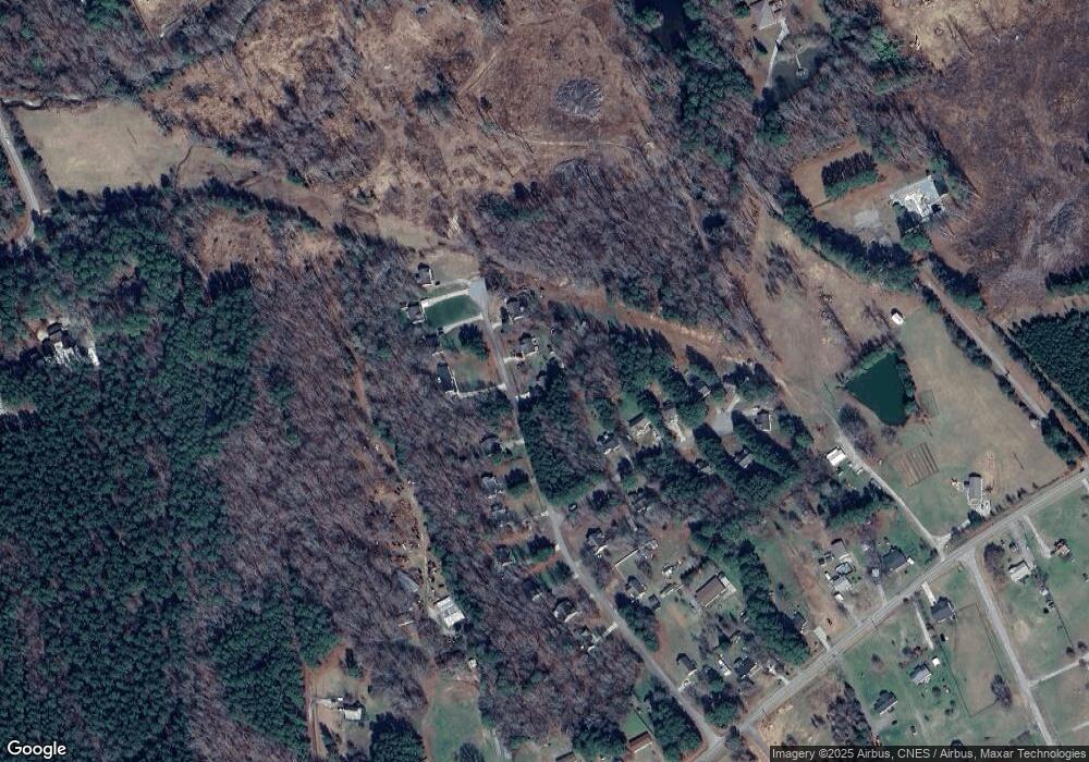
Map
Nearby Homes
- 55 Leisure Ln Unit 5
- 45 Leisure Ln Unit 4
- 201 Drew St
- 109 Drew St
- 7.69 Acres N Carolina 561
- 23.20 Acre N Carolina 561
- 10.26 Acre N Carolina 561
- 0-0 Halifax Rd
- 103 Crestwater Ct
- 125 Davis St
- 126 Person St
- 612 N Main St
- 121 Tanglewood Dr
- 215 Tanglewood Dr
- 401 N Main St
- 205 Wilder St
- 206 Edgewood Dr
- 313 W Noble St
- 150 Alston Pruitt Rd
- 301 W College St
- 100 Rolling Cloud Dr
- 110 Rolling Cloud Dr
- 25 Cedar Bluff Ln
- 95 Rolling Cloud Dr
- 35 Cedar Bluff Ln
- 115 Rolling Cloud Dr
- 75 Rolling Cloud Dr
- 45 Cedar Bluff Ln
- 125 Rolling Cloud Dr
- 20 Cedar Bluff Ln
- 65 Rolling Cloud Dr
- 55 Cedar Bluff Ln
- 30 Rolling Cloud Dr
- 135 Rolling Cloud Dr
- 40 Cedar Bluff Ln
- 55 Rolling Cloud Dr
- 65 Cedar Bluff Ln
- 45 Rolling Cloud Dr
- 20 Rolling Cloud Dr
- 50 Cedar Bluff Ln
Your Personal Tour Guide
Ask me questions while you tour the home.