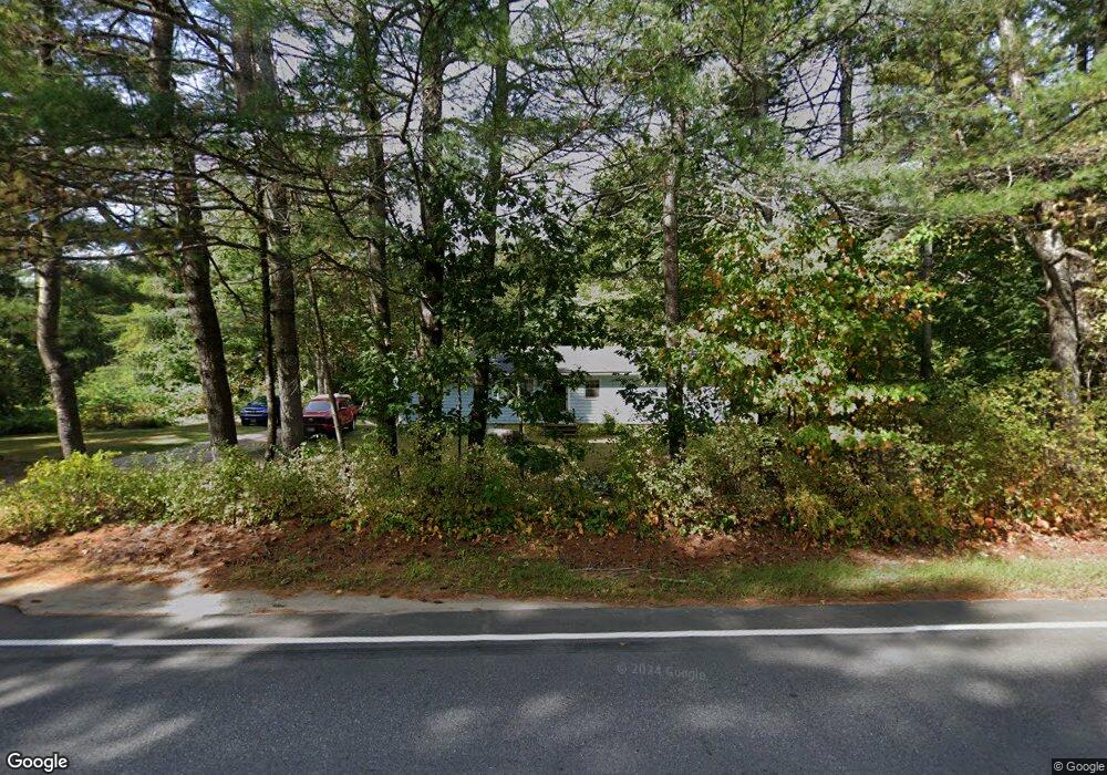
90 Sabbathday Rd New Gloucester, ME 04260
Estimated Value: $308,348 - $337,000
2
Beds
1
Bath
1,040
Sq Ft
$308/Sq Ft
Est. Value
About This Home
This home is located at 90 Sabbathday Rd, New Gloucester, ME 04260 and is currently estimated at $320,837, approximately $308 per square foot. 90 Sabbathday Rd is a home located in Cumberland County with nearby schools including Gray-New Gloucester High School and Fiddlehead School of Arts & Science.
Ownership History
Date
Name
Owned For
Owner Type
Purchase Details
Closed on
Jun 24, 2010
Sold by
Nielsen Louise R
Bought by
Daniels Chelley M
Current Estimated Value
Home Financials for this Owner
Home Financials are based on the most recent Mortgage that was taken out on this home.
Original Mortgage
$108,572
Outstanding Balance
$72,241
Interest Rate
4.98%
Mortgage Type
FHA
Estimated Equity
$248,596
Create a Home Valuation Report for This Property
The Home Valuation Report is an in-depth analysis detailing your home's value as well as a comparison with similar homes in the area
Home Values in the Area
Average Home Value in this Area
Purchase History
| Date | Buyer | Sale Price | Title Company |
|---|---|---|---|
| Daniels Chelley M | -- | -- |
Source: Public Records
Mortgage History
| Date | Status | Borrower | Loan Amount |
|---|---|---|---|
| Open | Daniels Chelley M | $108,572 |
Source: Public Records
Tax History Compared to Growth
Tax History
| Year | Tax Paid | Tax Assessment Tax Assessment Total Assessment is a certain percentage of the fair market value that is determined by local assessors to be the total taxable value of land and additions on the property. | Land | Improvement |
|---|---|---|---|---|
| 2025 | $1,966 | $127,084 | $62,234 | $64,850 |
| 2024 | $1,892 | $127,084 | $62,234 | $64,850 |
| 2023 | $1,816 | $127,084 | $62,234 | $64,850 |
| 2022 | $1,754 | $127,084 | $62,234 | $64,850 |
| 2021 | $1,754 | $127,084 | $62,234 | $64,850 |
| 2020 | $1,735 | $127,084 | $62,234 | $64,850 |
| 2019 | $1,753 | $103,700 | $63,600 | $40,100 |
| 2018 | $1,638 | $103,700 | $63,600 | $40,100 |
| 2017 | $7,142 | $103,700 | $63,600 | $40,100 |
| 2016 | $1,524 | $103,700 | $63,600 | $40,100 |
| 2015 | $1,519 | $103,700 | $63,600 | $40,100 |
| 2014 | $1,504 | $103,700 | $63,600 | $40,100 |
| 2013 | $1,395 | $103,700 | $63,600 | $40,100 |
Source: Public Records
Map
Nearby Homes
- TBD Targett Rd
- 343 Shaker Rd
- 423 Sabbathday Rd
- 14 Golden Way
- 271 Bennett Rd
- 24 Swamp Rd
- 00 N Shore Rd
- 22 Shaw Rd
- 4 Chelsey Ln
- 15 May Meadow Dr
- 74 May Meadow Dr
- 13 Mill Brook Rd Unit A
- 155 & 151 Gloucester Hill Rd
- 160 Gloucester Hill Rd
- 21 Westwood Rd
- 0 Mayall
- 157 Egypt Rd
- M011-006 Westwood Rd
- 11-007 Westwood Rd
- 127 Shaker Rd Unit 41
- 91 Sabbathday Rd
- 104 Sabbathday Rd
- 107 Sabbathday Rd
- 11 Krystle Ln
- 0 Shaker
- 0 Sabathday Unit 935616
- 65 Sabbathday Rd
- 27 Krystle Ln
- 20 Krystle Ln
- 120 Sabbathday Rd
- 61 Sabbathday Rd
- 119 Sabbathday Rd
- 118 Sabbathday Rd
- 49 Maine St
- 122 Sabbathday Rd
- 52 Maine St
- 38 Douglas Dr
- 44 Douglas Dr
- 136 Sabbathday Rd
- 283 Shaker Rd