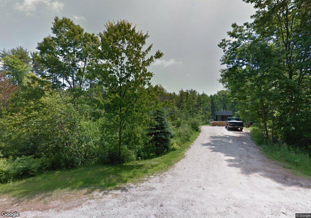
90 Webster Rd Freeport, ME 04032
Estimated Value: $453,000 - $532,000
3
Beds
2
Baths
1,387
Sq Ft
$354/Sq Ft
Est. Value
About This Home
This home is located at 90 Webster Rd, Freeport, ME 04032 and is currently estimated at $490,797, approximately $353 per square foot. 90 Webster Rd is a home with nearby schools including Morse Street School, Mast Landing School, and Freeport Middle School.
Create a Home Valuation Report for This Property
The Home Valuation Report is an in-depth analysis detailing your home's value as well as a comparison with similar homes in the area
Home Values in the Area
Average Home Value in this Area
Tax History
| Year | Tax Paid | Tax Assessment Tax Assessment Total Assessment is a certain percentage of the fair market value that is determined by local assessors to be the total taxable value of land and additions on the property. | Land | Improvement |
|---|---|---|---|---|
| 2025 | $4,710 | $340,100 | $161,100 | $179,000 |
| 2024 | $4,439 | $332,500 | $153,500 | $179,000 |
| 2023 | $4,056 | $295,000 | $139,500 | $155,500 |
| 2022 | $3,837 | $281,100 | $125,600 | $155,500 |
| 2021 | $3,339 | $281,100 | $125,600 | $155,500 |
| 2020 | $3,634 | $259,600 | $116,300 | $143,300 |
| 2019 | $13,428 | $244,800 | $109,800 | $135,000 |
| 2018 | $12,674 | $228,900 | $102,500 | $126,400 |
| 2017 | $11,883 | $220,800 | $100,200 | $120,600 |
| 2016 | $11,814 | $204,400 | $92,800 | $111,600 |
Source: Public Records
Map
Nearby Homes
- 62 Webster Rd
- 27 Youngs Ln Unit 27
- 2 Tidal Brook Rd
- 39 Hunter Rd
- 20 Harvest Ridge Rd Unit 23
- 26 Harvest Ridge Rd Unit 24
- 15 Linwood Rd Unit 15
- 5 Holbrook St
- 10 Durham Rd
- 42 Durham Rd
- 4 Harper's Trail
- 9 Gables Dr Unit 9
- 212 Main St
- 51 Old Field Rd
- 508 Mountfort Rd
- 8 Statler Ln
- 238 Hallowell Rd
- 0 Bayview St
- 11 Orchard Hill Rd
- 52 Birch Point Rd
Your Personal Tour Guide
Ask me questions while you tour the home.