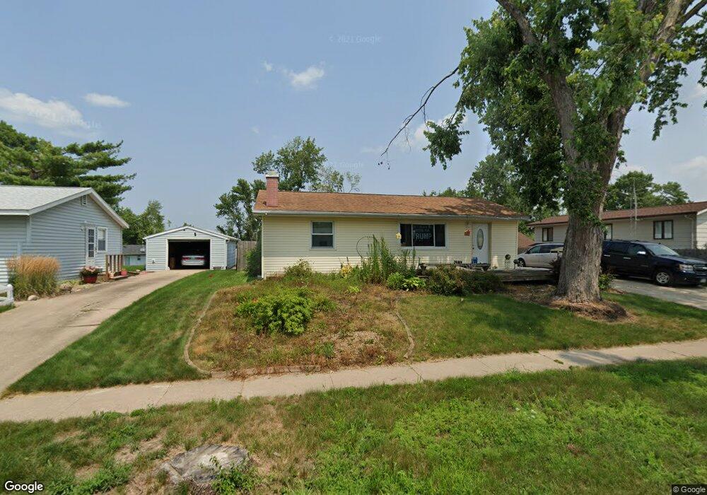
900 Alpine Rd Marion, IA 52302
Estimated Value: $187,000 - $203,000
3
Beds
1
Bath
929
Sq Ft
$209/Sq Ft
Est. Value
About This Home
This home is located at 900 Alpine Rd, Marion, IA 52302 and is currently estimated at $193,888, approximately $208 per square foot. 900 Alpine Rd is a home located in Linn County with nearby schools including Novak Elementary School, Oak Ridge School, and Linn-Mar High School.
Ownership History
Date
Name
Owned For
Owner Type
Purchase Details
Closed on
Aug 20, 2021
Sold by
Ishman Heidi
Bought by
Ishman Scott
Current Estimated Value
Purchase Details
Closed on
Jan 27, 2000
Sold by
Ishman Ronald L and Ishman Elaine J
Bought by
Ishman Scott D and Ishman Heidi M
Home Financials for this Owner
Home Financials are based on the most recent Mortgage that was taken out on this home.
Original Mortgage
$89,250
Interest Rate
10.49%
Purchase Details
Closed on
Jan 2, 1998
Sold by
Ishman Kevin M and Ishman Lori J
Bought by
Ishman Scott D and Ishman Heidi M
Home Financials for this Owner
Home Financials are based on the most recent Mortgage that was taken out on this home.
Original Mortgage
$77,400
Interest Rate
7.26%
Create a Home Valuation Report for This Property
The Home Valuation Report is an in-depth analysis detailing your home's value as well as a comparison with similar homes in the area
Home Values in the Area
Average Home Value in this Area
Purchase History
| Date | Buyer | Sale Price | Title Company |
|---|---|---|---|
| Ishman Scott | $7,500 | -- | |
| Ishman Scott D | -- | -- | |
| Ishman Scott D | $85,500 | -- |
Source: Public Records
Mortgage History
| Date | Status | Borrower | Loan Amount |
|---|---|---|---|
| Previous Owner | Ishman Scott D | $89,250 | |
| Previous Owner | Ishman Scott D | $77,400 |
Source: Public Records
Tax History Compared to Growth
Tax History
| Year | Tax Paid | Tax Assessment Tax Assessment Total Assessment is a certain percentage of the fair market value that is determined by local assessors to be the total taxable value of land and additions on the property. | Land | Improvement |
|---|---|---|---|---|
| 2025 | $3,580 | $209,800 | $19,600 | $190,200 |
| 2024 | $3,458 | $200,800 | $19,600 | $181,200 |
| 2023 | $3,458 | $200,800 | $19,600 | $181,200 |
| 2022 | $3,294 | $164,700 | $19,600 | $145,100 |
| 2021 | $3,200 | $164,700 | $19,600 | $145,100 |
| 2020 | $3,200 | $150,600 | $19,600 | $131,000 |
| 2019 | $2,964 | $139,900 | $19,600 | $120,300 |
| 2018 | $2,844 | $139,900 | $19,600 | $120,300 |
| 2017 | $2,846 | $131,900 | $19,600 | $112,300 |
| 2016 | $2,846 | $131,900 | $19,600 | $112,300 |
| 2015 | $2,837 | $131,900 | $19,600 | $112,300 |
| 2014 | $2,730 | $131,900 | $19,600 | $112,300 |
| 2013 | $2,621 | $131,900 | $19,600 | $112,300 |
Source: Public Records
Map
Nearby Homes
- 1195 Lindale Dr
- 915 W 10th Ave
- 1065 W 10th Ave
- 1125 W 10th Ave
- 655 W 9th Ave
- 1032 Archer Dr
- 823 Flight Dr
- 1145 Blairs Ferry Rd
- 1074 Archer Dr
- 117 Brentwood Dr NE
- 840 Longbow Ct
- 1080 Everdeen Ct
- 1089 Archer Dr
- 785 Bowstring Dr
- 806 Longbow Ct
- 201 Brentwood Dr NE
- 2010 Newcastle Rd
- 1930 Bowstring Dr
- 1932 Bowstring Dr
- 332 Quiver Ct