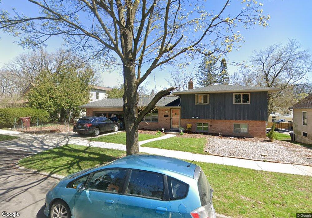
900 Brooks St Ann Arbor, MI 48103
Water Hill NeighborhoodEstimated Value: $503,000 - $694,000
4
Beds
4
Baths
2,086
Sq Ft
$308/Sq Ft
Est. Value
About This Home
This home is located at 900 Brooks St, Ann Arbor, MI 48103 and is currently estimated at $641,709, approximately $307 per square foot. 900 Brooks St is a home located in Washtenaw County with nearby schools including Bach Elementary School, Slauson Middle School, and Skyline High School.
Ownership History
Date
Name
Owned For
Owner Type
Purchase Details
Closed on
May 31, 2023
Sold by
Macdonald James Bruce and Macdonald Nancy Lynn
Bought by
Macdonald James Bruce
Current Estimated Value
Purchase Details
Closed on
Aug 2, 2004
Sold by
Swan Lionel
Bought by
Macdonald James Bruce and Schlabach Nancy Lynn
Home Financials for this Owner
Home Financials are based on the most recent Mortgage that was taken out on this home.
Original Mortgage
$212,000
Interest Rate
6.35%
Mortgage Type
Unknown
Create a Home Valuation Report for This Property
The Home Valuation Report is an in-depth analysis detailing your home's value as well as a comparison with similar homes in the area
Home Values in the Area
Average Home Value in this Area
Purchase History
| Date | Buyer | Sale Price | Title Company |
|---|---|---|---|
| Macdonald James Bruce | -- | None Listed On Document | |
| Macdonald James Bruce | $265,000 | -- |
Source: Public Records
Mortgage History
| Date | Status | Borrower | Loan Amount |
|---|---|---|---|
| Previous Owner | Macdonald James Bruce | $212,000 |
Source: Public Records
Tax History Compared to Growth
Tax History
| Year | Tax Paid | Tax Assessment Tax Assessment Total Assessment is a certain percentage of the fair market value that is determined by local assessors to be the total taxable value of land and additions on the property. | Land | Improvement |
|---|---|---|---|---|
| 2025 | $8,609 | $293,900 | $0 | $0 |
| 2024 | $8,016 | $265,100 | $0 | $0 |
| 2023 | $7,392 | $243,700 | $0 | $0 |
| 2022 | $8,055 | $238,100 | $0 | $0 |
| 2021 | $7,865 | $230,000 | $0 | $0 |
| 2020 | $7,706 | $229,600 | $0 | $0 |
| 2019 | $7,334 | $222,500 | $222,500 | $0 |
| 2018 | $7,143 | $201,700 | $0 | $0 |
| 2017 | $6,948 | $200,100 | $0 | $0 |
| 2016 | $6,704 | $138,943 | $0 | $0 |
| 2015 | $6,384 | $138,528 | $0 | $0 |
| 2014 | $6,384 | $134,200 | $0 | $0 |
| 2013 | -- | $134,200 | $0 | $0 |
Source: Public Records
Map
Nearby Homes
- 916 Brooks St
- 818 Gott St
- 601 Cressfield Ln
- 508 W Summit St
- 603 Gott St
- 445 Hiscock St
- 218 W Kingsley St Unit 209
- 1320 Orkney Dr
- 209 N 7th St
- 209 Sunset Rd
- 207 Sunset Rd
- 118 W Summit St
- 410 N 1st St Unit 301
- 410 N 1st St Unit 207
- 117 E Summit St
- 639 N 4th Ave
- 212 Miller Ave Unit 203
- 212 Miller Ave Unit 102
- 212 Miller Ave Unit 103
- 212 Miller Ave Unit 302