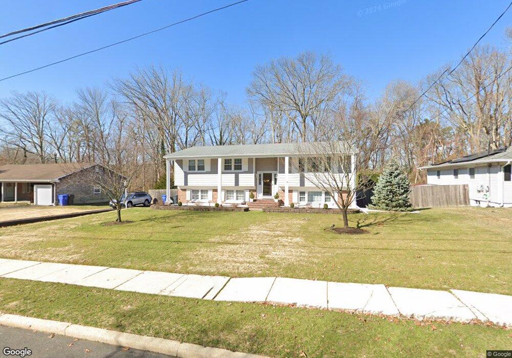
900 Brookside Dr Toms River, NJ 08753
Estimated Value: $489,214 - $623,000
3
Beds
2
Baths
1,882
Sq Ft
$303/Sq Ft
Est. Value
About This Home
This home is located at 900 Brookside Dr, Toms River, NJ 08753 and is currently estimated at $570,554, approximately $303 per square foot. 900 Brookside Dr is a home located in Ocean County with nearby schools including St Joseph Grade School, Ocean County Christian Academy, and Donovan Catholic High School.
Ownership History
Date
Name
Owned For
Owner Type
Purchase Details
Closed on
May 15, 1995
Sold by
Stanzione Michael
Bought by
Yost Keith and Yost Christine
Current Estimated Value
Home Financials for this Owner
Home Financials are based on the most recent Mortgage that was taken out on this home.
Original Mortgage
$119,000
Interest Rate
8.34%
Create a Home Valuation Report for This Property
The Home Valuation Report is an in-depth analysis detailing your home's value as well as a comparison with similar homes in the area
Home Values in the Area
Average Home Value in this Area
Purchase History
| Date | Buyer | Sale Price | Title Company |
|---|---|---|---|
| Yost Keith | $138,500 | -- |
Source: Public Records
Mortgage History
| Date | Status | Borrower | Loan Amount |
|---|---|---|---|
| Closed | Yost Keith | $119,000 |
Source: Public Records
Tax History
| Year | Tax Paid | Tax Assessment Tax Assessment Total Assessment is a certain percentage of the fair market value that is determined by local assessors to be the total taxable value of land and additions on the property. | Land | Improvement |
|---|---|---|---|---|
| 2025 | $6,999 | $358,200 | $93,000 | $265,200 |
| 2024 | $6,200 | $358,200 | $93,000 | $265,200 |
| 2023 | $5,978 | $358,200 | $93,000 | $265,200 |
| 2022 | $5,978 | $358,200 | $93,000 | $265,200 |
| 2021 | $5,987 | $246,300 | $98,000 | $148,300 |
| 2020 | $6,143 | $246,300 | $98,000 | $148,300 |
| 2019 | $5,877 | $246,300 | $98,000 | $148,300 |
| 2018 | $5,798 | $246,300 | $98,000 | $148,300 |
| 2017 | $5,749 | $246,300 | $98,000 | $148,300 |
| 2016 | $5,598 | $246,300 | $98,000 | $148,300 |
| 2015 | $5,387 | $246,300 | $98,000 | $148,300 |
| 2014 | $5,128 | $246,300 | $98,000 | $148,300 |
Source: Public Records
Map
Nearby Homes
- 731 Bay Ave
- 718 Arrow Dr
- 144 Lakeview Ct
- 830 Brookside Dr
- 927 Indian Hill Rd
- 762 Highmeadow Dr
- 975 Indian Hill Rd
- 348 Cedar Grove Rd
- 902 Bent Trail
- 819 Oak Ave
- 821 Oak Ave
- 823 Oak Ave
- 161 Impatiens Ct Unit 161E
- 510 Pheasant Ln
- 515 Pheasant Ln
- 1037 Savannah St
- 57 Turnberry Cir Unit 145
- 684 Brookside Dr
- 647 Hugo Dr
- 2 Apache Dr
- 896 Brookside Dr
- 904 Brookside Dr
- 892 Brookside Dr
- 908 Brookside Dr
- 899 Brookside Dr
- 903 Brookside Dr
- 895 Brookside Dr
- 891 Brookside Dr
- 907 Brookside Dr
- 912 Brookside Dr
- 888 Brookside Dr
- 679 Bay Ave
- 911 Brookside Dr
- 6 Brookside Ct
- 909 Roundtree Dr
- 916 Brookside Dr
- 913 Roundtree Dr
- 9 Brookside Ct
- 884 Brookside Dr
- 915 Brookside Dr
Your Personal Tour Guide
Ask me questions while you tour the home.