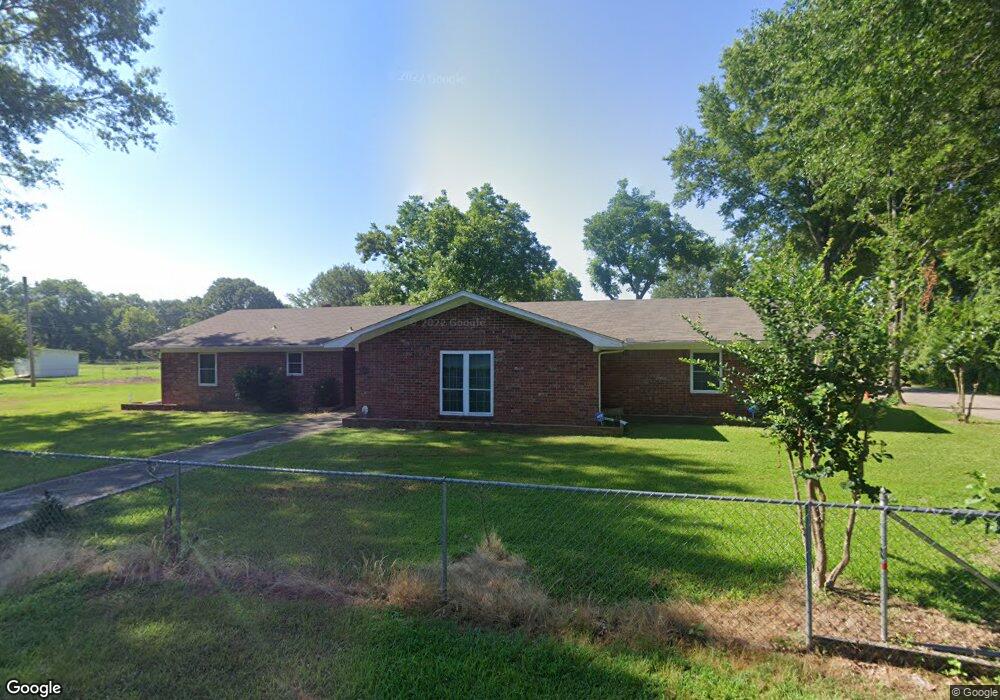
900 E 19th Ave Pine Bluff, AR 71601
Estimated Value: $97,884 - $154,000
Studio
2
Baths
3,061
Sq Ft
$42/Sq Ft
Est. Value
About This Home
This home is located at 900 E 19th Ave, Pine Bluff, AR 71601 and is currently estimated at $128,471, approximately $41 per square foot. 900 E 19th Ave is a home located in Jefferson County with nearby schools including Matthews Elementary School, Dollarway High School, and Pine Bluff Lighthouse Academy.
Ownership History
Date
Name
Owned For
Owner Type
Purchase Details
Closed on
Nov 4, 2010
Sold by
Marks Marilyn and Marks Curtis
Bought by
Everett Brown L and Everett Earlene
Current Estimated Value
Home Financials for this Owner
Home Financials are based on the most recent Mortgage that was taken out on this home.
Original Mortgage
$113,471
Outstanding Balance
$75,448
Interest Rate
4.5%
Mortgage Type
FHA
Estimated Equity
$53,023
Purchase Details
Closed on
Mar 13, 2001
Bought by
Marks Marilyn
Purchase Details
Closed on
Aug 3, 1962
Bought by
Clark Cleveland & Wf
Create a Home Valuation Report for This Property
The Home Valuation Report is an in-depth analysis detailing your home's value as well as a comparison with similar homes in the area
Purchase History
| Date | Buyer | Sale Price | Title Company |
|---|---|---|---|
| Everett Brown L | -- | -- | |
| Marks Marilyn | -- | -- | |
| Clark Cleveland & Wf | -- | -- |
Source: Public Records
Mortgage History
| Date | Status | Borrower | Loan Amount |
|---|---|---|---|
| Open | Everett Brown L | $113,471 |
Source: Public Records
Tax History
| Year | Tax Paid | Tax Assessment Tax Assessment Total Assessment is a certain percentage of the fair market value that is determined by local assessors to be the total taxable value of land and additions on the property. | Land | Improvement |
|---|---|---|---|---|
| 2025 | $1 | $18,980 | $600 | $18,380 |
| 2024 | $51 | $18,980 | $600 | $18,380 |
| 2023 | $126 | $18,980 | $600 | $18,380 |
| 2022 | $127 | $16,050 | $540 | $15,510 |
| 2021 | $127 | $16,050 | $540 | $15,510 |
| 2020 | $127 | $16,050 | $540 | $15,510 |
| 2019 | $127 | $16,050 | $540 | $15,510 |
| 2018 | $151 | $16,050 | $540 | $15,510 |
| 2017 | $152 | $8,170 | $540 | $7,630 |
| 2016 | $152 | $8,170 | $540 | $7,630 |
| 2015 | $476 | $8,170 | $540 | $7,630 |
| 2014 | -- | $14,120 | $1,540 | $12,580 |
Source: Public Records
Map
Nearby Homes
- 517 E 17th Ave
- 00 E 24th Ave
- 208 Rutherford Place
- 215 E 26th Ave
- 210 W 18th Ave
- 820 S Ohio St
- 2505 S Main St
- 00
- 000 S 65 Hwy
- 310 W 24th Ave
- 0 NE Corner Hwy 65 425-81
- 999 S Missouri and E 30th
- 1509 S Walnut St
- 1603 Belmoor Dr
- 315 W 15th Ave
- 202 W 27th Ave
- 1307 S Dakota St
- 2103 S Beech St
- 1700 S Laurel St
- 1200 S Walnut St Unit 1202
- 519 E 19th Ave
- 1909 S Virginia St
- 1907 S Virginia St
- 518 Talbot St
- 516 Talbot St
- 520 Talbot St
- 913 E 19th Ave
- 1905 S Virginia St
- 521 Park Place
- 2004 S Indiana St
- 1903 S Virginia St
- 1918 S Indiana St
- 514 Talbot St
- 519 Park Place
- 1901 S Virginia St
- 511 Talbot St
- 1904 S Indiana St
- 512 Talbot St
- 917 E 21st Ave
- 903 E 21st Ave
Your Personal Tour Guide
Ask me questions while you tour the home.