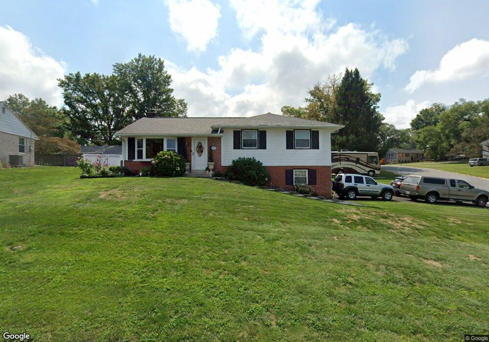
900 Sherry Ln Lancaster, PA 17601
Oyster Point NeighborhoodEstimated Value: $323,000 - $378,000
3
Beds
1
Bath
1,166
Sq Ft
$294/Sq Ft
Est. Value
About This Home
This home is located at 900 Sherry Ln, Lancaster, PA 17601 and is currently estimated at $342,262, approximately $293 per square foot. 900 Sherry Ln is a home located in Lancaster County with nearby schools including Centerville Elementary School, Centerville Middle School, and Hempfield High School.
Ownership History
Date
Name
Owned For
Owner Type
Purchase Details
Closed on
Feb 26, 2019
Sold by
Erb Timothy R
Bought by
Erb Timothy R and Papadopoulos Maria
Current Estimated Value
Purchase Details
Closed on
Jun 8, 2011
Sold by
Erb Timothy R and Erb Bonnie L
Bought by
Erb Timothy R
Purchase Details
Closed on
Mar 30, 2007
Sold by
Harriger Joseph C and Harriger Julie A
Bought by
Erb Timothy R and Erb Bonnie L
Home Financials for this Owner
Home Financials are based on the most recent Mortgage that was taken out on this home.
Original Mortgage
$164,925
Interest Rate
6.33%
Mortgage Type
Purchase Money Mortgage
Create a Home Valuation Report for This Property
The Home Valuation Report is an in-depth analysis detailing your home's value as well as a comparison with similar homes in the area
Home Values in the Area
Average Home Value in this Area
Purchase History
| Date | Buyer | Sale Price | Title Company |
|---|---|---|---|
| Erb Timothy R | -- | None Available | |
| Erb Timothy R | -- | None Available | |
| Erb Timothy R | $219,900 | None Available |
Source: Public Records
Mortgage History
| Date | Status | Borrower | Loan Amount |
|---|---|---|---|
| Closed | Erb Timothy R | $164,925 |
Source: Public Records
Tax History
| Year | Tax Paid | Tax Assessment Tax Assessment Total Assessment is a certain percentage of the fair market value that is determined by local assessors to be the total taxable value of land and additions on the property. | Land | Improvement |
|---|---|---|---|---|
| 2025 | $3,209 | $148,500 | $54,100 | $94,400 |
| 2024 | $3,209 | $148,500 | $54,100 | $94,400 |
| 2023 | $3,145 | $148,500 | $54,100 | $94,400 |
| 2022 | $3,058 | $148,500 | $54,100 | $94,400 |
| 2021 | $3,010 | $148,500 | $54,100 | $94,400 |
| 2020 | $3,010 | $148,500 | $54,100 | $94,400 |
| 2019 | $2,959 | $148,500 | $54,100 | $94,400 |
| 2018 | $582 | $148,500 | $54,100 | $94,400 |
| 2017 | $3,326 | $132,100 | $37,900 | $94,200 |
| 2016 | $3,326 | $132,100 | $37,900 | $94,200 |
| 2015 | $668 | $132,100 | $37,900 | $94,200 |
| 2014 | $2,446 | $132,100 | $37,900 | $94,200 |
Source: Public Records
Map
Nearby Homes
- 900 Cardinal Rd
- 825 Robin Rd
- 2808 Spring Valley Rd
- 2842 Wimbledon Ln
- 107 Treetops Dr
- 214 Winding Hill Dr
- 123 Pinnacle Point Dr
- 401 Country Place Dr
- 2523 Nolt Rd
- 1006 Country Place Dr
- 3059 Buckthorn Dr
- 3242 Elmae Dr
- 2458 Spring Water Cir
- 2456 Spring Water Cir
- 2447 Spring Water Cir
- 1049 Signal Hill Ln
- 2838 Harrisburg Pike
- 3710 Little Mac Dr
- 3301 Marietta Ave
- 2336 Wood St
Your Personal Tour Guide
Ask me questions while you tour the home.