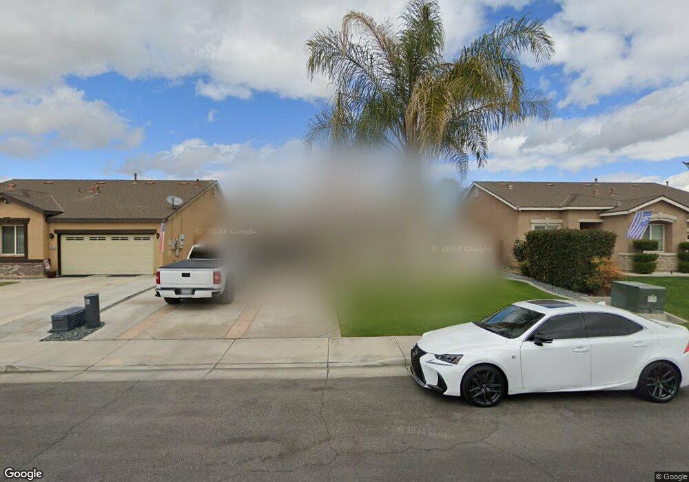
9000 Butterfly Rose Ave Bakersfield, CA 93311
Campus Park NeighborhoodEstimated Value: $416,000 - $435,135
4
Beds
2
Baths
1,833
Sq Ft
$234/Sq Ft
Est. Value
About This Home
This home is located at 9000 Butterfly Rose Ave, Bakersfield, CA 93311 and is currently estimated at $429,784, approximately $234 per square foot. 9000 Butterfly Rose Ave is a home located in Kern County with nearby schools including Sing Lum Elementary School, Tevis Junior High School, and Independence High School.
Ownership History
Date
Name
Owned For
Owner Type
Purchase Details
Closed on
Nov 2, 2010
Sold by
Lennar Homes Of California Inc
Bought by
Archdale Kalieb
Current Estimated Value
Home Financials for this Owner
Home Financials are based on the most recent Mortgage that was taken out on this home.
Original Mortgage
$199,808
Outstanding Balance
$131,830
Interest Rate
4.27%
Estimated Equity
$297,954
Create a Home Valuation Report for This Property
The Home Valuation Report is an in-depth analysis detailing your home's value as well as a comparison with similar homes in the area
Home Values in the Area
Average Home Value in this Area
Purchase History
| Date | Buyer | Sale Price | Title Company |
|---|---|---|---|
| Archdale Kalieb | $202,500 | North American Title Company |
Source: Public Records
Mortgage History
| Date | Status | Borrower | Loan Amount |
|---|---|---|---|
| Open | Archdale Kalieb | $199,808 |
Source: Public Records
Tax History Compared to Growth
Tax History
| Year | Tax Paid | Tax Assessment Tax Assessment Total Assessment is a certain percentage of the fair market value that is determined by local assessors to be the total taxable value of land and additions on the property. | Land | Improvement |
|---|---|---|---|---|
| 2025 | $4,171 | $286,486 | $51,240 | $235,246 |
| 2024 | $4,098 | $280,870 | $50,236 | $230,634 |
| 2023 | $4,098 | $275,363 | $49,251 | $226,112 |
| 2022 | $3,933 | $269,965 | $48,286 | $221,679 |
| 2021 | $3,806 | $264,673 | $47,340 | $217,333 |
| 2020 | $3,508 | $237,216 | $46,855 | $190,361 |
| 2019 | $3,412 | $237,216 | $46,855 | $190,361 |
| 2018 | $3,272 | $228,007 | $45,037 | $182,970 |
| 2017 | $3,213 | $223,537 | $44,154 | $179,383 |
| 2016 | $3,032 | $219,155 | $43,289 | $175,866 |
| 2015 | $3,013 | $215,864 | $42,639 | $173,225 |
| 2014 | $2,879 | $211,636 | $41,804 | $169,832 |
Source: Public Records
Map
Nearby Homes
- 9009 Coulter Ct
- 9320 Cadbury Dr
- 9114 Centennial Star Dr
- 9415 Tahiti Ave
- 9326 Cousteau Ave
- 9008 Heely Ct
- 9608 Lacroix Ct
- 9420 Coney Island Dr
- 9907 Cobblestone Ave Unit 3
- 9403 Metropolitan Way
- 9909 Grey Goose St
- 10015 Saint Albans Ave
- 5315 Mountain Plover Ave
- 9905 Tungsten St
- 10016 Cobblestone Ave
- 9209 Campus Park Ct
- 9307 Empire State Dr
- 9509 Metropolitan Way
- 9408 Nickam Ct
- 10113 Saint Albans Ave
- 9004 Butterfly Rose Ave
- 8914 Butterfly Rose Ave
- 9008 Butterfly Rose Ave
- 9003 Cadbury Dr
- 9007 Cadbury Dr
- 8910 Butterfly Rose Ave
- 8913 Cadbury Dr
- 9011 Cadbury Dr
- 9012 Butterfly Rose Ave
- 8909 Cadbury Dr
- 9005 Butterfly Rose Ave
- 9001 Butterfly Rose Ave
- 8906 Butterfly Rose Ave
- 9009 Butterfly Rose Ave
- 8915 Butterfly Rose Ave
- 9015 Cadbury Dr
- 8905 Cadbury Dr
- 9102 Butterfly Rose Ave
- 8911 Butterfly Rose Ave
- 9013 Butterfly Rose Ave