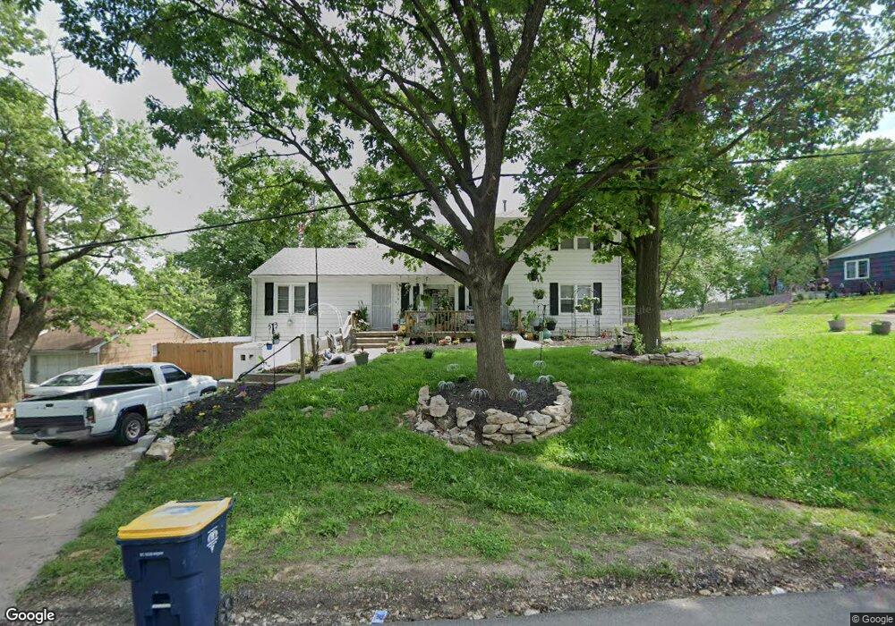
9001 Leeds Rd Kansas City, MO 64129
Estimated Value: $194,160 - $251,000
4
Beds
2
Baths
2,025
Sq Ft
$106/Sq Ft
Est. Value
About This Home
This home is located at 9001 Leeds Rd, Kansas City, MO 64129 and is currently estimated at $214,790, approximately $106 per square foot. 9001 Leeds Rd is a home located in Jackson County with nearby schools including Pitcher Elementary School, Northeast Middle School, and East High School.
Ownership History
Date
Name
Owned For
Owner Type
Purchase Details
Closed on
Mar 12, 2003
Sold by
Durham Ronald L
Bought by
Federal National Mortgage Association
Current Estimated Value
Purchase Details
Closed on
May 13, 2001
Sold by
Marriott Bessie Gladys
Bought by
Durham Ronald L
Home Financials for this Owner
Home Financials are based on the most recent Mortgage that was taken out on this home.
Original Mortgage
$79,500
Interest Rate
6.99%
Mortgage Type
Purchase Money Mortgage
Create a Home Valuation Report for This Property
The Home Valuation Report is an in-depth analysis detailing your home's value as well as a comparison with similar homes in the area
Home Values in the Area
Average Home Value in this Area
Purchase History
| Date | Buyer | Sale Price | Title Company |
|---|---|---|---|
| Federal National Mortgage Association | $91,510 | -- | |
| Durham Ronald L | -- | Stewart Title |
Source: Public Records
Mortgage History
| Date | Status | Borrower | Loan Amount |
|---|---|---|---|
| Previous Owner | Durham Ronald L | $79,500 |
Source: Public Records
Tax History Compared to Growth
Tax History
| Year | Tax Paid | Tax Assessment Tax Assessment Total Assessment is a certain percentage of the fair market value that is determined by local assessors to be the total taxable value of land and additions on the property. | Land | Improvement |
|---|---|---|---|---|
| 2025 | $2,144 | $20,855 | $3,690 | $17,165 |
| 2024 | $2,123 | $27,159 | $3,074 | $24,085 |
| 2023 | $2,123 | $27,158 | $1,839 | $25,319 |
| 2022 | $1,297 | $15,770 | $3,572 | $12,198 |
| 2021 | $1,293 | $15,770 | $3,572 | $12,198 |
| 2020 | $1,305 | $15,725 | $3,572 | $12,153 |
| 2019 | $1,278 | $15,725 | $3,572 | $12,153 |
| 2018 | $929 | $11,673 | $2,297 | $9,376 |
| 2017 | $929 | $11,673 | $2,297 | $9,376 |
| 2016 | $920 | $11,487 | $1,174 | $10,313 |
| 2014 | $895 | $11,153 | $1,140 | $10,013 |
Source: Public Records
Map
Nearby Homes
- 9000 Leeds Rd
- 00 S Denton Rd
- 3407 S Blue Ridge Cut Off N A
- 4000 Crescent Ave
- 3303 S Overton Ave
- 4331 Laurel Ave
- 3500 Blue Ridge Blvd
- 3118 Wallace Ave
- 4120 Hawthorne Ave
- 3123 Marsh Ave
- 3122 Donnelly Ave
- 10301 E 39th Terrace
- N/A N A N A
- 10307 E 34th Terrace S
- 3507 S Hardy Ave
- 10401 E 35th St S
- 2821 Stark Ave
- 10501 E 35th St S
- 2910 Wallace Ave
- 3612 S Ralston Ave
- 9003 Leeds Rd
- 8923 Leeds Rd
- 9007 Leeds Rd
- 9008 Leeds Rd
- 8921 Leeds Rd
- 3636 Hunter Ave
- 8954 Leeds Rd
- 3625 Hunter Ave
- 8907 Leeds Rd
- 3634 Hunter Ave
- 8952 Leeds Rd
- 3624 Hunter Ave
- 3619 Hunter Ave
- 3622 Blue Ridge Cut Off
- 3622 Blue Ridge Cut Off
- 3700 Blue Ridge Cut Off
- 8912 Leeds Rd
- 3614 Hunter Ave
- 3615 Hunter Ave
- 3616 Blue Ridge Cut Off