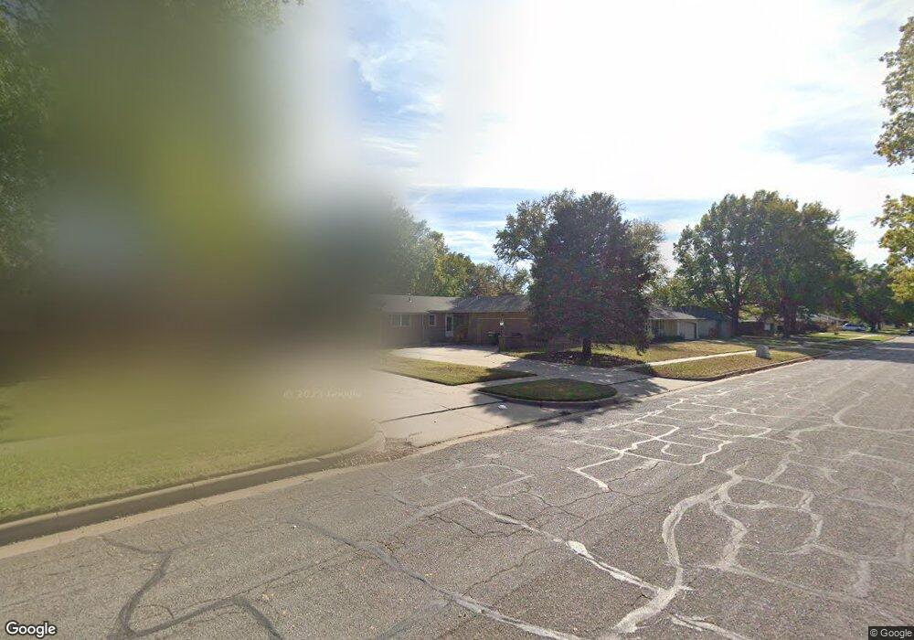
9001 W Harvest Ln Wichita, KS 67212
Westlink NeighborhoodEstimated Value: $229,748 - $265,000
3
Beds
2
Baths
1,326
Sq Ft
$187/Sq Ft
Est. Value
About This Home
This home is located at 9001 W Harvest Ln, Wichita, KS 67212 and is currently estimated at $247,374, approximately $186 per square foot. 9001 W Harvest Ln is a home located in Sedgwick County with nearby schools including McCollom Elementary School, Wilbur Middle School, and Wichita Northwest High School.
Ownership History
Date
Name
Owned For
Owner Type
Purchase Details
Closed on
Apr 28, 2017
Sold by
Meadows Roebrt A and Meadows Jill M
Bought by
Meadows Jill M
Current Estimated Value
Home Financials for this Owner
Home Financials are based on the most recent Mortgage that was taken out on this home.
Original Mortgage
$82,000
Interest Rate
4.23%
Mortgage Type
New Conventional
Purchase Details
Closed on
Feb 9, 1996
Sold by
Meadows Robert A and Rood Jo Beth
Bought by
Meadows Robert A and Meadows Jill M
Create a Home Valuation Report for This Property
The Home Valuation Report is an in-depth analysis detailing your home's value as well as a comparison with similar homes in the area
Home Values in the Area
Average Home Value in this Area
Purchase History
| Date | Buyer | Sale Price | Title Company |
|---|---|---|---|
| Meadows Jill M | -- | None Available | |
| Meadows Robert A | -- | None Available |
Source: Public Records
Mortgage History
| Date | Status | Borrower | Loan Amount |
|---|---|---|---|
| Closed | Meadows Jill M | $82,000 |
Source: Public Records
Tax History Compared to Growth
Tax History
| Year | Tax Paid | Tax Assessment Tax Assessment Total Assessment is a certain percentage of the fair market value that is determined by local assessors to be the total taxable value of land and additions on the property. | Land | Improvement |
|---|---|---|---|---|
| 2025 | $2,359 | $23,852 | $5,417 | $18,435 |
| 2023 | $2,359 | $20,287 | $3,485 | $16,802 |
| 2022 | $1,972 | $17,860 | $3,289 | $14,571 |
| 2021 | $1,919 | $16,848 | $3,289 | $13,559 |
| 2020 | $1,815 | $15,893 | $3,289 | $12,604 |
| 2019 | $1,697 | $14,858 | $3,289 | $11,569 |
| 2018 | $1,583 | $13,846 | $2,254 | $11,592 |
| 2017 | $1,584 | $0 | $0 | $0 |
| 2016 | $1,520 | $0 | $0 | $0 |
| 2015 | $1,427 | $0 | $0 | $0 |
| 2014 | $1,398 | $0 | $0 | $0 |
Source: Public Records
Map
Nearby Homes
- 9026 W Harvest Ct
- 8930 W Suncrest St
- 1269 N Wood Ave
- 9221 W Suncrest St
- 9001 W 11th St N
- 9336 W Briarwood Ct
- 1150 N Wood Ave
- 1112 N Westfield Ave
- 8608 W Nantucket St
- 1671 N Maybelle St
- 949 N Murray St
- 1548 N Amarado Ct
- 1534 N Valleyview Ct
- 9117 W Westport St
- 1842 N Cheryl Ct
- 8301 W Aberdeen Cir
- 1138 N Chipper Ln
- 1736 N Amarado St
- 8803 W 18th Ct N
- 8205 W 16th St N
- 9011 W Harvest Ln
- 8941 W Harvest Ln
- 9021 W Harvest Ln
- 9000 W Suncrest St
- 9034 W Harvest Ln
- 9038 W Harvest Ct
- 9010 W Suncrest St
- 8940 W Suncrest St
- 9031 W Harvest Ln
- 9038 W Harvest Ln
- 9020 W Suncrest St
- 9030 W Harvest Ct
- 9006 W Harvest Ct
- 9042 W Harvest Ct
- 9030 W Suncrest St
- 9041 W Harvest Ln
- 9100 W Harvest Ln
- 8937 W Suncrest St
- 9010 W Harvest Ct
- 9001 W Suncrest St